Interactive hiking guide
Coronallacs
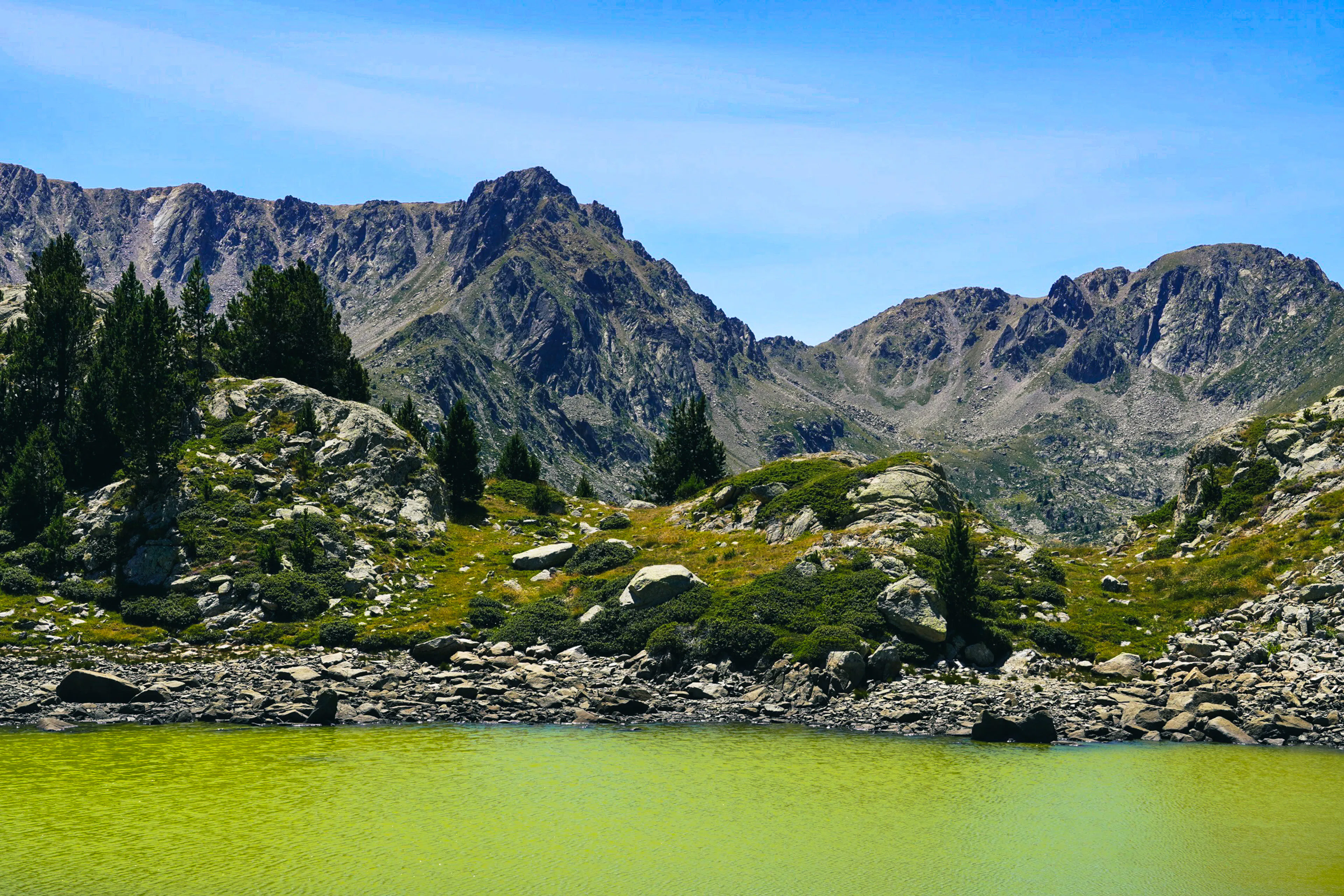
Coronallacs is a circular trail that begins in the heart of Andorra and loops around the entire country. The route is surrounded by numerous mountain peaks reaching nearly 3000 meters, with mountain passes climbing as high as 2800 meters. Coronallacs, or "The Crown of Lakes," takes you through some of the most stunning mountain lakes in the Pyrenees.
The trail is connected by four staffed mountain huts, providing comfortable places to sleep and eat each day. While the hike isn’t technically challenging, it is physically demanding. On average, you’ll cover over 18 km and ascend 1300 meters each day.
If you prefer a slower pace, you can opt to stay in one of the eight unmanned huts along the route, though you'll need to bring your own sleeping bag. Wild camping is restricted, but bivouacking is permitted from sunset to sunrise above 2200 meters of elevation.
Demanding hike connecting beautiful lakes in the Pyrenees.
- LocationAndorra
- Hard
- Distance92km
- Stages5 days
- Elevation Gain 6500m
- Elevation Loss 6500m
Highlights of the route
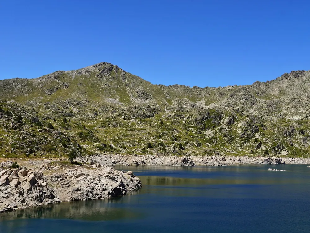
"The Crown of Lakes"
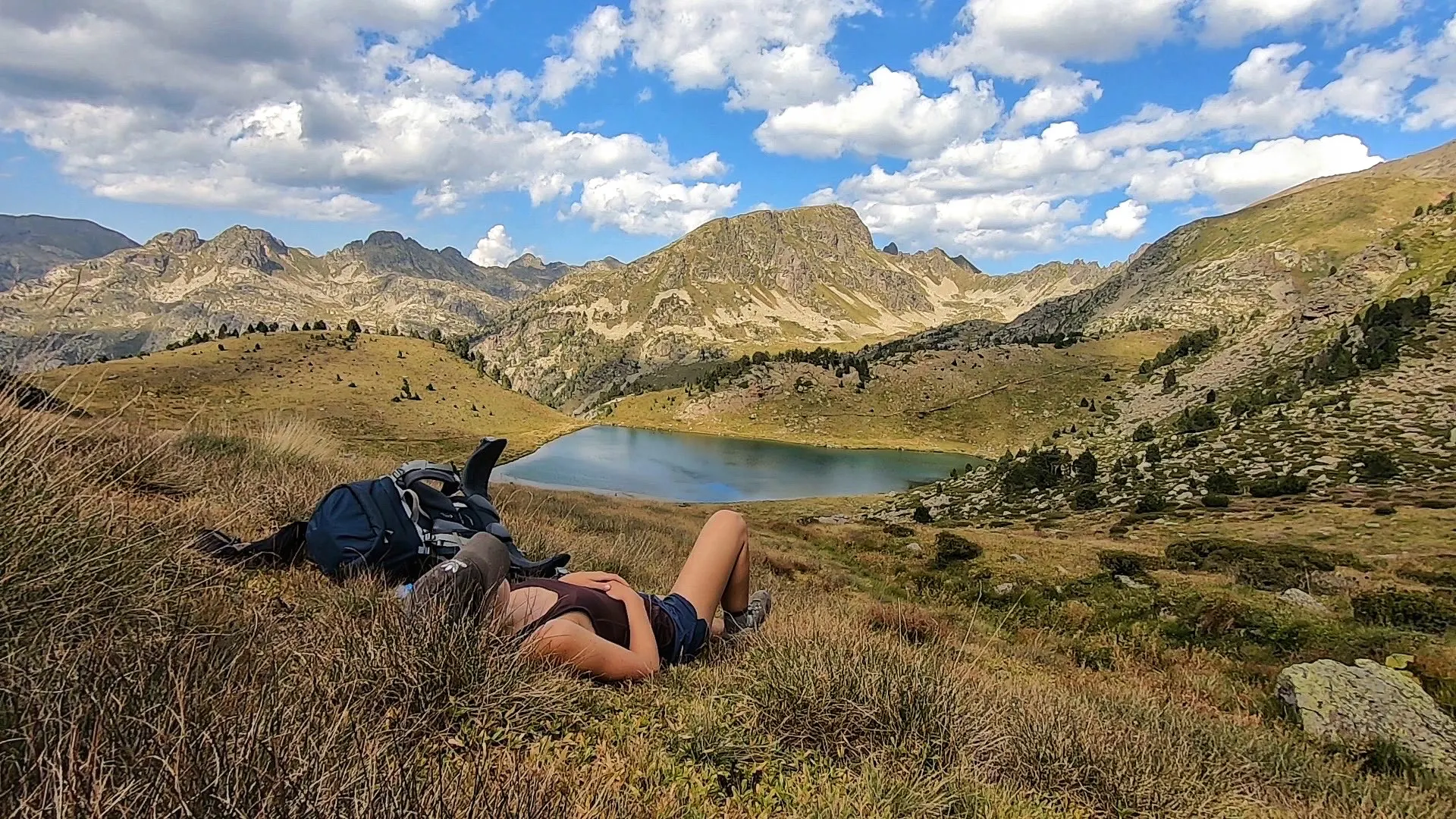
The name Coronallacs literally means "Crown of Lakes." The route passes numerous glacial lakes, including stunning Circ de Pessons, Juclà, Cabana Sorda and Illa.
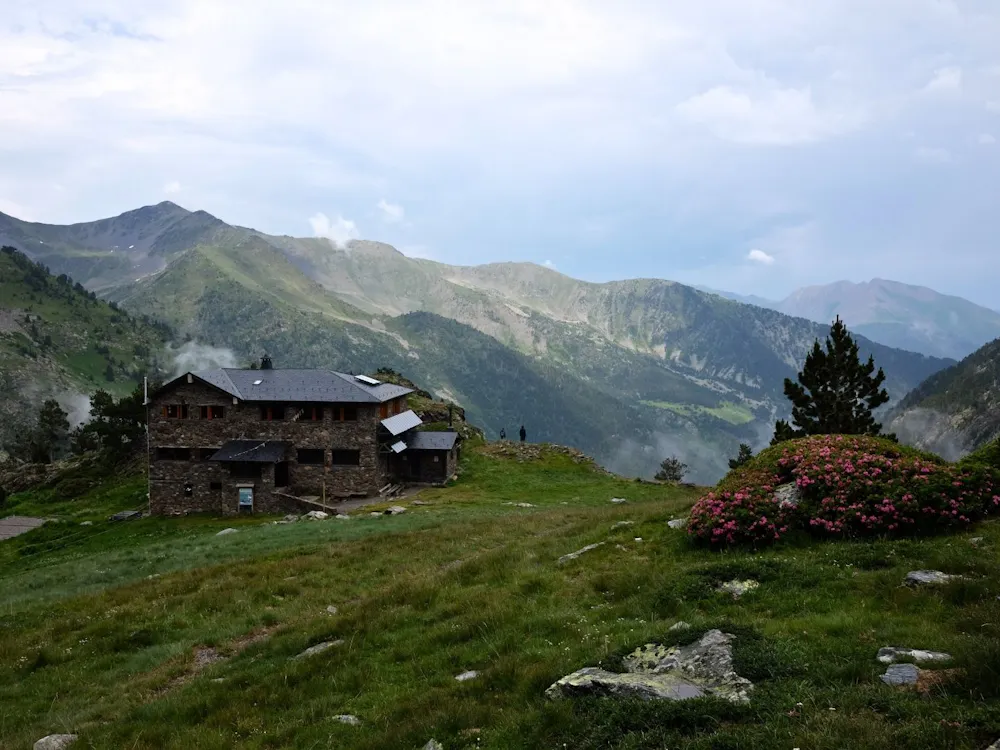
High Mountain Refuges
Four staffed mountain refuges are located along the route, offering comfortable accommodation and meals in stunning Pyrenean settings.
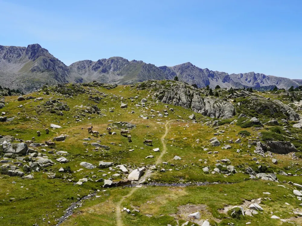
Hiking Around a Country
The route circles the entire country of Andorra, passing close to the borders of both France and Spain. A trail that loops around one of Europe's smallest countries makes for a unique adventure.
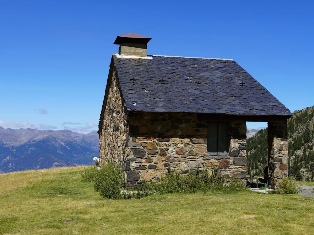
Free Refuges
Simple free refuges are scattered throughout the mountains, providing basic shelter for hikers along the route. Open to anyone and free to use, they offer a unique way to experience the trek and can even be used to complete the entire circuit.


The Elevation Profile
Total Distance
-km
Elevation Gain
m
Elevation Loss
m
Max Elevation
m
Min Elevation
m
- Stage
- Point of interest
The route map
Discover our Hike Planner
Create your perfect itinerary with our Hike Planner
Plan your long-distance hike stage by stage, with trail data verified by us on every route. All in one place.
- Curated hike data with official routes, variants, and more
- Design your hike stage by stage
- Find huts with real-time availability
- Download GPX files for your favorite navigation app
- Generate a printable PDF for your hike
Frequently asked questions
How to get there
The closest airport is in Barcelona. You can catch Andorra Direct bus straight from the airport or from Sants train station in Barcelona. The travel time is 3 hours and it takes you directly to Andorra la Vella.
Water & food
Water is accessible at all the refugios and there are many rivers along the route. Food is available on most of the refugios (at least sandwiches) and you'll pass through a few restaurants. The only proper supermarket you can find in Envalira.
Accommodation
The hike is designed in a way that you can sleep all four nights in a staffed refugio. However, if you want to do it in a different pace you could also sleep in various unmanned refugios. These refugios are free to use and they vary from simple 4 person huts to bigger ones with fireplace. You need to bring your own sleeping bag and a sleeping mat.
Wild camping
You could do vivac if the refugios are full and if you are over 2200 meters of elevation.
When to go
In general from June to late September is good time for hiking in Andorra. However, depending on the season there might be snow on the mountain passes until late June. I completed the hike in August.
Money
It's good to carry a bit of cash (euros) in case the refugios doesn't have good reception for card payments.
Limited spots
Plan your hike with us: Custom Itinerary consultation
We help you build a custom itinerary, personalise your route, and get ready for logistics, hut bookings, gear and trail tips. Plus full access to the Hike Planner for your hike.
- Custom itinerary & personalised route
- Logistics, hut booking and gear tips
- Hike Planner access for your hike