Interactive hiking guide
Tour du Mont Blanc
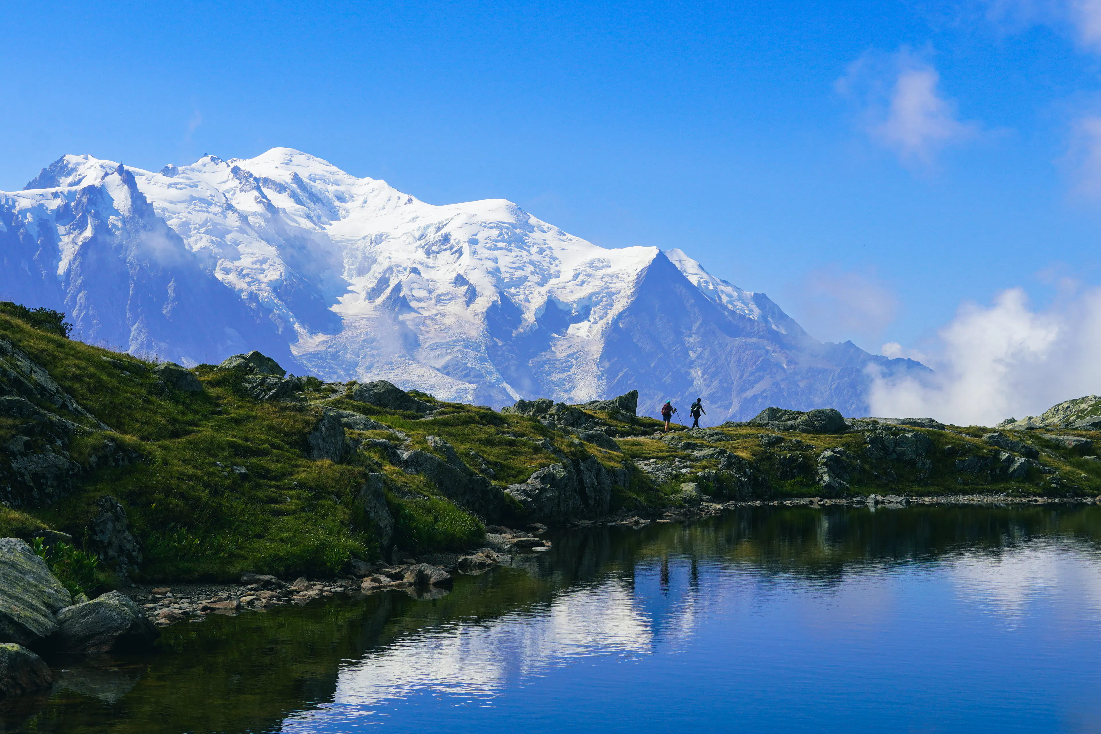
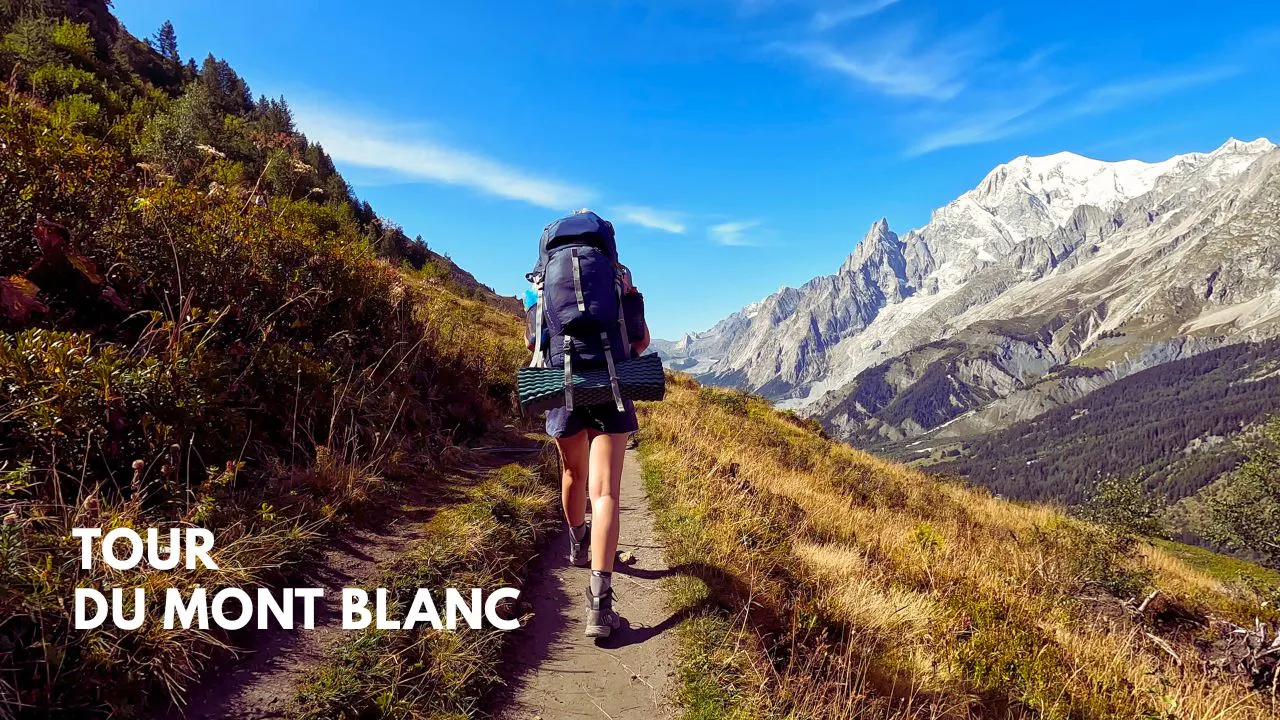
The Tour du Mont Blanc (TMB) is one of Europe’s most iconic long-distance hikes, circling the majestic Mont Blanc massif through France, Italy and Switzerland. Typically completed in 7 to 11 days, the route traverses high mountain passes, lush valleys and picturesque alpine villages. The hike can be done both clockwise and anti-clockwise direction. This guide provides a detailed TMB route map, showing a 9-day hiking itinerary in a counterclockwise direction, perfect for planning your adventure through the Alps.
The hike doesn't require technical skills but you need to be physically prepared to tackle those 164km with a daily elevation gain of more than 1000 meters. Since it's a circular route you could start from any country but the most common starting point is Les Houches in France.
The trail is very diverse, not only in its scenery but also in its culture. Along the way, you'll see a blend of French, Italian, and Swiss influences in everything from architecture to cuisine. Along the route you can find rustic mountain huts high up in the mountains and comfortable hotels down in the valleys. Camping is also possible but wild camping is highly restricted.
Three countries - one emblematic peak.
- LocationFrance, Italy, Switzerland
- Hard
- Distance164km
- Stages9 days
- Elevation Gain 10200m
- Elevation Loss 10200m


The Elevation Profile
Total Distance
-km
Elevation Gain
m
Elevation Loss
m
Max Elevation
m
Min Elevation
m
- Stage
- Point of interest
The route map
Create your perfect itinerary with our Hike Planner
Plan every stage of your hike with official routes, variants, and real-world trail data, all in one place.
- Curated hike data with official routes, variants, and more
- Design your hike stage by stage
- Download GPX files for your favorite navigation app
- Generate a printable PDF for your hike
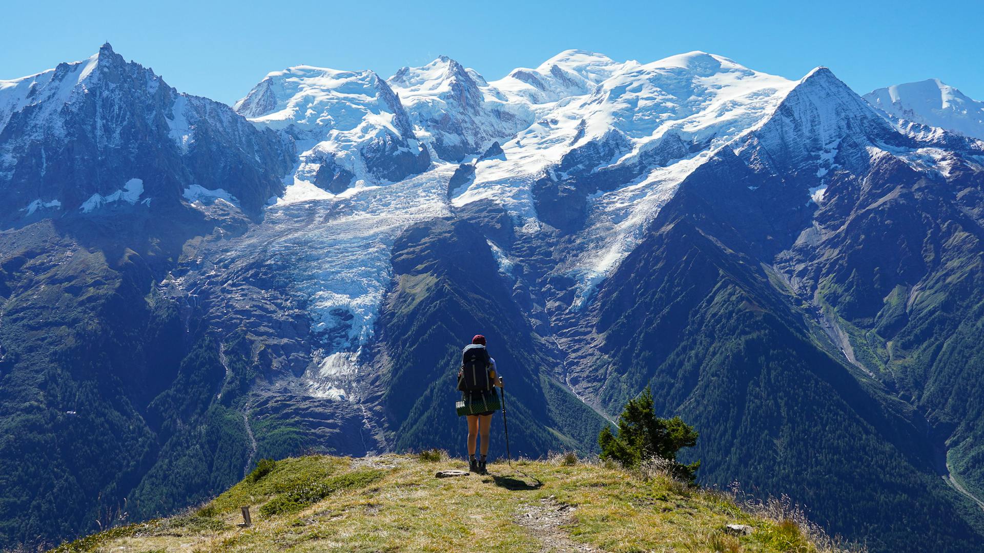
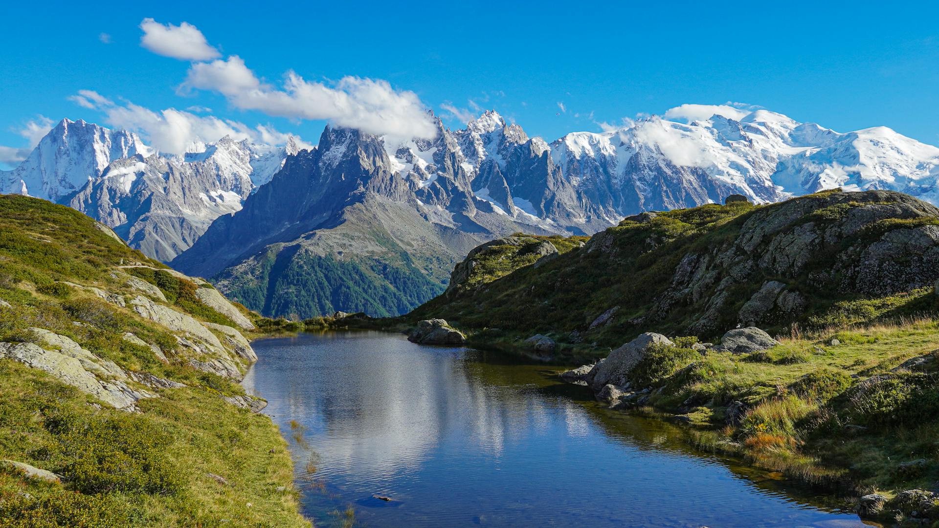
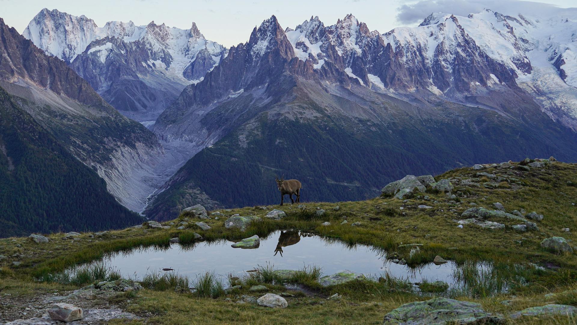
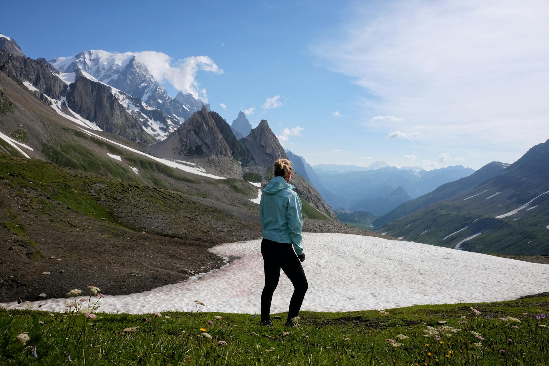
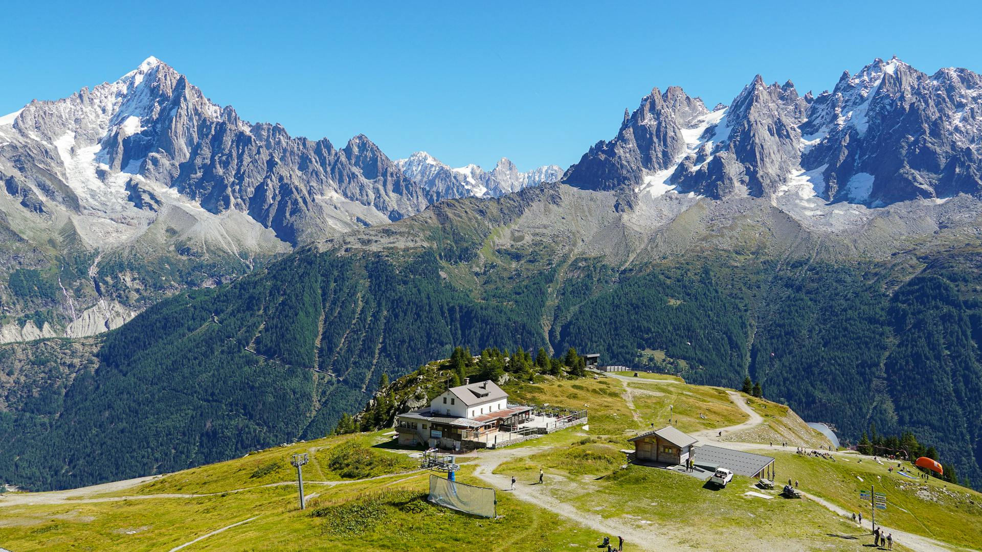
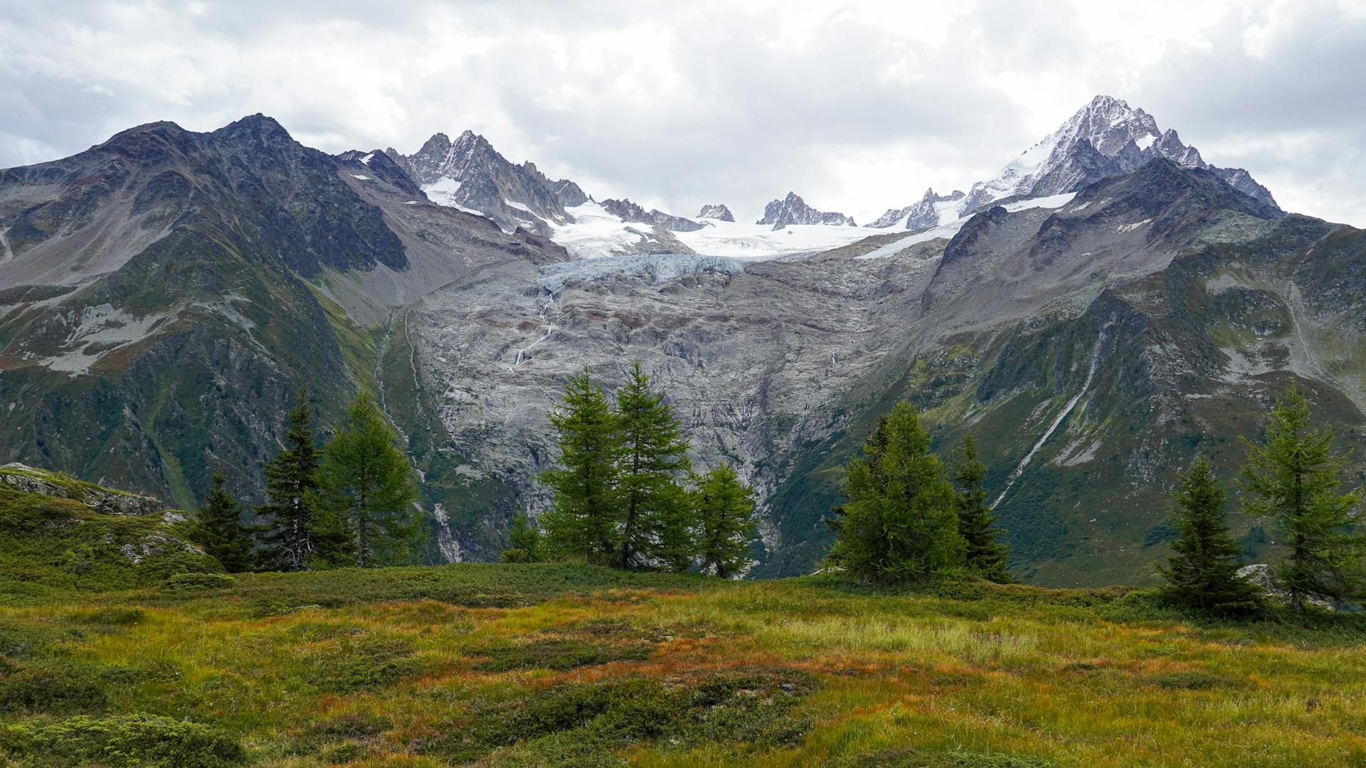
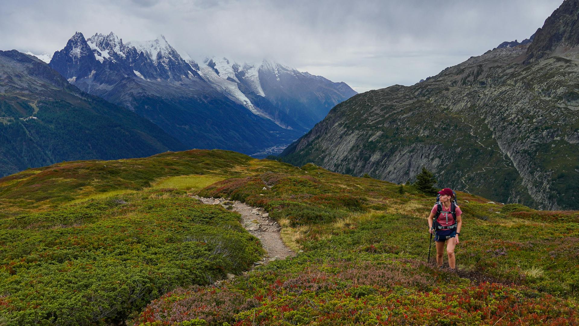
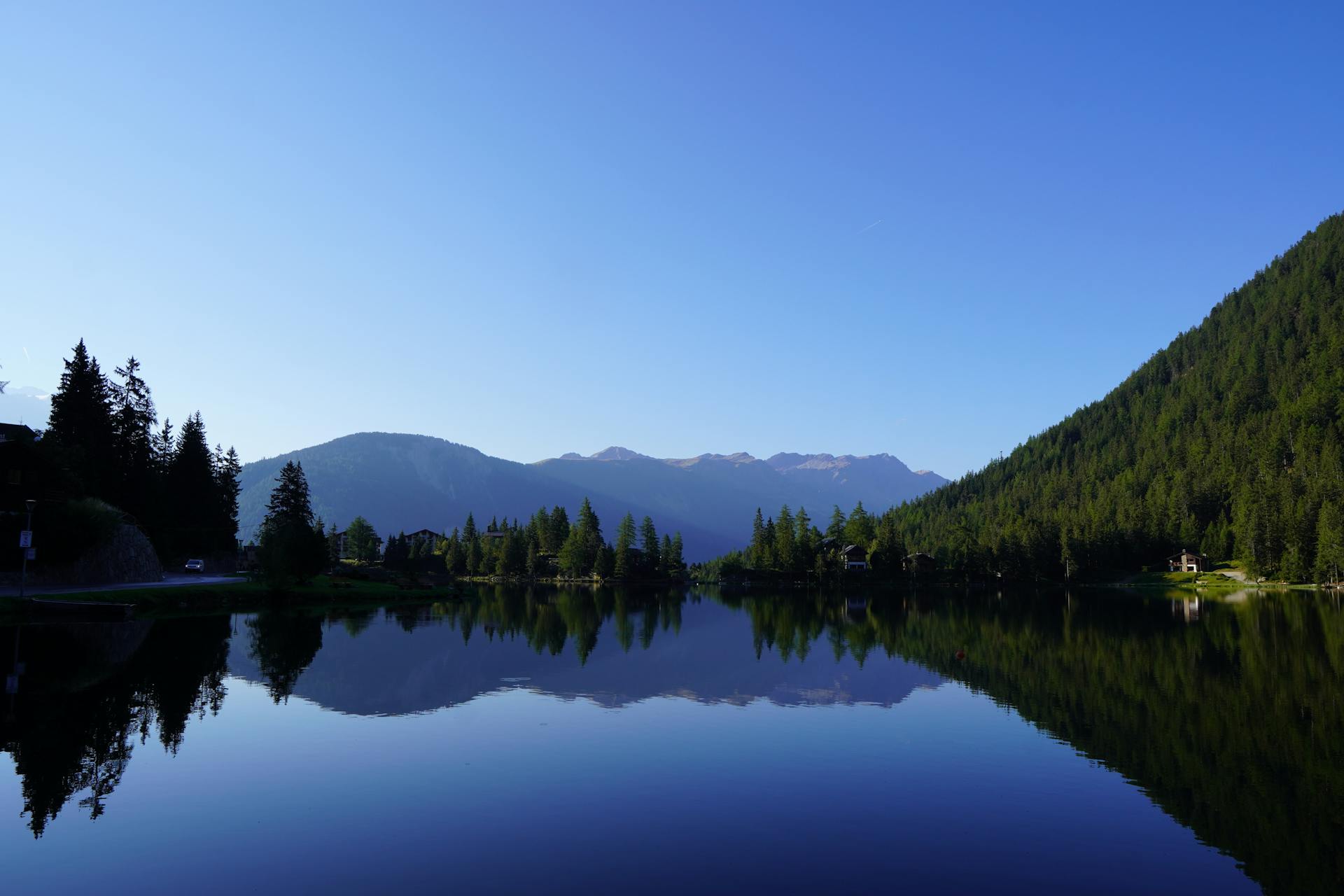
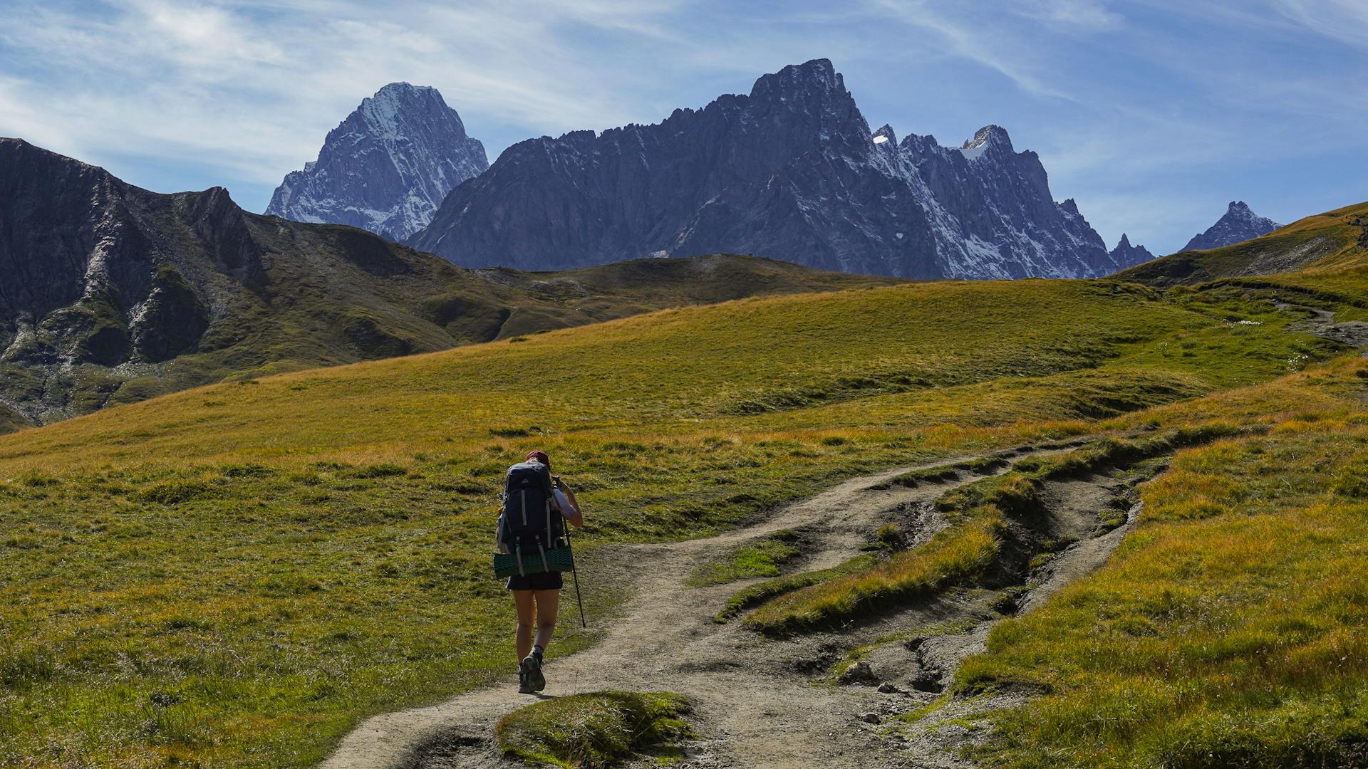
On the French side you get spectacular views to the Montblanc range. In Switzerland it is all about the charming towns and the fairytale forests. On the Italian side you will find colourful valleys and glaciers. Every turn on this hike is a reward!

Frequently asked questions
How to get there
Since it's a circular route, you could start the hike anywhere. The most common starting point is Les Houches (close to Chamonix) and it's easily accessible with public transport. The closest airport is Geneva Airport in Switzerland. From the airport you can take a shuttle bus straight to Chamonix. For example Easybus offers one way tickets starting from €17 and the travel time is 1 hour and 15min.
On the Italian side Courmayer is a good starting point and it's accessible by bus. In Switzerland Orsières is connected by train and the town is just below Champex.
Water & Food
Finding water was easy, you can refill at the refugios and in the villages you'd find water fountains. Also, you can find many rivers where you can refill if you have a filter bottle.
Food is also easy to find. Most of the refugios offer some snacks for people passing through and you can find small grocery stores in Les Contamines-Montjoie, Chapieux, Courmayer, La Fouly, Champex and Argentière. The same towns also have at least a bakery or a restaurant. The refugios offer half boards (with dinner and breakfast included) and most of them can prepare a picnic lunch to take away.
Accommodation
The route is connected with many mountain huts (refugios) and hotels. You'll pass through little towns where there are many hotel options to choose from. There are a few campsites along the way, some of them are not directly on the route so you'd need to take a variant route.
Wild camping
Wild camping is very restricted but there are some regulated bivouac areas along the way. On the French side it's tolerated to camp next to these mountain huts: Refuge de la Croix du Bonhomme, Refuge de la Flégère and Refuge Miage. Wild camping/bivouacing from sunset to sunrise is tolerated on a few special locations, but you need to get a permit here.
When to go
The summer hiking season would be from end of June to mid-September. Depending on the snowfall there might be snow in the mountain passes still in early July. I've done the hike twice: once in mid-July and second time early September.
Money
Most refugios accept cards but you can't always rely on the reception so you should carry cash. Euros for France and Italy and Swiss francs for Switzerland.
Expert hiking itineraries & personalized trip planning services
We offer crafted hiking itineraries in PDF format with all the information for your trip, GPS files for each individual stage, and the complete route, plus marked points of interest to help you navigate.
