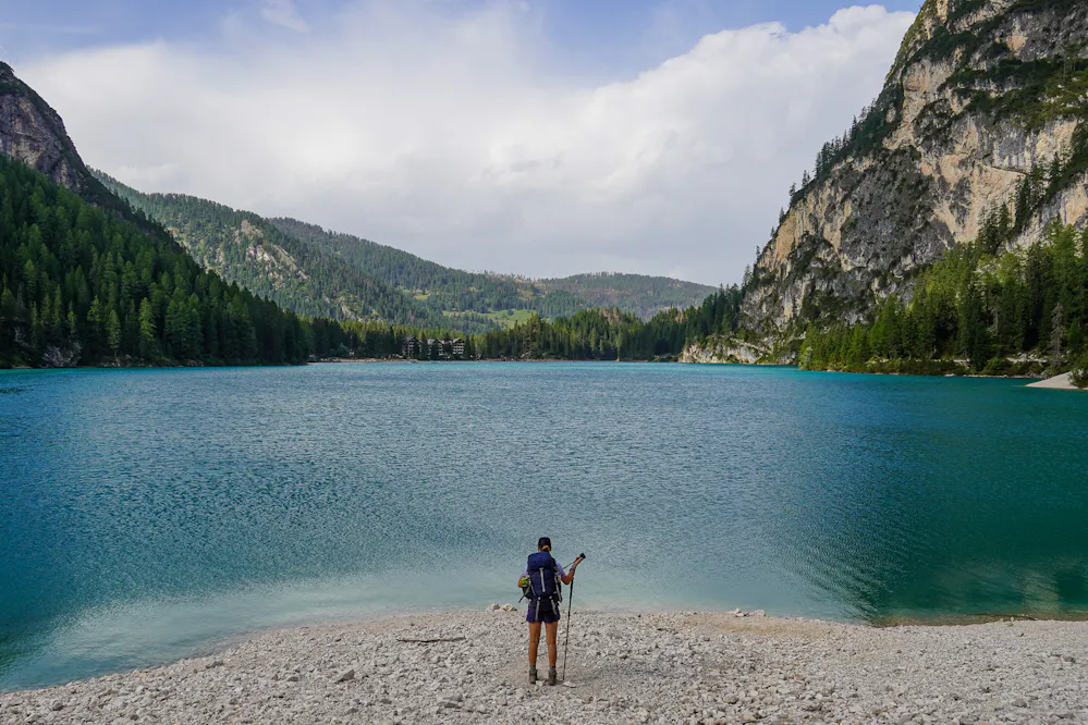
There's a particular kind of excitement that comes in the days before a big hike: the obsessive checking of forecasts, the late-night rabbit holes into what wildflowers might be blooming at altitude, the quiet wondering about what creatures share the trails you're about to walk. We've always wanted the planning experience to feel as rich and immersive as the adventure itself. Today, we're taking a big step in that direction.
We're introducing two new map view modes to our Hike Planner: Weather and Fauna & Flora. They sit alongside your existing stage planning view, and they genuinely change what it feels like to explore a route before you set foot on it.


From valley mornings to high-pass storms
Weather in the mountains is humbling. Anyone who's been caught in an unexpected afternoon storm on an exposed ridge knows the lesson well, and usually only needs to learn it once. The new Weather view brings real forecast data directly into your route map, showing temperature, precipitation, and wind conditions at the points that matter most: towns, valleys, highest points and mountain passes.
A mild morning in a sheltered village, coffee on a terrace, a light jacket, birdsong, can give way to biting wind and freezing temperatures by the time you crest a col at 2,500 metres. That same afternoon, you'll descend back into warmth. This constant swing between extremes isn't just dramatic; it demands preparation at both ends of the range. The gear you pack, the layers you carry, the timing of your ascent, all of it depends on understanding not just what the weather will be, but where along your route it will be that way.
This feature gives you a clean weather summary for your hike as a whole, including sunrise and sunset times and total daylight hours for your selected date, details that are easy to overlook in planning but absolutely critical on the ground when you're racing to reach a pass before the afternoon clouds roll in.
* Weather data comes from Meteostat, a trusted open-source meteorological library.
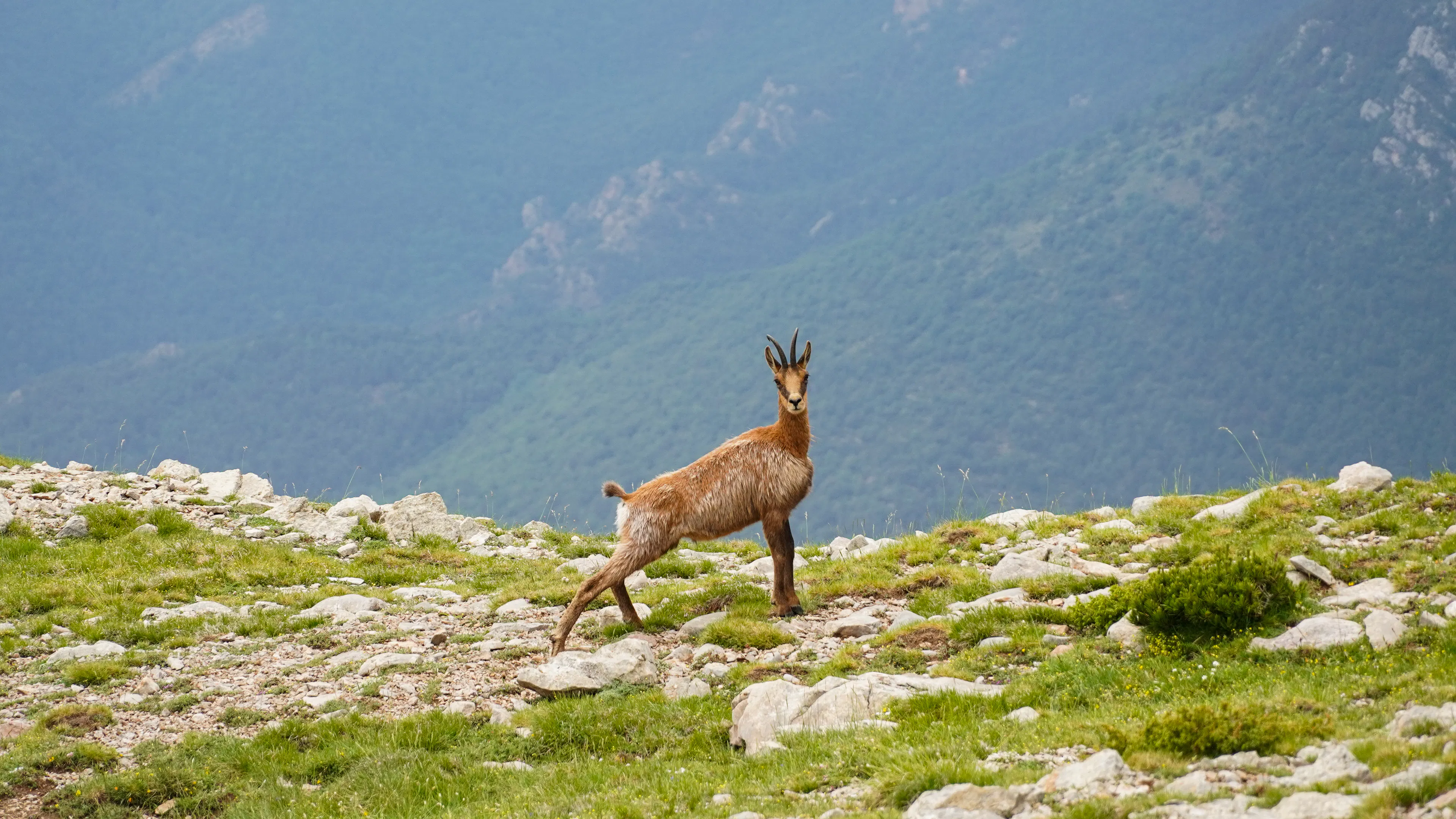
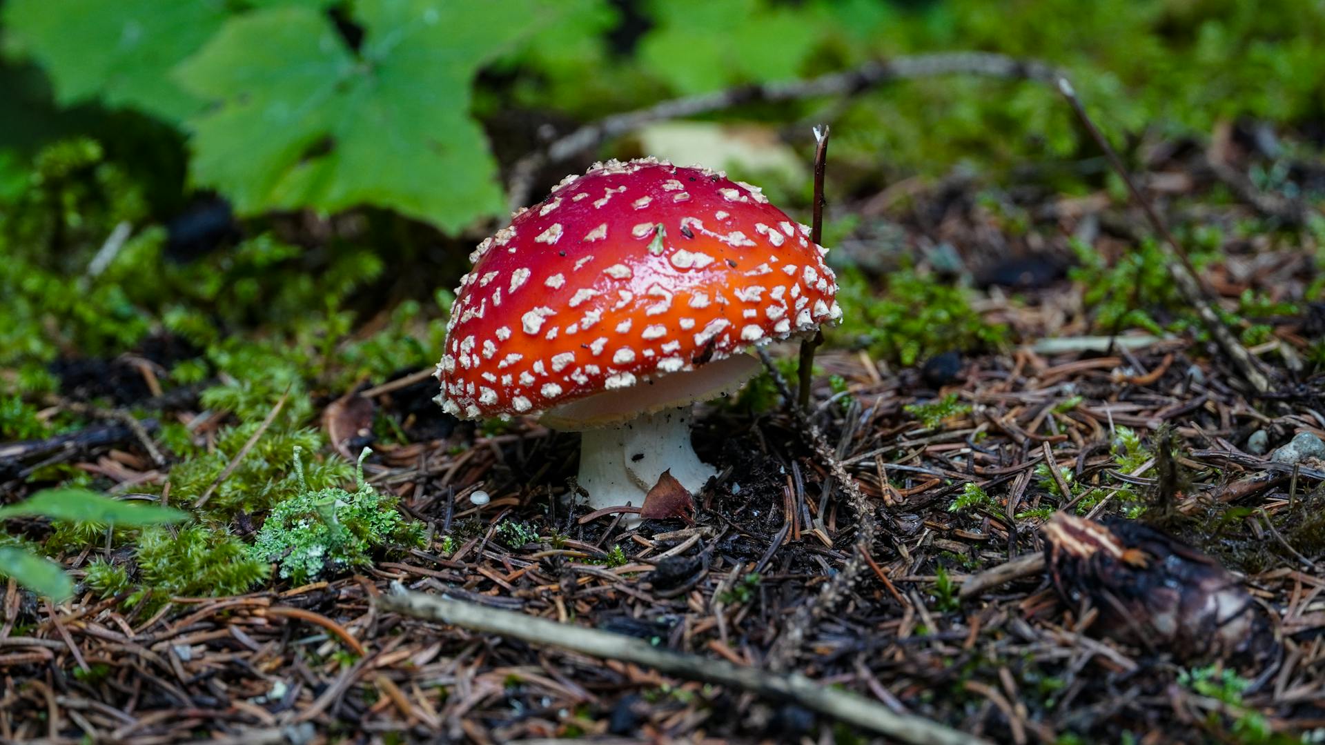
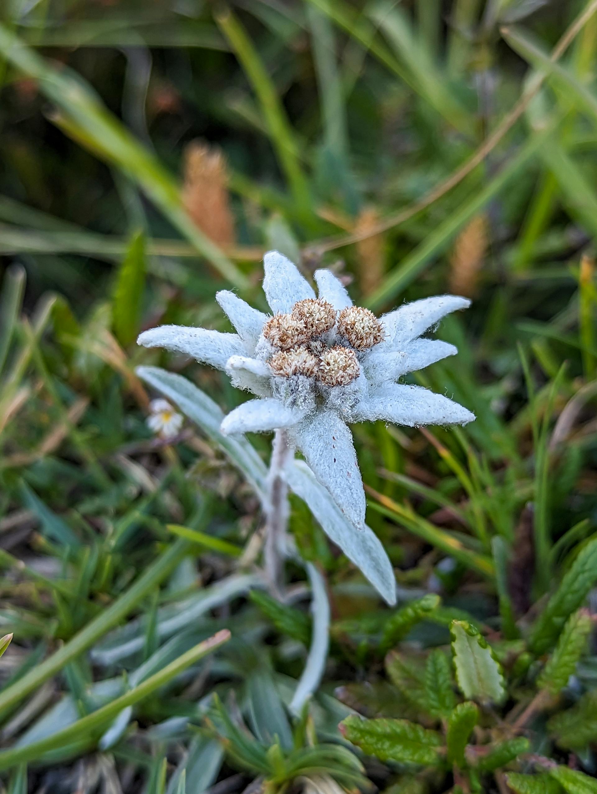
Meet the wildlife and vegetation before you arrive
Some of the most memorable moments from any hike aren't the ones you planned for, they're the ones that stop you in your tracks. A chamois frozen on a rocky ledge, watching you with that mixture of calm and wild alertness before disappearing into the slope. Eagles circling lazily at the summit, utterly indifferent to the effort it took you to reach their altitude. The pine forests hiding an astonishing gallery of mushrooms in shapes and colours you'd struggle to name. And then, above 2,000 metres, those small defiant flowers blooming in the cold thin air, a quiet kind of resilience that never gets old.
These encounters are part of what makes mountain hiking something more than exercise. They're the moments you tell people about when you get home.
The new Fauna & Flora view maps documented observations of plants and animals across your hiking area, drawing on the open iNaturalist database to show you what others have actually spotted along routes like yours, from the smallest alpine wildflowers to the largest mammals roaming the high country. It transforms route planning into something closer to a natural history preview, letting you arrive already curious, already looking, already knowing what might be out there waiting.
Whether you're a committed naturalist with a field journal or simply someone who wants to know which valleys are most likely to reward a patient eye, this feature will earn a permanent place in your pre-hike ritual.
We're genuinely excited about where these features point, and they reflect something we think about a lot: we don't want to be just another tool for logistics. Knowing how many kilometers lie ahead or where to sleep is only part of the story. The mountains, forests, and valleys you walk through are living, breathing places with histories and ecosystems that deserve to be understood and appreciated. Our goal is to be the companion that helps you not only plan your next adventure, but discover and learn from the remarkable world you're stepping into, long before your boots ever hit the trail.
Happy exploring.
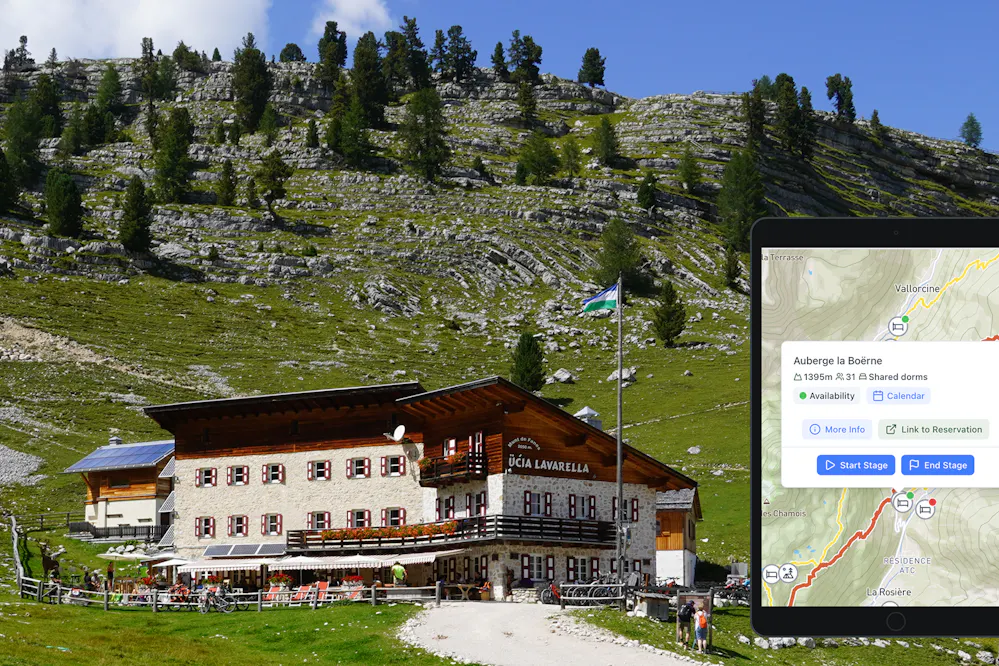
Create your perfect itinerary with our Hike Planner
Plan every stage of your hike with official routes, variants, and real-world trail data, all in one place.
- Curated hike data with official routes, variants, and more
- Design your hike stage by stage
- Find huts with real-time availability
- Download GPX files for your favorite navigation app
- Generate a printable PDF for your hike