Hiking guides
Our interactive guides for the hikes we've conquered ourselves.

Julian Alps
Another side of the Alps waiting to be discovered.
- LocationSlovenia
- Difficulty
- Distance72km
- Stages4
- Elevation Gain 3580m
- Elevation Loss 3580m

Kungsleden
Arctic landscapes, remote valleys, and Sweden’s highest peak
- LocationSweden
- Difficulty
- Distance150km
- Stages9
- Elevation Gain 4650m
- Elevation Loss 4760m
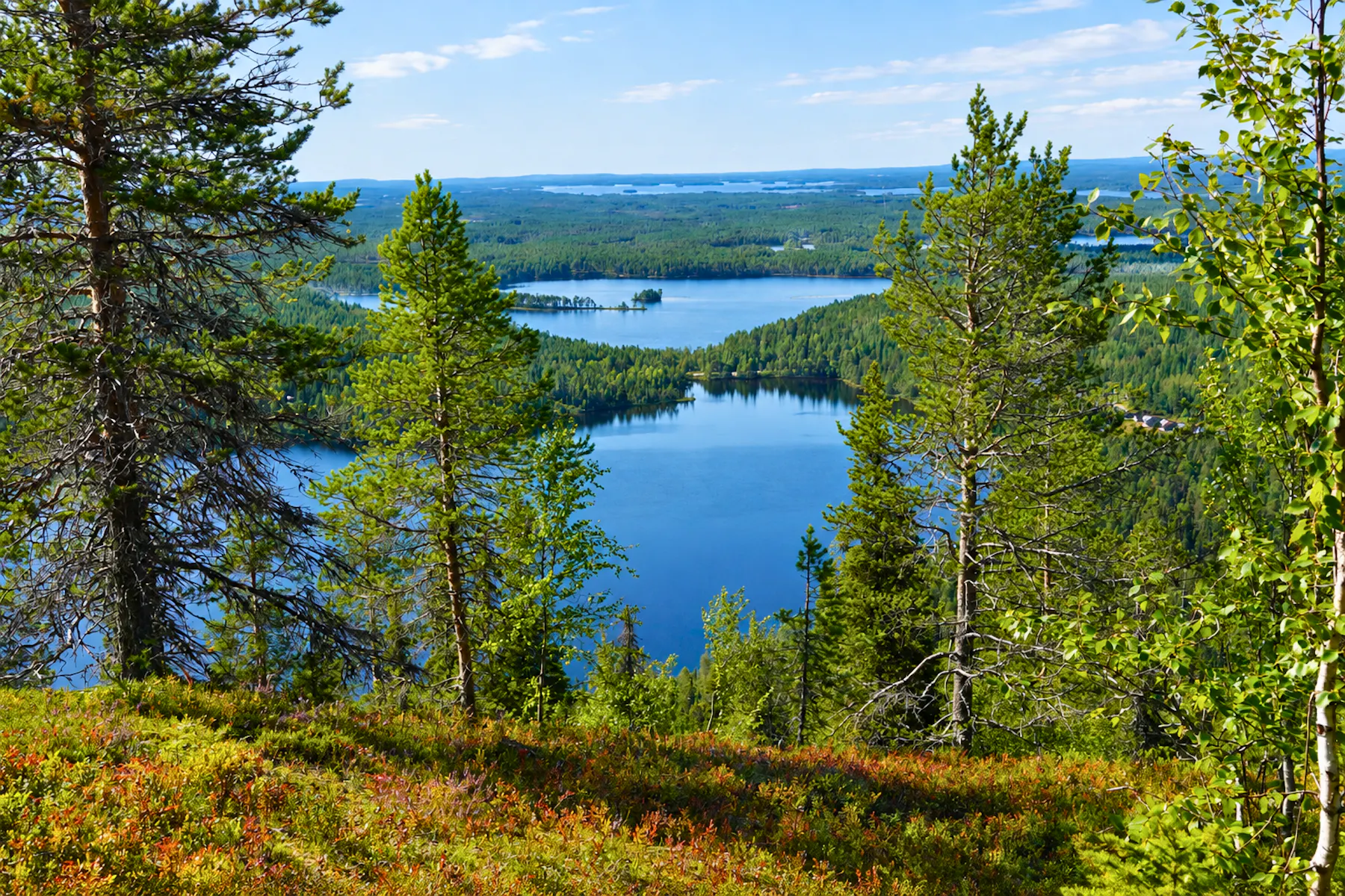
Iso Karhunkierros
"The Bear Trail" - Where forests, rivers, and reindeer meet
- LocationFinland
- Difficulty
- Distance85km
- Stages5
- Elevation Gain 2000m
- Elevation Loss 2100m

La Palma
Circle the island, cross the volcanoes.
- LocationCanary Islands, Spain
- Difficulty
- Distance154km
- Stages6 days
- Elevation Gain 8280m
- Elevation Loss 8280m

Tour du Mont Blanc
Three countries - one emblematic peak.
- LocationFrance, Italy, Switzerland
- Difficulty
- Distance164km
- Stages9 days
- Elevation Gain 10200m
- Elevation Loss 10200m

Laugavegur & Fimmvörðuháls
A hike of ice and fire - through glaciers and volcanoes
- LocationIceland
- Difficulty
- Distance83km
- Stages4 days
- Elevation Gain 3500m
- Elevation Loss 3000m

Alta Via 1 - Dolomites
Explore the Dolomites without the technicality of via ferratas
- LocationItaly
- Difficulty
- Distance115km
- Stages7 days
- Elevation Gain 8200m
- Elevation Loss 7200m

Walker's Haute Route
A scenic hike through the Alps from Chamonix to Zermatt
- LocationFrance, Switzerland
- Difficulty
- Distance219km
- Stages11 days
- Elevation Gain 16400m
- Elevation Loss 15800m

Coronallacs
Demanding hike connecting beautiful lakes in the Pyrenees.
- LocationAndorra
- Difficulty
- Distance92km
- Stages5 days
- Elevation Gain 6500m
- Elevation Loss 6500m

Anillo de Picos de Europa
A circular route crossing the three big massifs of the Picos de Europa park
- LocationSpain
- Difficulty
- Distance117km
- Stages9 days
- Elevation Gain 8600m
- Elevation Loss 8600m

Carros de Foc
Adventurous route filled with pristine lakes in the Pyrenees
- LocationSpain
- Difficulty
- Distance63km
- Stages5 days
- Elevation Gain 4600m
- Elevation Loss 4600m

Torres del Paine
Explore Patagonia on the O-Circuit Trail
- LocationChile
- Difficulty
- Distance123km
- Stages8 days
- Elevation Gain 5400m
- Elevation Loss 5400m
Discover our Hike Planner
Create your perfect itinerary with our Hike Planner
Plan your long-distance hike stage by stage, with trail data verified by us on every route. All in one place.
- Curated hike data with official routes, variants, and more
- Design your hike stage by stage
- Find huts with real-time availability
- Download GPX files for your favorite navigation app
- Generate a printable PDF for your hike
Limited spots
Plan your hike with us: Custom Itinerary consultation
We help you build a custom itinerary, personalise your route, and get ready for logistics, hut bookings, gear and trail tips. Plus full access to the Hike Planner for your hike.
- Custom itinerary & personalised route
- Logistics, hut booking and gear tips
- Hike Planner access for your hike