Most people start the Alta Via 1 at Lago di Braies, and honestly, it makes sense on paper. The lake is one of the most photographed spots in Italy, it's a dramatic entry point, and since Lago di Braies sits much higher than Belluno, starting there also means less total elevation gain over the whole route. But when we planned our trip, we ended up doing it in reverse, and we haven't stopped recommending that approach since.
This post covers where to start the Alta Via 1, how to get there, and why you might want to flip the whole thing around.
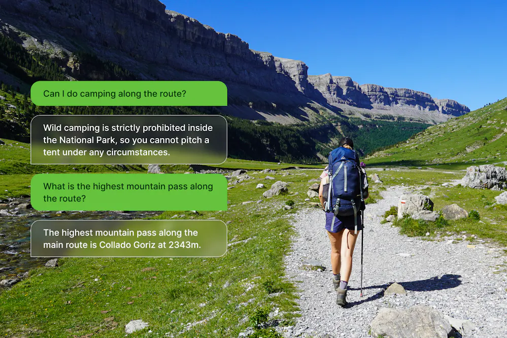
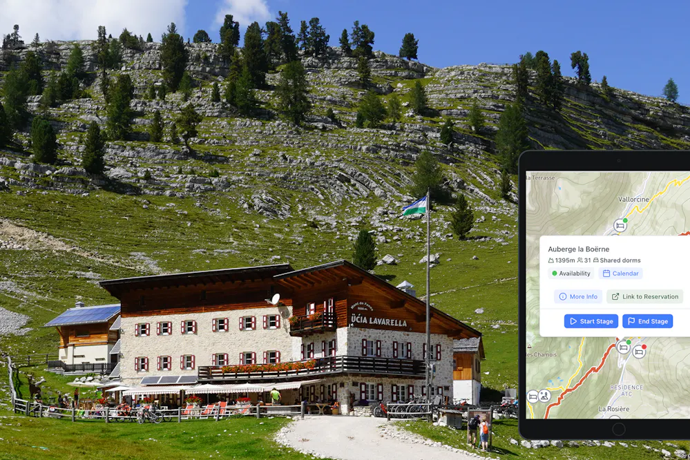
Create your perfect itinerary with our Hike Planner
Plan every stage of your hike with official routes, variants, and real-world trail data, all in one place.
- Curated hike data with official routes, variants, and more
- Design your hike stage by stage
- Find huts with real-time availability
- Download GPX files for your favorite navigation app
- Generate a printable PDF for your hike
The Classic Start: Lago di Braies
The standard start of the Alta Via 1 is Lago di Braies (also called Pragser Wildsee in German), a mountain lake at around 1,500m in South Tyrol. It's genuinely beautiful, emerald green water, limestone cliffs rising on three sides, an old wooden boathouse. You understand why it's one of the most shared places in Italy.
The problem is that everyone knows this. In high season (July and August especially), Lago di Braies is absolutely packed. We're talking tour buses, day trippers, photographers with tripods at 6am, and queues at the parking areas that start forming early in the morning. The road into the valley is closed to private cars during summer, so you'll arrive by bus or pre-booked shuttle, which is actually fine logistically, but it does mean you're joining a crowd.
To get to Lago di Braies from Venice, the Cortina Express bus goes directly from Venice airport to Dobbiaco with one change in Cortina d'Ampezzo. The total journey is about 3.5 hours. From Dobbiaco, bus 442 runs to Lago di Braies (around 30 minutes). During peak season (roughly July 10 to September 10), you need to pre-book the final bus leg at prags.bz.
From Stage 1, the trail immediately climbs about 900m to reach the high plateau, a solid opening day that wakes you up fast.

The "boring" end: La Pissa
If you do the classic north-to-south route, you finish at La Pissa bus stop, which sits on a road just above the town of Belluno. Multiple people describe it as "underwhelming." There's a reason for that: after ten days of rifugio meals, Dolomite passes, and the best mountain scenery in Italy, you step off a trail onto a roadside bus stop and wait for a bus to town. Belluno itself is a pleasant enough Italian city, but it's not exactly the triumphant finish the Dolomites seem to deserve.
Why we hiked it in reverse (South to North)
We started in Belluno and finished at Lago di Braies. Here's the honest version of why that worked better for us.
The trail was much quieter. Most hikers move north to south, which means when you go the other direction, you're going against the flow. No queues at the climbs, no crowds piling into rifugios at the same time mid-afternoon.
This is actually something we do on purpose now. On any popular long-distance trail, hiking in reverse is our default strategy. When everyone follows the same direction, they make the same stops, climb the same passes at the same time, and arrive at the same huts for lunch. Go the other way and you're constantly moving against that current, you have the climbs to yourself, you reach the viewpoints when others are already descending, and the rifugios feel calm when you get there.
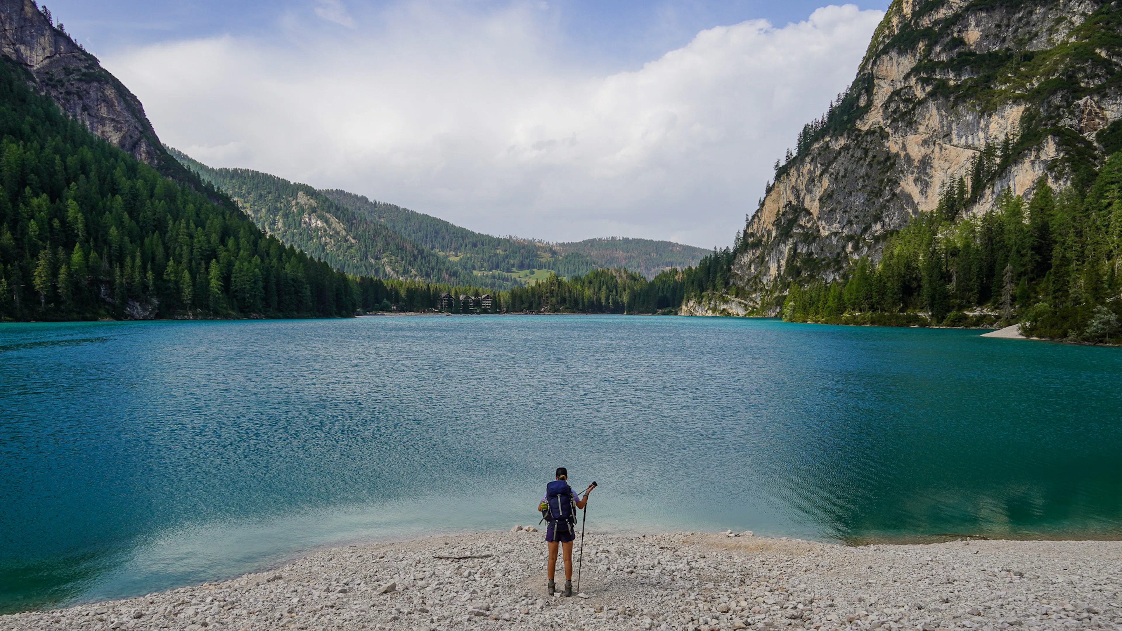
You finish at the lake. After seven to ten days in the mountains, arriving at Lago di Braies from above, watching the lake come into view as you descend, is genuinely one of the best moments of the whole route. You've earned it by then. Finishing at a bus stop is functional. Finishing at one of the most beautiful lakes in the Alps is something else.
Rifugio bookings can be easier. Since almost everyone books in the same direction, going in reverse can open up availability, especially in the northern sections which tend to fill up first. This isn't guaranteed, but it's worth keeping in mind if you're struggling to put together a full itinerary.


The one real downside: more elevation gain
Lago di Braies sits at about 1,496m. Belluno is at roughly 389m. When you hike north to south (classic direction), you start high and the overall elevation loss is greater than the gain. When you reverse it, you start low and have to earn every meter upward. On our trip, we recorded about 8,200m of elevation gain going south to north — compared to roughly 7,200m the classic way. That extra ~1,000m is real and mainly comes from the fact that your finishing point is around 1,100m higher than your starting point.
From La Pissa you immediately start gaining a lot of elevation, though it's not as hard as the numbers might suggest. The trail starts steep, but shortly joins a 4x4 track that takes you all the way to the first rifugio. It's a long ascent on gravel road, but a straightforward one. You're gaining altitude without anything technical underfoot.
Getting to Belluno (reverse direction start)
Starting from Belluno is actually simpler than starting from Lago di Braies. Belluno is a proper town with a train station, and it's connected directly to Venice by train, about 2 hours. We flew into Venice, took the train to Belluno, slept there, and the next morning caught a 20-minute bus to La Pissa where the trail starts. Much less multi-stage bus juggling than the Lago di Braies approach, and you get to start fresh after a good night's sleep in town.
Whether you go classic or in reverse, the Alta Via 1 is worth every meter. If you're in the early stages of planning, our Hike Planner can help you map out your stages, find rifugios, and check transport options from either end of the route. And if want to read more about the hike, our interactive guide for Alta Via 1 goes into more detail on every stage.