Discover our Hike Planner
Design your perfect long-distance hiking itinerary
Plan your long-distance hike stage by stage. Find mountain huts with real-time availability, export GPX files, and generate a PDF guidebook.
Free to join · Unlock hikes from 19€
Planning a long-distance hike is harder than it should be
Take a Hike brings everything into one place.
Official routes, variants, hut availability, stage planning, downloadable GPX/PDF files. So you can stop juggling spreadsheets and start planning with confidence.
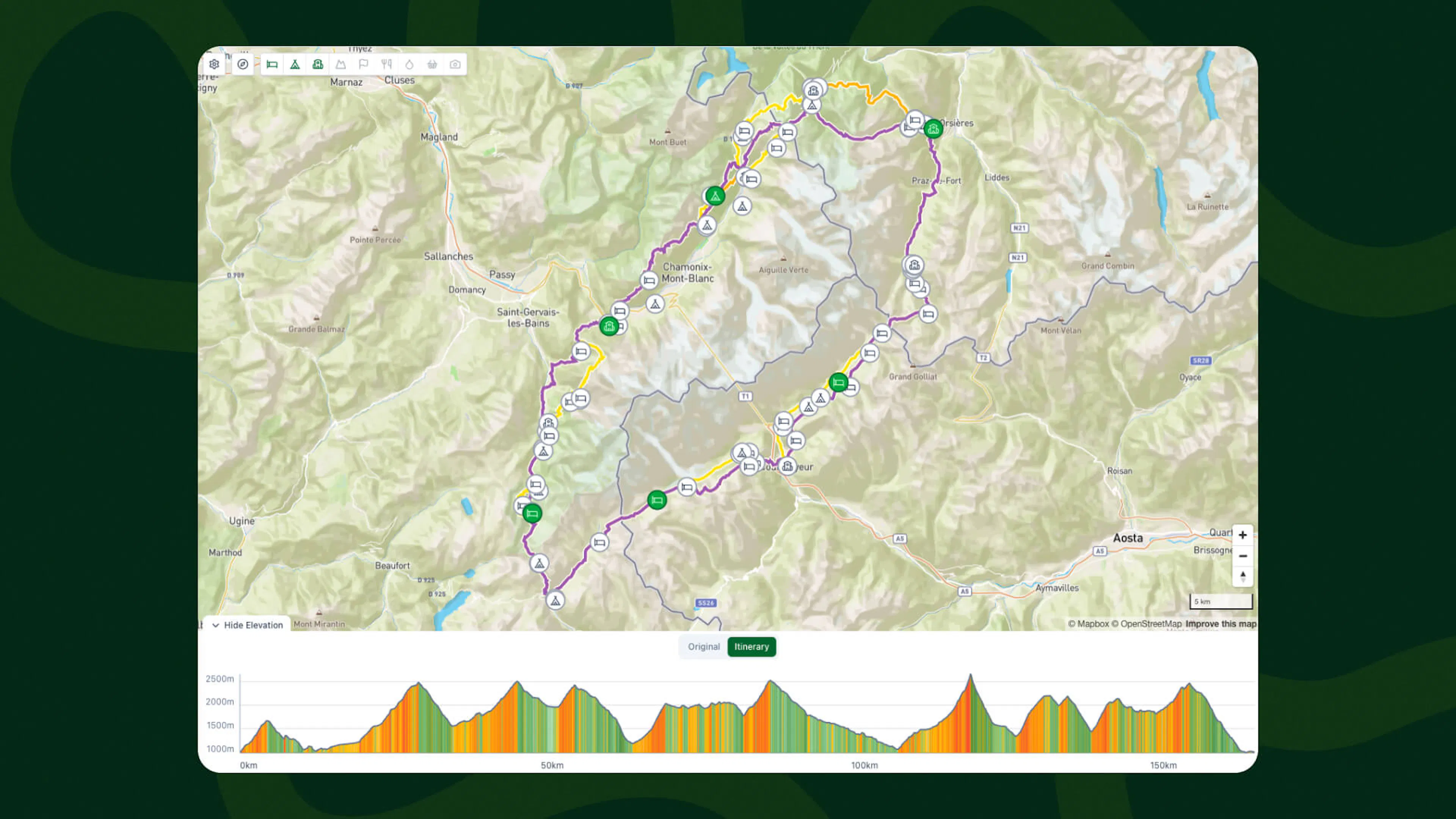
Create custom itineraries
Design your hike stage by stage. Choose which variants to take, select accommodations or campsites, adjust stage length and direction, and add personal notes for each day.
- Choose where to start and end your stage
- View and select variants for each stage
- See the data for each stage such as distance, elevation and more
- Add personal notes for each day
Plan clockwise, anti-clockwise, your way.
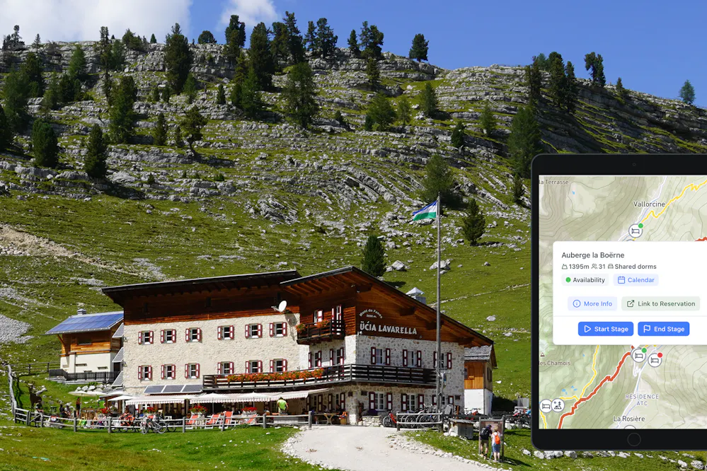
Find huts with real-time availability
Easily find your accommodations: every mountain hut, campsite, and legal bivouac spot are mapped along the route, with all the details you need to plan and book.
- Real time availability and reservation links for mountain huts
- Receive email notifications when huts change availability
- Campsites and legal bivouac spots
- Facility details like hot showers, bed count, private rooms
- Generate a list with your selected accommodations
- Manage the booking status for each stage
No more scrambling to find hut phone numbers at the last minute
Navigate smart
Get clean GPS track for your itinerary and use with your favorite navigation app.
- GPX for the full route
- GPX per stage
- Waypoints for key locations
Compatible with navigation apps.
Why you are going to love it
A dedicated tool built for long-distance hikes, built by hikers.
Start planning your next adventure
Create your account and get access to our hike planner tool. Free to join. Unlock hikes inside the app.
Get startedThe best long-distance hikes, all in one place
All hikes come with official routes, variants, mountain huts, campsites, and everything you need to plan your next adventure. Curated by hikers, for hikers.
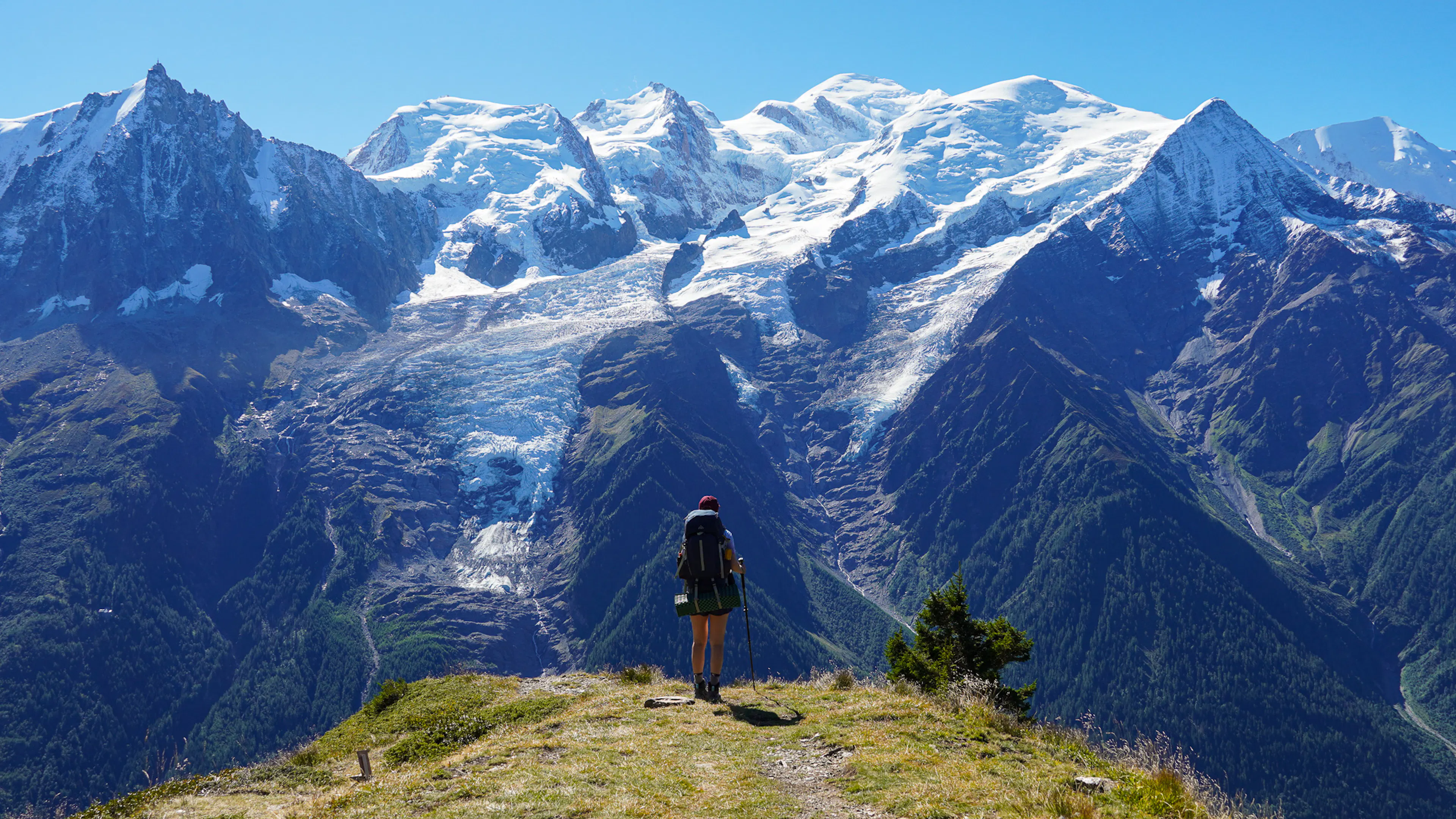
Tour du Mont Blanc
France, Italy, Switzerland
Price
49€
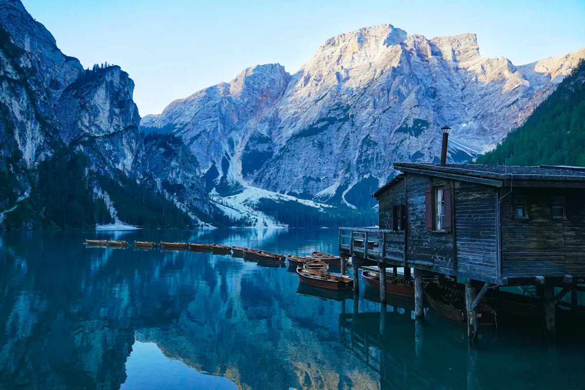
Alta Via 1 - Dolomites
Italy
Price
39€
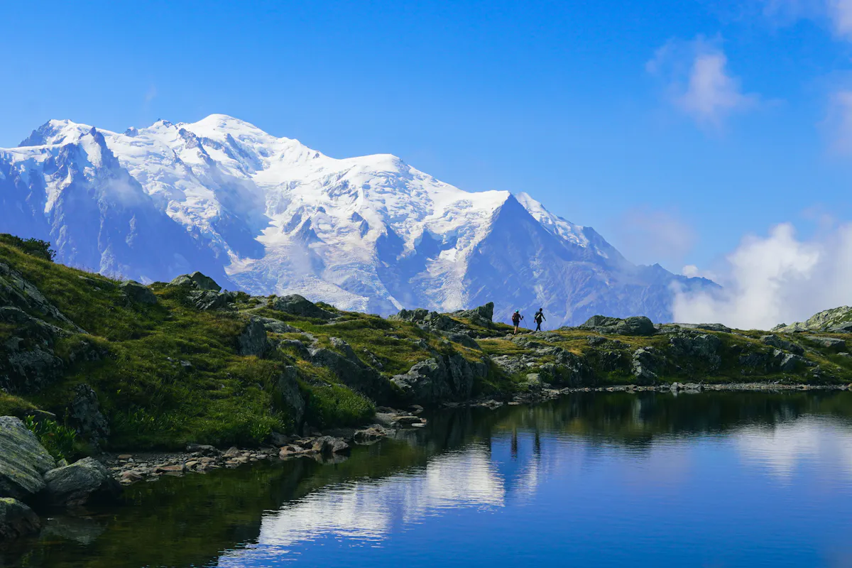
Walker's Haute Route
France, Switzerland
Price
49€
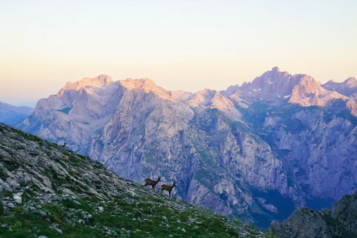
Anillo de Picos de Europa
Spain
Price
35€
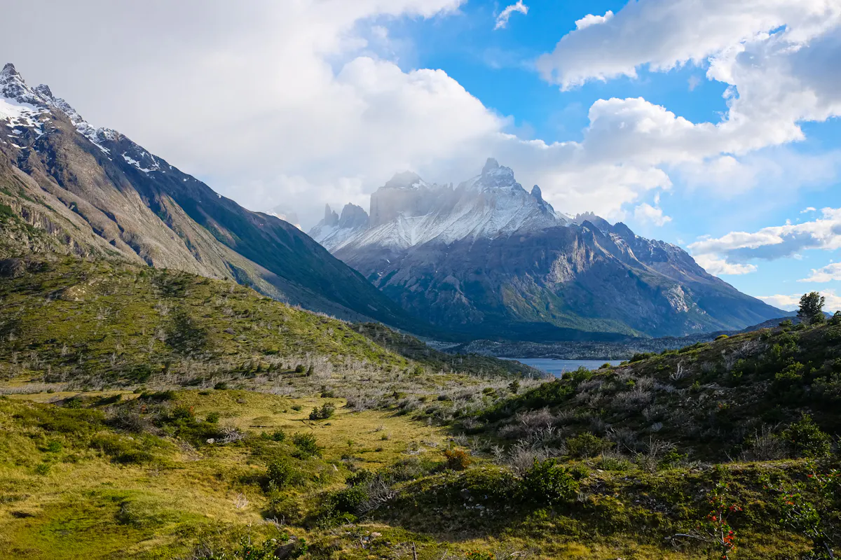
Torres del Paine
Chile
Price
19€
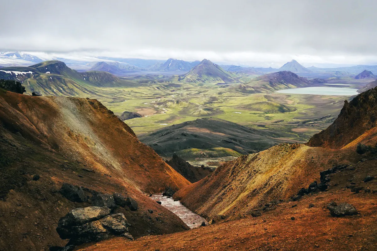
Laugavegur & Fimmvörðuháls
Iceland
Price
19€
Carros de Foc
Spain
Price
25€
Coronallacs
Andorra
Price
19€
Create your account and unlock the hikes you want.
One-time payment, unlimited access.
Watch how it works
- 1
Create your free account
Sign up and browse all available hikes in the app.
- 2
Unlock the hikes you want
One-time payment per hike. No subscriptions, no hidden fees.
- 3
Plan your itinerary
Design your stages, pick your huts, and customize your route.
- 4
Hit the trail
Export GPX files and a printable PDF guidebook. You are ready.
What people are saying
Join other hikers who are planning smart and hiking happy.
"This was very helpful while I was trying to figure out each stop. I really like that I can change the distance to miles and feet. I also love that it shows water availability, transportation, and markets along the way. This is very helpful. This is a very user friendly site!"
Joni K.
Tour du Mont Blanc
"The app is a pleasure to use. You can tell it was created by hikers because it has everything you need to plan a trek. Hike Planner saved me a lot of time and stress because it shows the availability of most mountain huts. Thanks to that, I was able to plan my trek much faster."
Lenka H.
Walker's Haute Route
"An excellent resource for organising long-distance trekking itineraries. It has simplified the process massively for me."
Daniel S.
Anillo de Picos de Europa
Still have questions?
Feel free to reach out if you have any questions about the Hike Planner. Contact us
Latest product updates
View all posts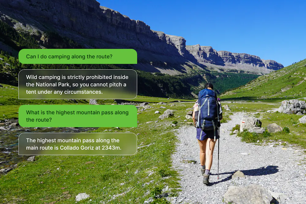
We added AI to the Hike Planner - A Trail Assistant and Guidebook descriptions for your itineraries
Published on 19/03/2026
The Take a Hike Planner now builds a guidebook from your itinerary and answers questions about your route. Here's what the two new AI features actually do.

Discover the weather, wildlife, and plants along your route with Hike Planner
Published on 23/02/2026
Check weather forecasts across key points of your route and explore the wildlife and plants you might encounter along the way. Two new map modes to help you arrive prepared, curious, and ready for the mountains.
Hike Planner update: Accommodations Real-Time Availability is here
Published on 01/02/2026
The Hike Planner now shows real-time mountain hut availability for Alta Via 1, Tour du Mont Blanc, Haute Route and Picos de Europa.
Ready to plan your next adventure?
Unlock the hikes you want and get lifetime access to all the information and resources you need to plan your next adventure.
One-time payment per hike · Instant access · No subscriptions