Interactive hiking guide
Iso Karhunkierros

The Iso Karhunkierros is a long-distance hiking trail through the forests, rivers, lakes, and rugged landscapes of northern Finland. The route combines peaceful forest paths with dramatic river gorges, rushing rapids, suspension bridges, and beautiful viewpoints. Rather than high mountain peaks, the trail offers a constantly changing landscape shaped by forests and waterways.
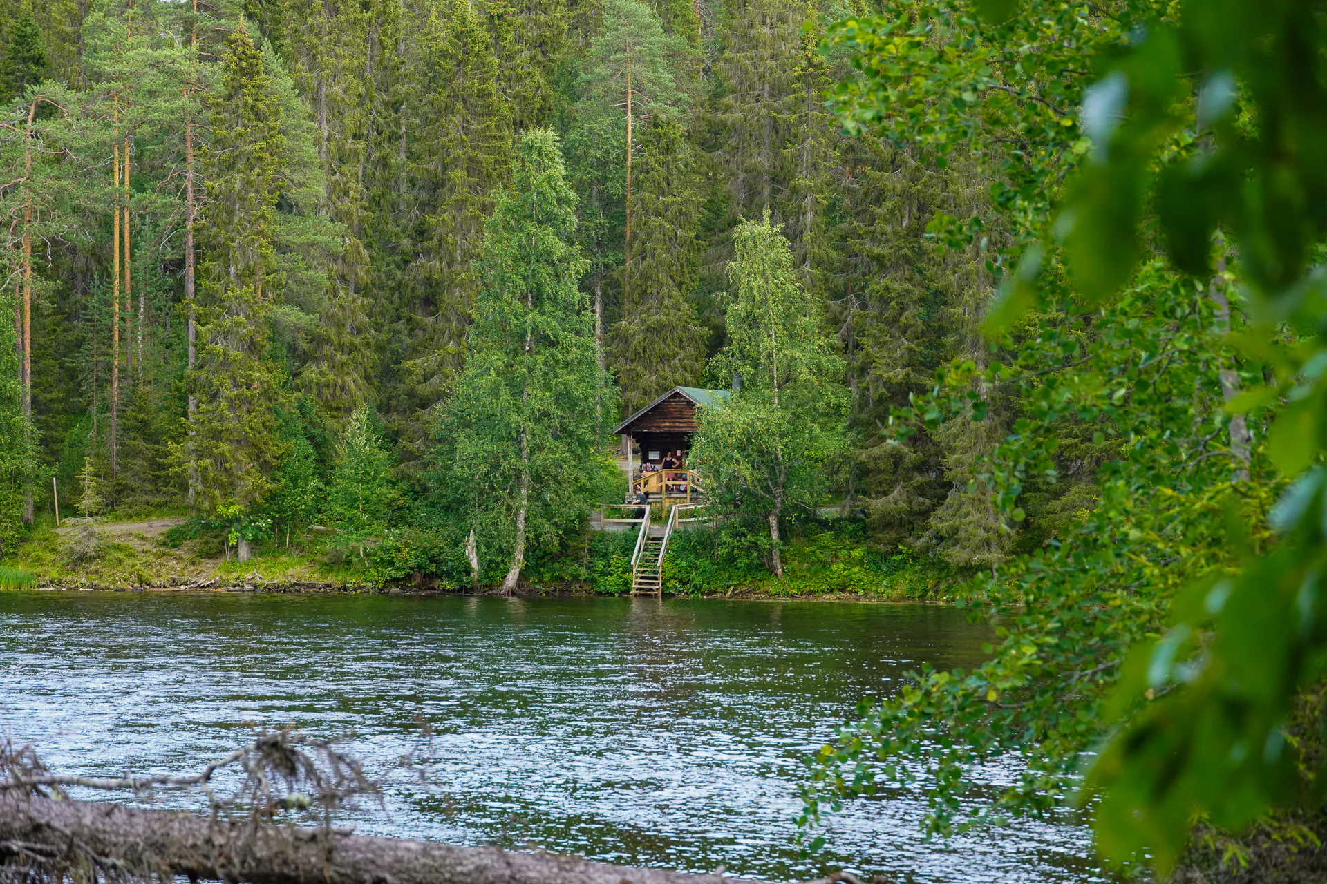
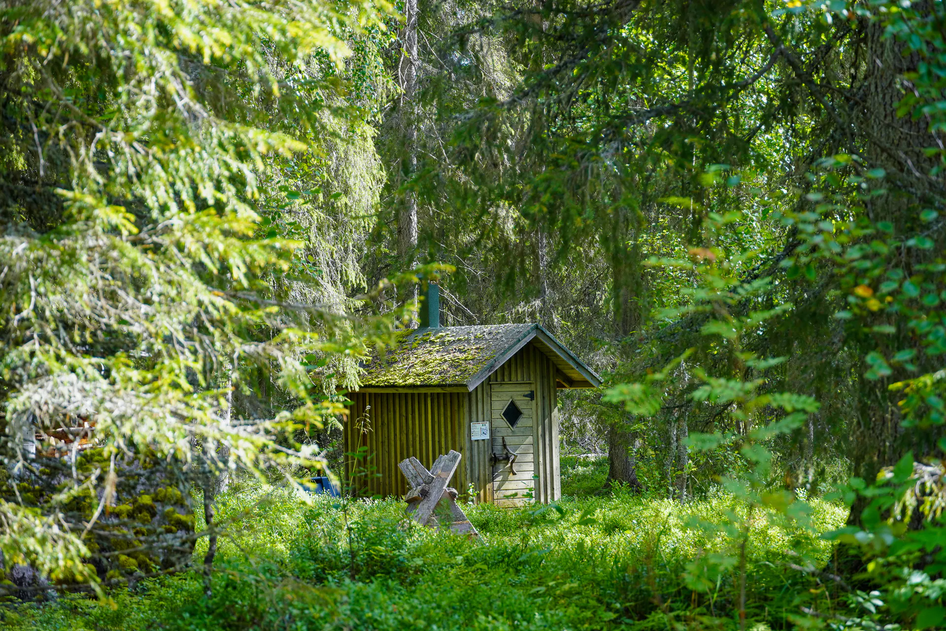
One of the highlights of the route is the extensive network of free wilderness facilities along the way. Open huts, laavus, firepits, and dry toilets make it easy to take breaks, cook meals, and spend the night surrounded by nature. Reindeer can often be spotted along the trail, while wild berries and mushrooms grow throughout the forests, adding to the feeling of being deep in the Nordic outdoors.
The hike is not particularly demanding, with no major climbs or technical sections. The main challenge, especially during the summer months, is the mosquitoes, so it’s important to come prepared with effective insect repellent and suitable clothing.
"The Bear Trail" - Where forests, rivers, and reindeer meet
- LocationFinland
- Moderate
- Distance85km
- Stages5
- Elevation Gain 2000m
- Elevation Loss 2100m
Highlights of the route
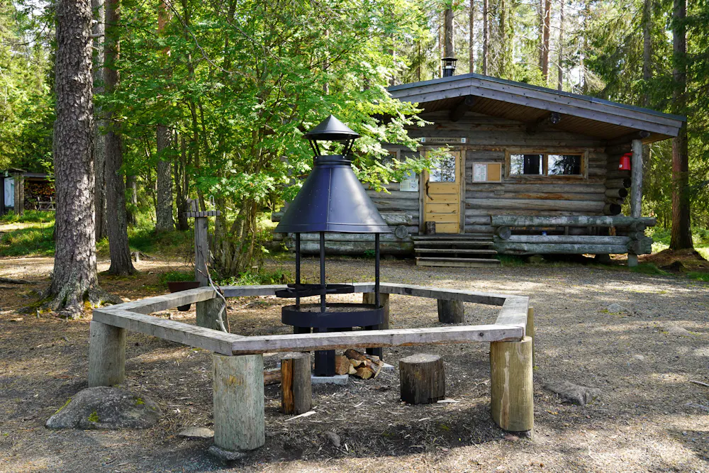
Free Wilderness Facilities
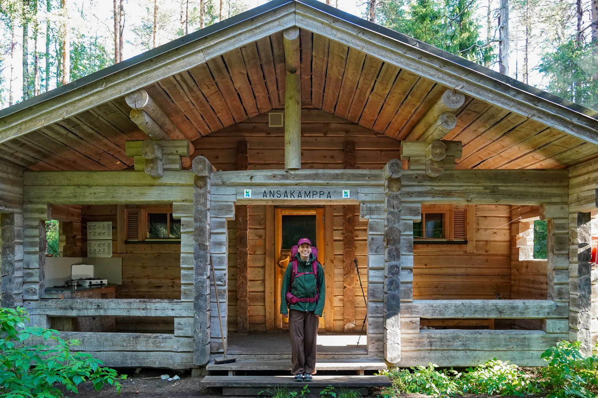
One of the special features of the route is its extensive network of free wilderness facilities, making the journey comfortable and accessible for hikers and campers. Along the way, you’ll find open huts, lean-to shelters, dry toilets, and designated fire pits, providing practical places to rest, cook, camp and spend the night.
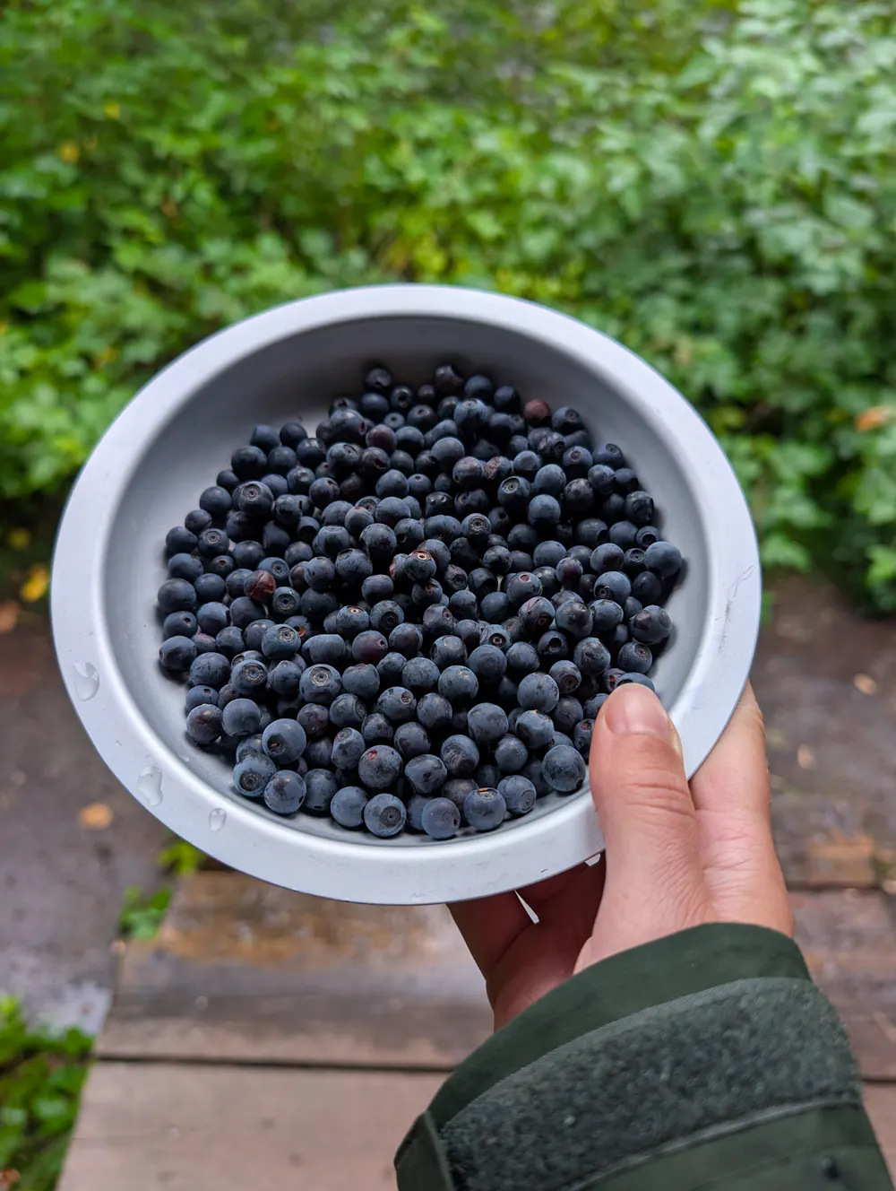
Wild Berries & Forest Mushrooms
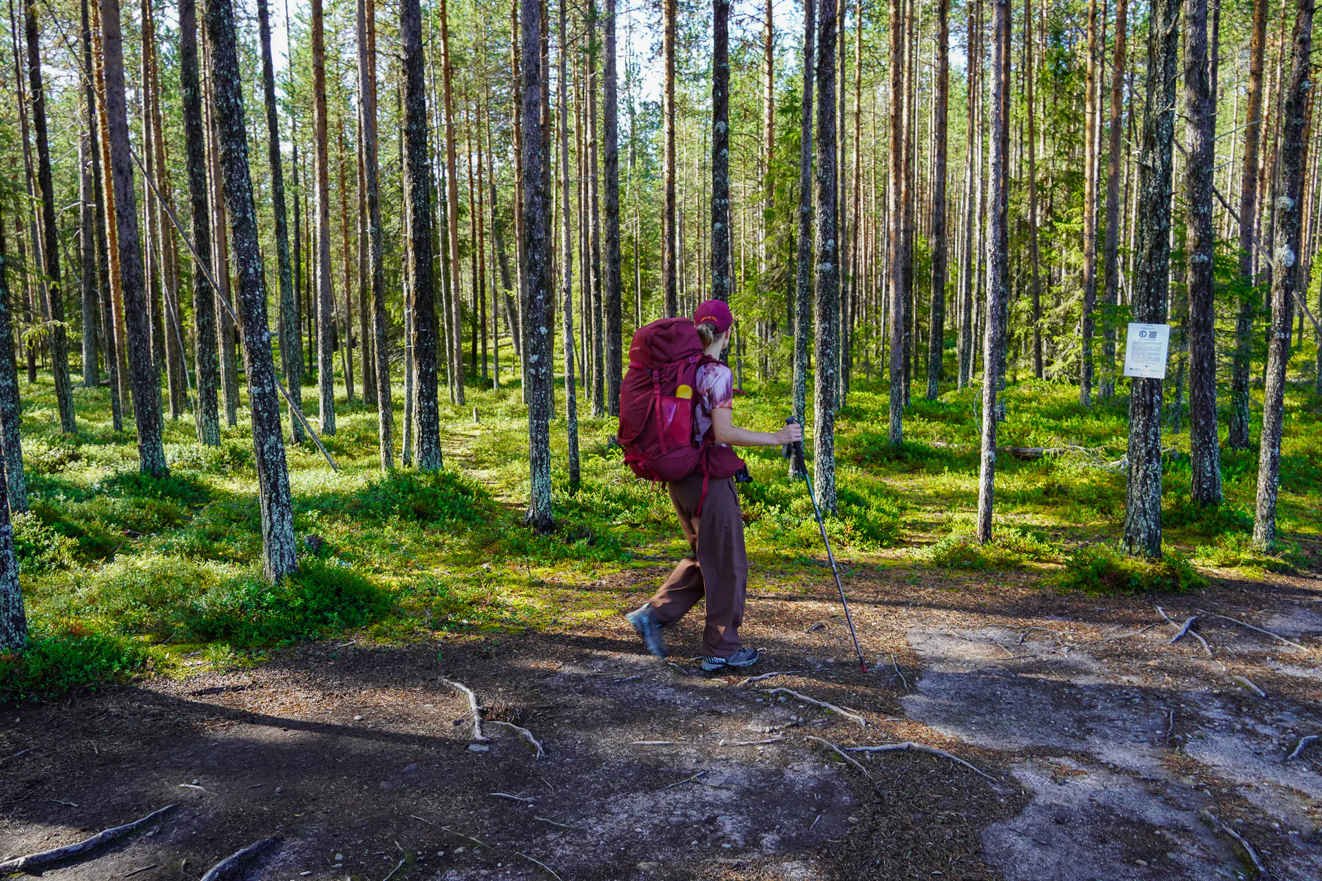
The forests are rich with wild blueberries, lingonberries, and edible mushrooms, which can often be found growing right alongside the trail. During the berry and mushroom season, hikers can pause to pick and enjoy these Nordic delicacies, adding a delicious and authentic taste of the wilderness to the journey.
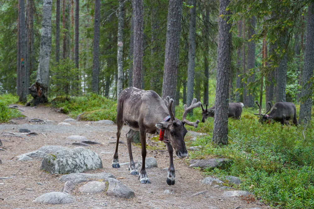
Reindeer in the Wild
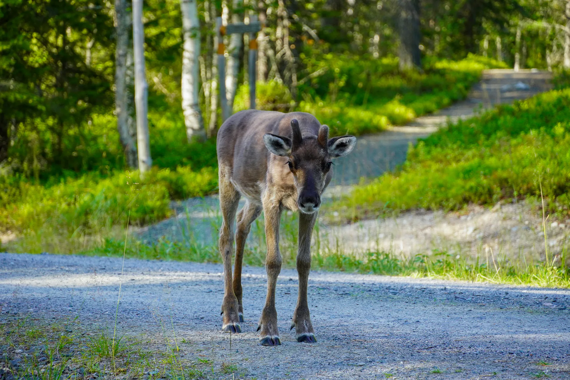
Reindeer are an iconic part of the region and can often be spotted roaming freely through the forests. Seeing these gentle animals in the wild adds an Arctic touch to the hike and offers a glimpse of northern Finland’s wildlife and traditions.
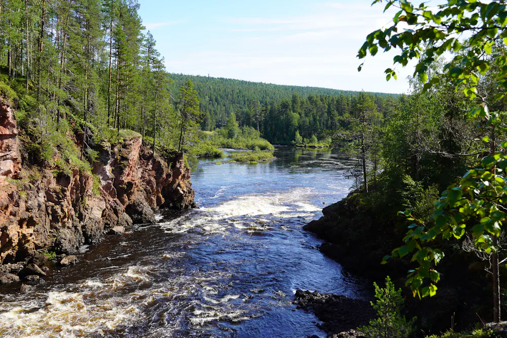
Wild Rivers & Gorges
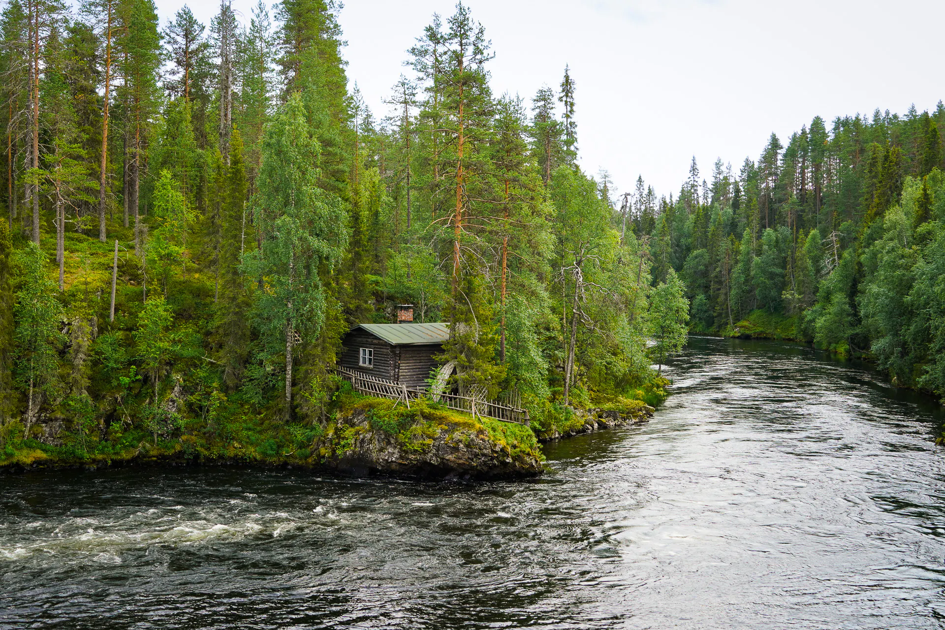
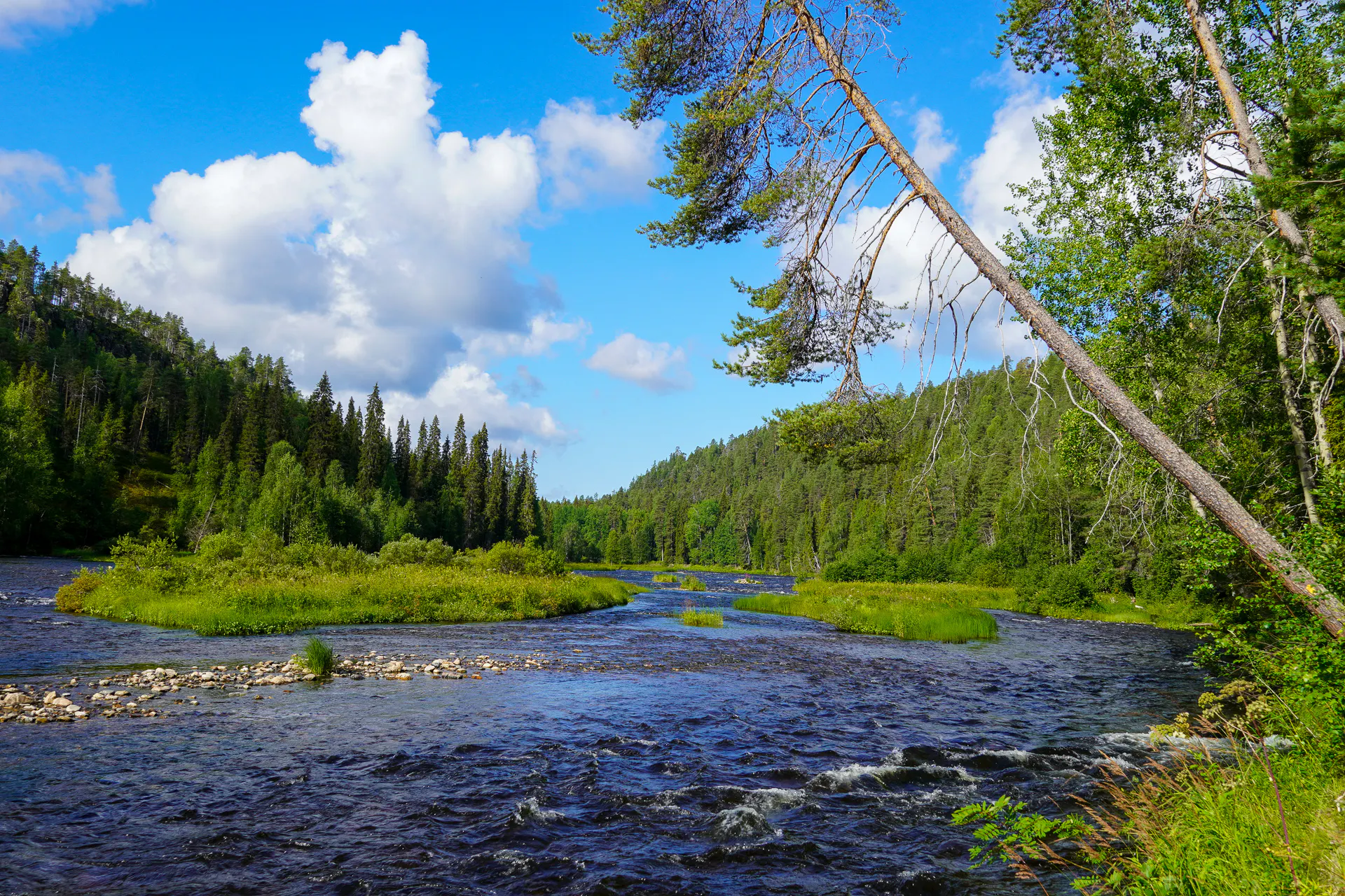
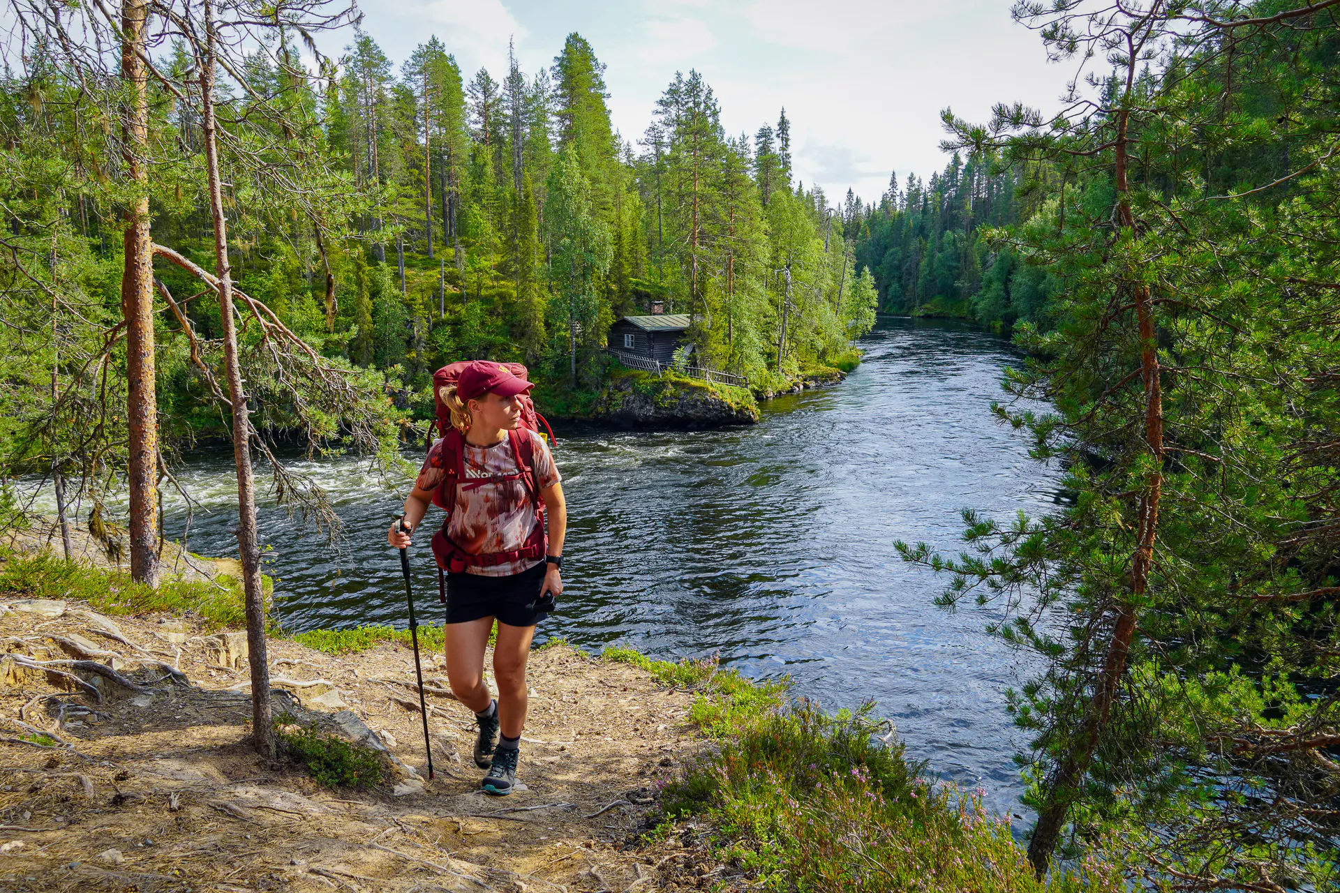
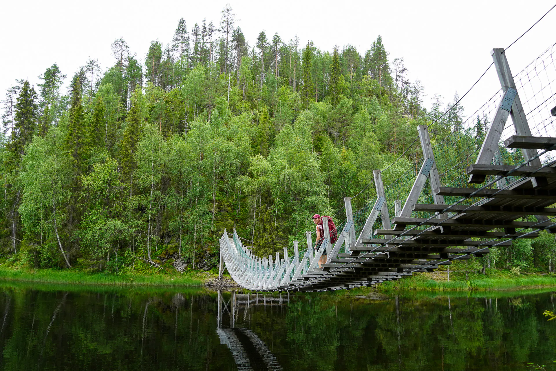
The route follows a network of clear, rushing rivers that carve their way through rugged forests and valleys. Along the way, hikers encounter dramatic river gorges, rapids, and rocky viewpoints, with highlights such as the Kiutaköngäs rapids. Wooden bridges, rushing waters, and steep riverbanks bring a sense of wildness and variety to the journey.
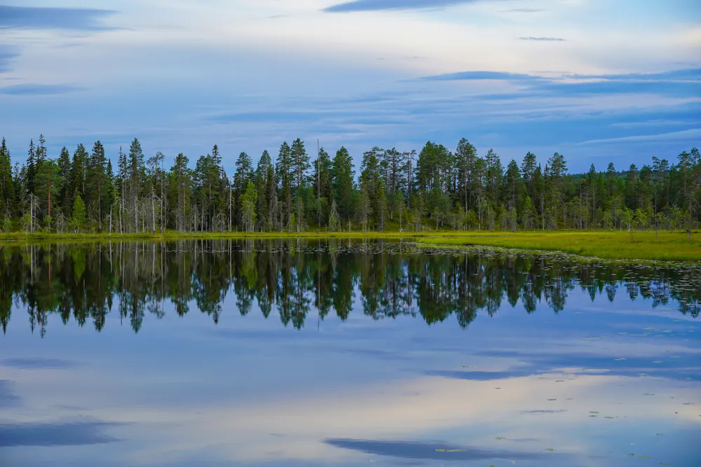
Lakes & Ponds
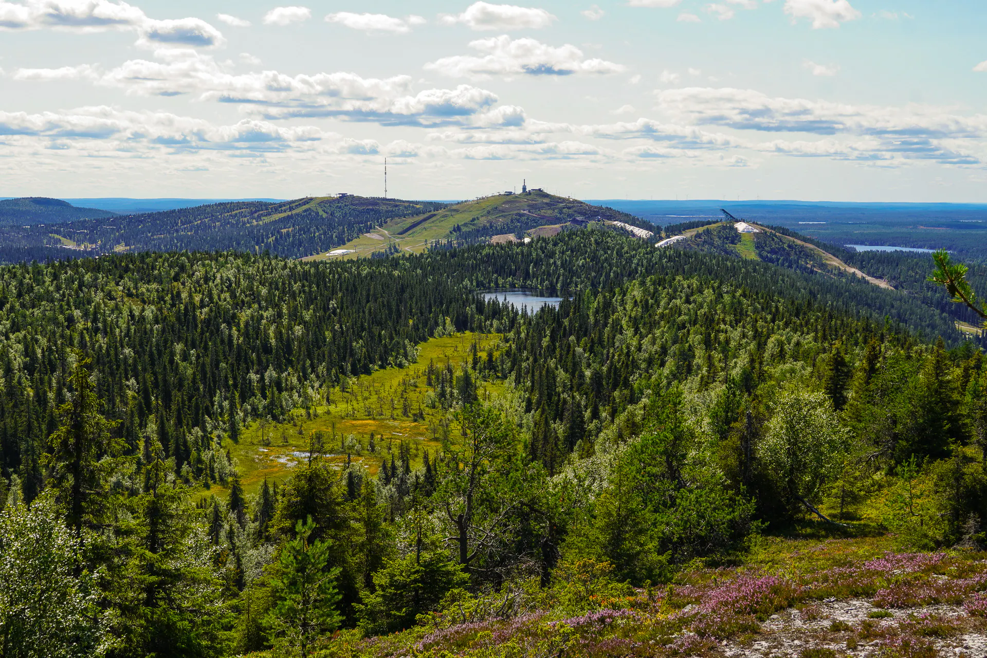
Finland is known as the land of a thousand lakes, and on this hike, you'll see exactly why. Some lakes you'll pass right along the shore, others you'll spot from a ridge or a viewpoint up above. Either way, they're a constant presence throughout the trail, quiet, still, and impossible to ignore.
The Elevation Profile
Total Distance
-km
Elevation Gain
m
Elevation Loss
m
Max Elevation
m
Min Elevation
m
- Stage
- Point of interest
The route map
Discover our Hike Planner
Create your perfect itinerary with our Hike Planner
Plan your long-distance hike stage by stage, with trail data verified by us on every route. All in one place.
- Curated hike data with official routes, variants, and more
- Design your hike stage by stage
- Find huts with real-time availability
- Download GPX files for your favorite navigation app
- Generate a printable PDF for your hike
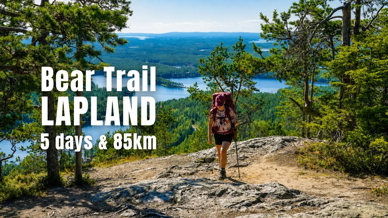
In the heart of Lapland, it's easy to slow down and reconnect with nature. A place where the silence speaks for itself.
Frequently asked questions
How to get there
From the north, the trail starts at Hautajärvi Napapiiri Café, which is accessible by bus with Matkahuolto. Another option is to arrange a taxi transfer with Rukan Taxi. The trail finishes at Ruka Ski Station, which is accessible by bus or with the same taxi service.
Water & food
Water is plentiful along the route, with plenty of rivers and lakes to refill from. However, we recommend carrying a water filter, as some sections require collecting water from small lakes or ponds where the water is not flowing.
The hike is largely self-supported, so you’ll need to carry enough food for the journey. The only places to buy food along the route are the Oulanka Visitor Centre and the nearby Oulanka Camping, so make sure to check their opening times in advance.
Accommodation
Open huts (“avotupa”) and camping areas along the route are free of charge. There are seven open huts, all non-staffed and available on a first-come, first-served basis — reservations are not possible. Depending on the hut, they can accommodate around 10 to 20 people.
Camping spots are plentiful, with only one staffed and paid campsite, Oulanka Camping. Since you can’t guarantee a place inside an open hut, it’s a good idea to carry your own tent so you always have a place to sleep.
Wild camping
Wild camping is possible in many places along the route, with numerous established camping spots available throughout the hike. These are usually located near a laavu or open hut and offer everything you need for a comfortable night outdoors, including firepits with firewood, dry toilets, access to water, and lean-to shelters. In Oulanka National Park wild camping is only permitted next to rest stops (laavus and huts).
When to go
The trail is officially open from late May to October, with each period offering a different experience. Late June through August is the peak season, with long daylight hours and warmer temperatures — but also more hikers and plenty of mosquitoes.
Early September is a great time to experience ruska, the colourful autumn foliage. The mosquitoes are usually gone by then, although temperatures are cooler and rain becomes more likely. October brings a quieter experience, but you should be prepared for colder conditions and possible frost on the trail. We hiked in late July.
Money
Since this is a self-supported hike, you won’t need to carry much cash. If you plan to take a bus or taxi back to town, it’s useful to have some euros on hand, although cards are widely accepted. The only place to buy food along the trail is the Oulanka Visitor Centre, where card payments are accepted.
Limited spots
Plan your hike with us: Custom Itinerary consultation
We help you build a custom itinerary, personalise your route, and get ready for logistics, hut bookings, gear and trail tips. Plus full access to the Hike Planner for your hike.
- Custom itinerary & personalised route
- Logistics, hut booking and gear tips
- Hike Planner access for your hike