Interactive hiking guide
Kungsleden

The full Kungsleden hiking trail is 440 km long and divided into four sections. The northern section, from Abisko to Nikkaluokta, is the most popular part of the trail. This guide follows the northern Kungsleden in reverse, starting in Vakkotavare and finishing in Abisko, with an added detour to Kebnekaise, Sweden’s highest peak.
This route truly showcases some of the best of Swedish Lapland, from vast open valleys and dramatic mountain peaks to peaceful lakeshores, rushing rivers, and remote Arctic tundra.
Along the way, there are endless opportunities for wild camping in peaceful and scenic locations. Many mountain huts also offer cosy accommodation in the middle of the wilderness, with some even having a sauna where you can relax after a long day on the trail. Despite how remote the Kungsleden feels, the huts provide useful services that make the journey much easier, including small shops where you can restock food and other supplies.
Whether you want to hike the Kungsleden hut-to-hut from start to finish or carry a tent and wild camp every night, both options are possible. The flexibility is one of the great things about hiking the Kungsleden, allowing you to adapt each day to the weather, your energy levels, and the places you want to explore.
Arctic landscapes, remote valleys, and Sweden’s highest peak
- LocationSweden
- Medium Hard
- Distance150km
- Stages9
- Elevation Gain 4650m
- Elevation Loss 4760m
Highlights of the route
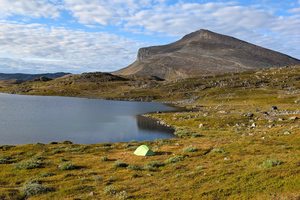
Wild Camping
Wild camping is allowed along much of the route, with endless opportunities to find beautiful spots to pitch your tent. From peaceful lakeshores and riversides to open mountain landscapes, you can choose a different setting every night and enjoy the freedom of camping in nature.
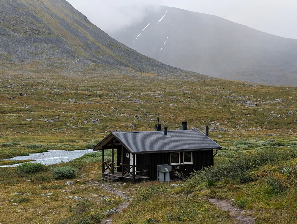
Sauna "Bastu"
Many huts along the route have traditional saunas, or bastu, making them the perfect place to relax and warm up after a long day of hiking. A sauna by a remote lake or surrounded by mountains is a uniquely Swedish way to end the day on the trail.
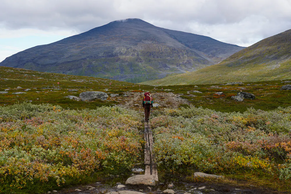
Hiking in the Arctic
Swedish Lapland offers a truly remote hiking experience, with vast open valleys, rugged peaks, and wide stretches of Arctic tundra. With few roads or settlements along the way, the landscape feels wild and untouched, and reindeer can often be spotted roaming through the mountains.
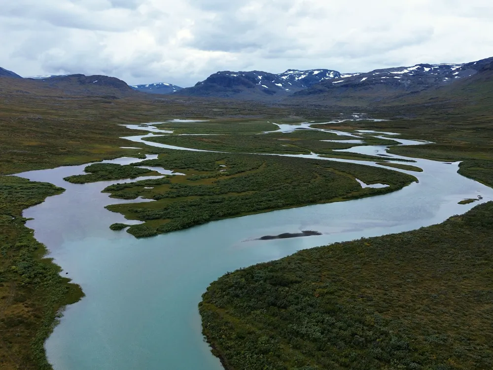
Abundance of Water
Water is a constant presence along the route, from calm mountain lakes and small streams to wide, rushing rivers. Many sections follow the water through the valleys, creating beautiful scenery and plenty of peaceful spots to stop, take a break, and enjoy the surroundings.
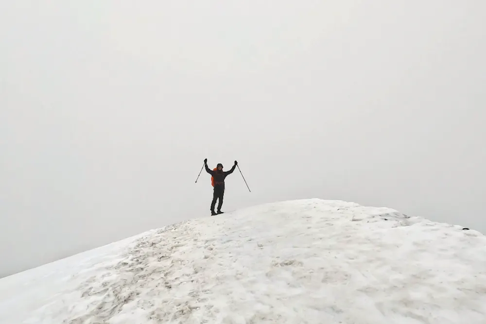
Kebnekaise Peak
Kebnekaise is not part of the main Kungsleden route, but a detour to Sweden’s highest peak adds a spectacular challenge to the journey. The climb is steep and demanding, but can be done as a one-day expedition from Kebnekaise Mountain Station. It’s a rewarding addition for anyone looking to add a high-mountain challenge to the journey.
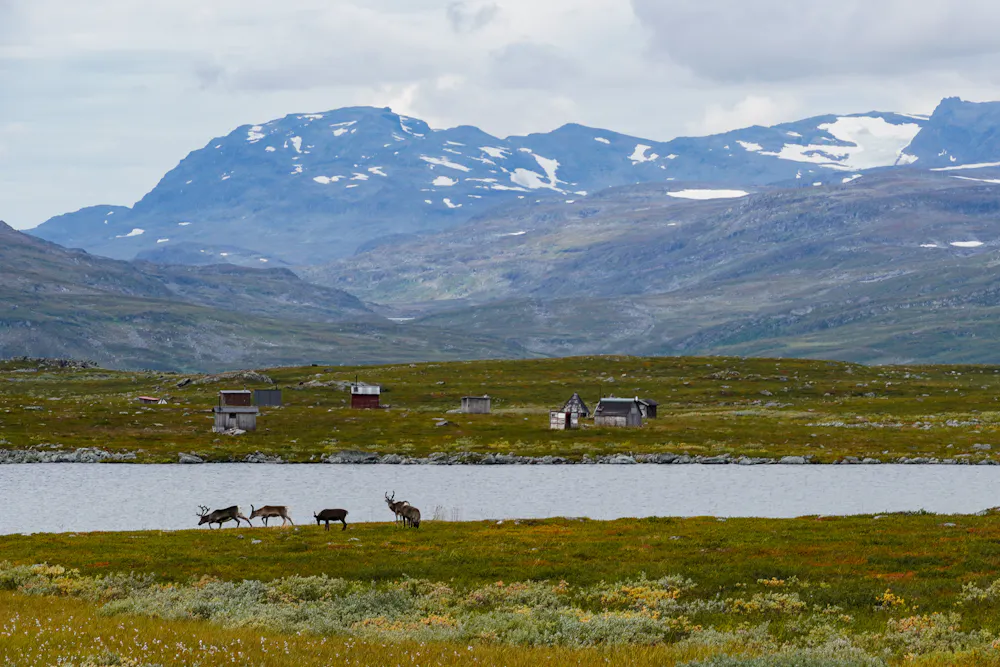
Sámi Heritage
The mountains of Swedish Lapland are part of Sápmi, the traditional homeland of the Sámi people. Reindeer herding has been practised here for generations and remains an important part of Sámi culture today. Along the trail, you may see reindeer grazing in the mountains and pass through landscapes shaped by this long-standing connection between people, animals, and the land.


The Elevation Profile
Total Distance
-km
Elevation Gain
m
Elevation Loss
m
Max Elevation
m
Min Elevation
m
- Stage
- Point of interest
The route map
Discover our Hike Planner
Create your perfect itinerary with our Hike Planner
Plan your long-distance hike stage by stage, with trail data verified by us on every route. All in one place.
- Curated hike data with official routes, variants, and more
- Design your hike stage by stage
- Find huts with real-time availability
- Download GPX files for your favorite navigation app
- Generate a printable PDF for your hike


Frequently asked questions
How to get there
Water & Food
Water sources are abundant along the whole route: rivers and lakes. It's good to carry a filter bottle.
None of the mountain huts prepare any food so you need to cook your own. However, some huts have little stores where they sell freeze-dried meals, canned food, snacks and sweets, so you can re-stock easily and often. The only exception is Kebnekaise Mountain Station where they have a restaurant open for lunch and dinner.
Accommodation
Along the route, you’ll find both simple mountain huts and larger mountain stations. The huts have shared dormitories, kitchen facilities, and dry toilets, but no running water, electricity, or showers. Huts with a sauna usually have a water boiler, allowing you to wash with hot water using a bucket and ladle.
Mountain stations offer more comfort, with shared and private rooms, proper toilets, hot showers, and restaurants.
If you plan to use the huts regularly, consider becoming an STF member (375 SEK), as members receive discounts on accommodation and other services. More information here.
Wild camping
Wild camping is possible along most of the route, with the main exception being Abisko National Park. There, camping is only allowed at Nissonjokk campsite (free) or next to Abiskojaurestugorna hut.
You can either camp independently in the wilderness or pitch your tent next to a mountain hut. If you want to use the hut facilities, there is a daily fee of 300 SEK per person. STF members receive a 100 SEK discount. The facilities include a kitchen, dry toilets, sauna, and drying room for clothes. More information here.
When to go
The summer hiking season usually runs from mid-June to late September. July and August offer long days and generally good hiking conditions, but are also the busiest months. Late August and September bring cooler temperatures, fewer hikers, and beautiful autumn colours. Even in summer, be prepared for rapidly changing mountain weather and possible snow at higher elevations.
We hiked in mid-August.
Money
The currency is the Swedish krona (SEK), and it’s useful to carry some cash with you. All the huts we visited accepted card payments, which also seemed to be the easiest option for them. When we tried paying for groceries with cash, some huts struggled to give us change.
Limited spots
Plan your hike with us: Custom Itinerary consultation
We help you build a custom itinerary, personalise your route, and get ready for logistics, hut bookings, gear and trail tips. Plus full access to the Hike Planner for your hike.
- Custom itinerary & personalised route
- Logistics, hut booking and gear tips
- Hike Planner access for your hike