Interactive hiking guide
La Palma
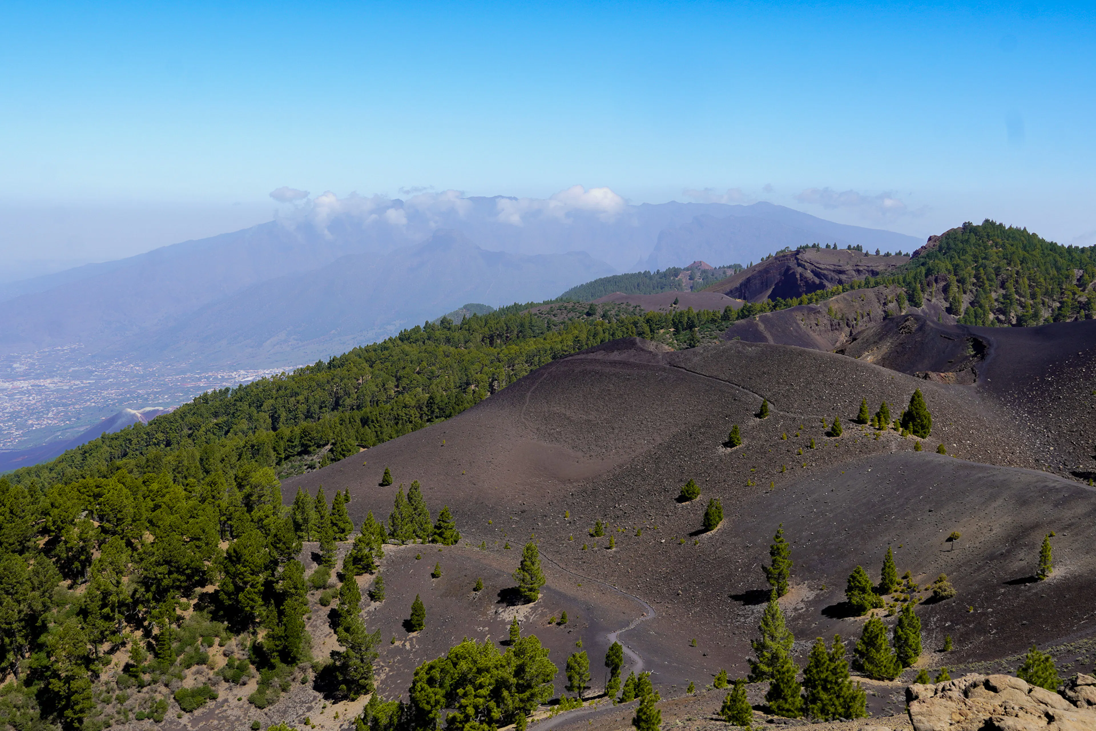
Circle the island of La Palma "La Isla Bonita" by combining the GR130 and GR131 trails, a beautiful journey through one of the Canary Islands’ most diverse landscapes. The route takes you across stark volcanic terrain and up to some of the island’s highest peaks, with sweeping views of crater rims and the vast Atlantic Ocean. Along the way, the scenery constantly shifts: from dark volcanic craters to high mountain ridges, from dense forests to lush yet rugged ravines.
The original GR130, the historic “Camino Real de la Costa,” once circled the entire island of La Palma. After the 2021 volcanic eruption, parts of the western coastline and several sections of the trail were buried by lava, making the full GR130 impossible to complete today. We created an alternative loop that reconnects the island through volcanic landscapes and mountain trails — turning the reroute into an even more adventurous way to experience La Palma.
The hike passes from town to town, allowing you to stay in local guesthouses and hostels along the way. There are no mountain huts on this route and only one campsite, giving the trek a distinctly local, island-travel feel rather than a remote alpine experience. As a result, some sections follow paved roads or run alongside traffic, which may not appeal to every hiker. Fortunately, these stretches can easily be skipped by using the island’s efficient and reliable bus network.
Circle the island, cross the volcanoes.
- LocationCanary Islands, Spain
- Medium Hard
- Distance154km
- Stages6 days
- Elevation Gain 8280m
- Elevation Loss 8280m
Highlights of the route
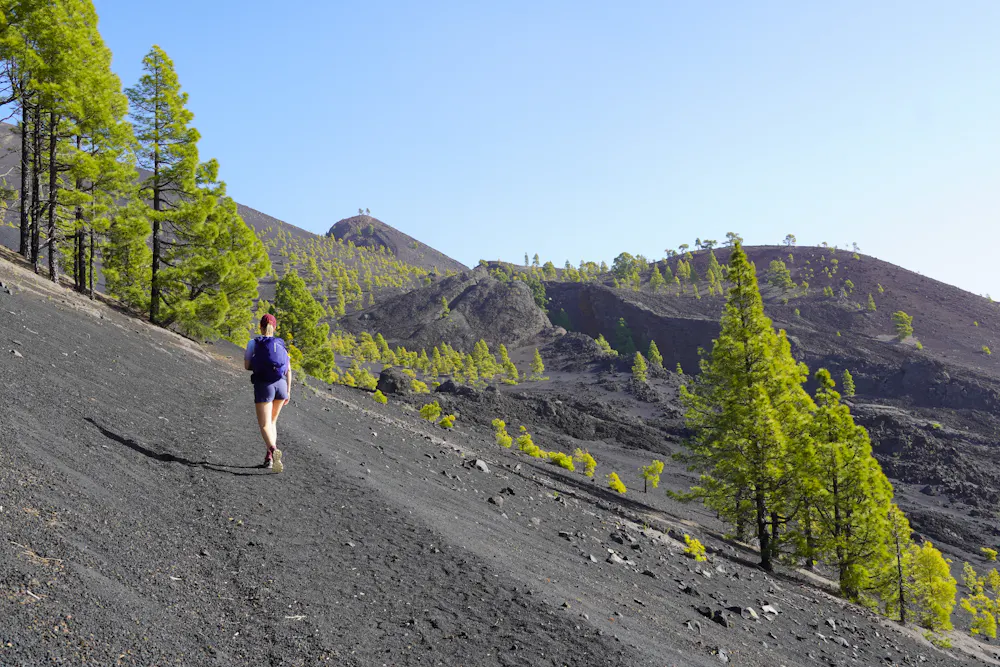
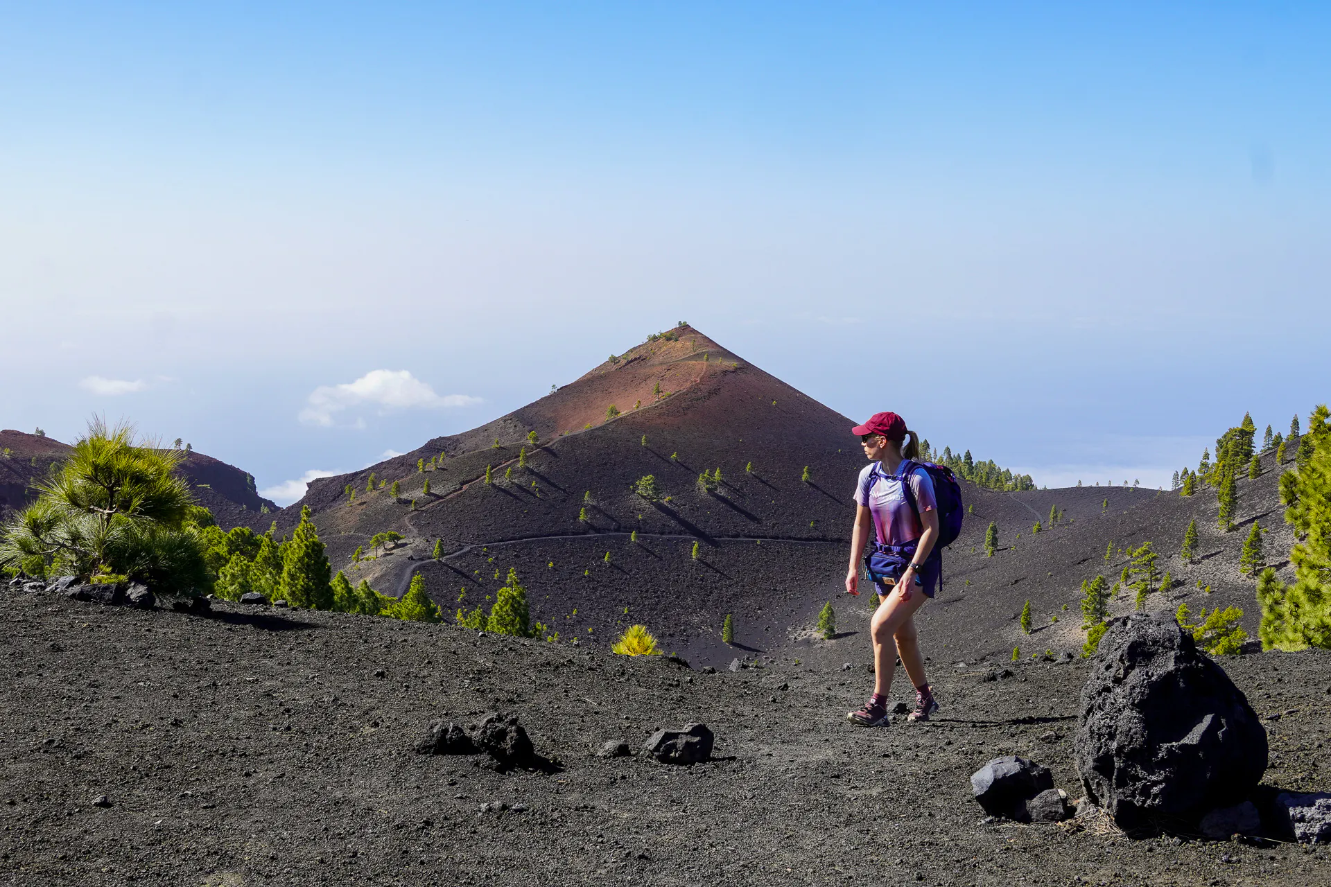
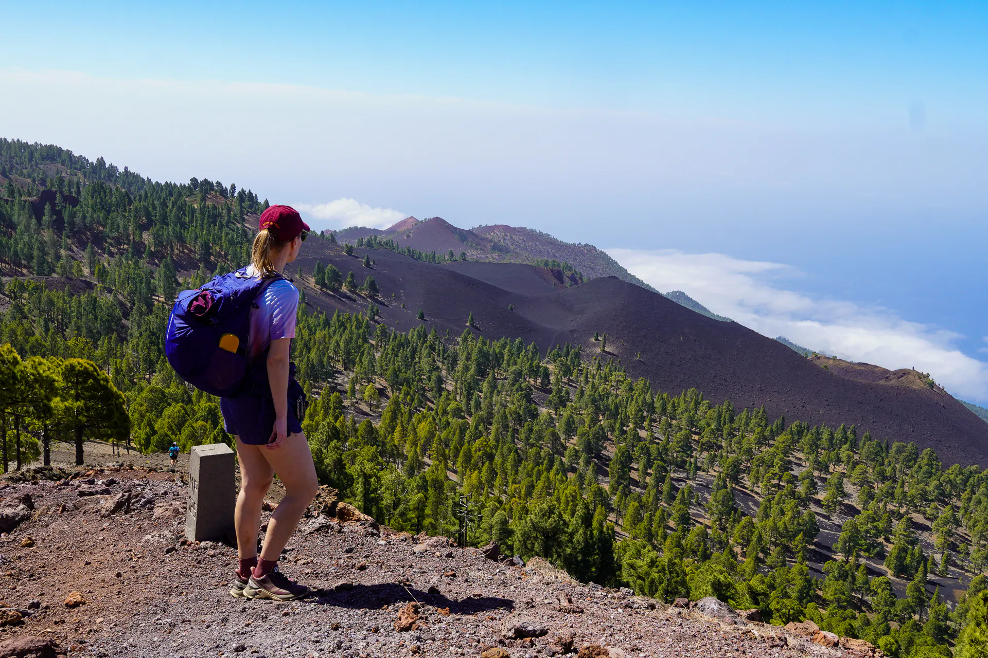
Ruta de los Volcanes
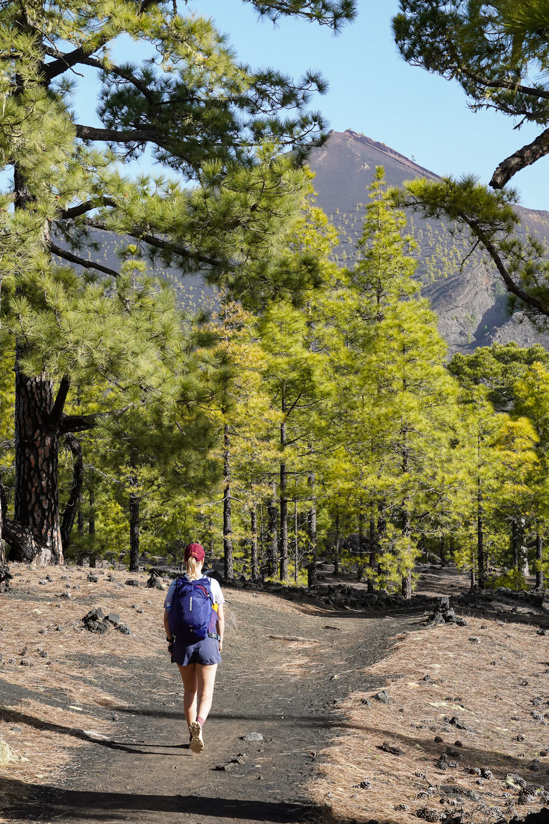
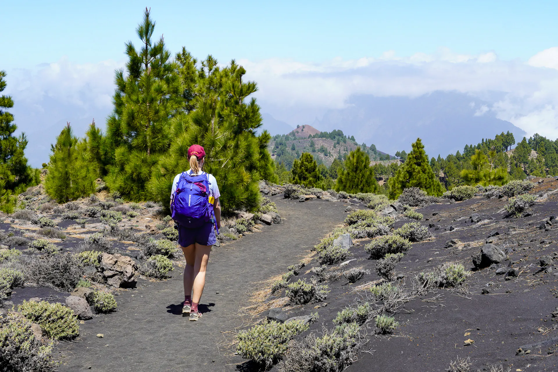
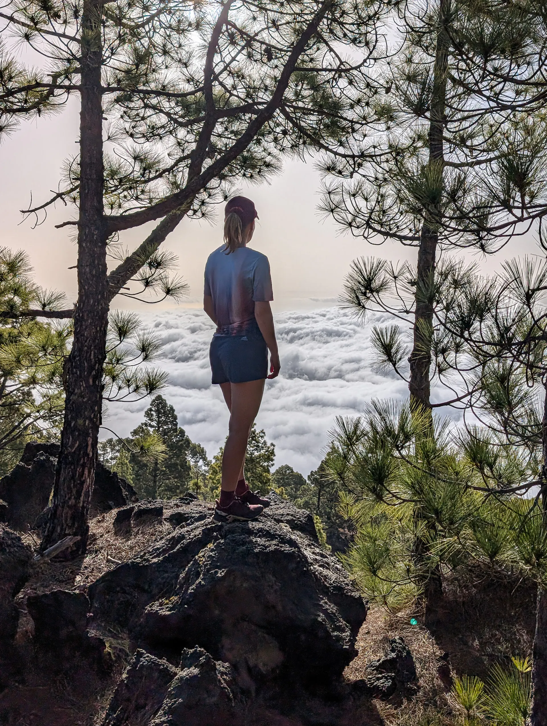
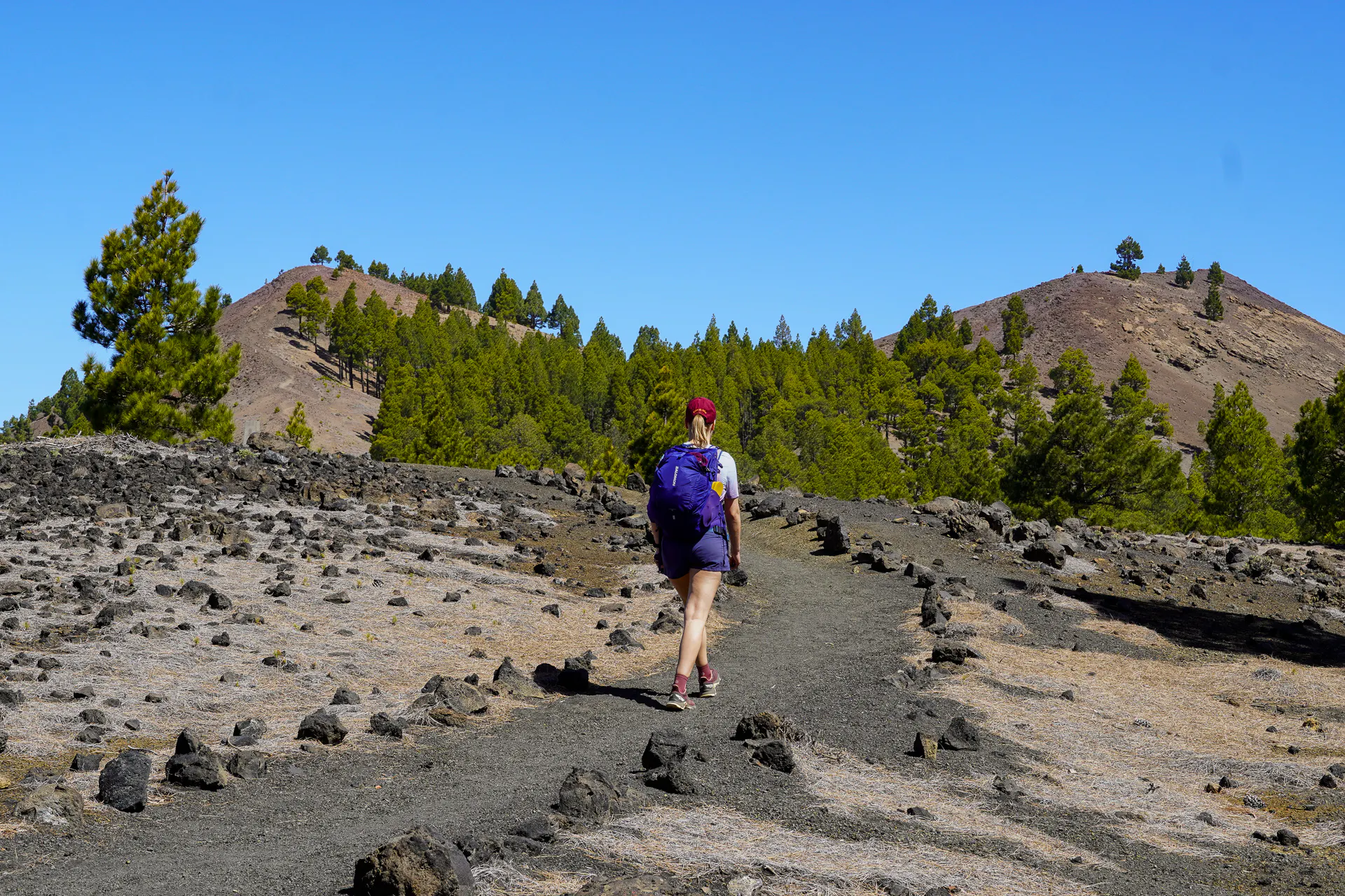
The GR131 follows a chain of volcanic craters and crosses vast lava fields shaped by centuries of eruptions. Walking through these rugged landscapes offers a striking glimpse into the island's volcanic origins.
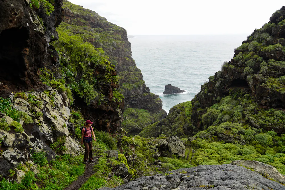
Barrancos
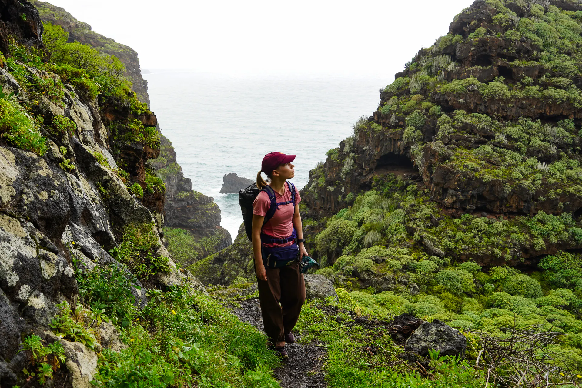
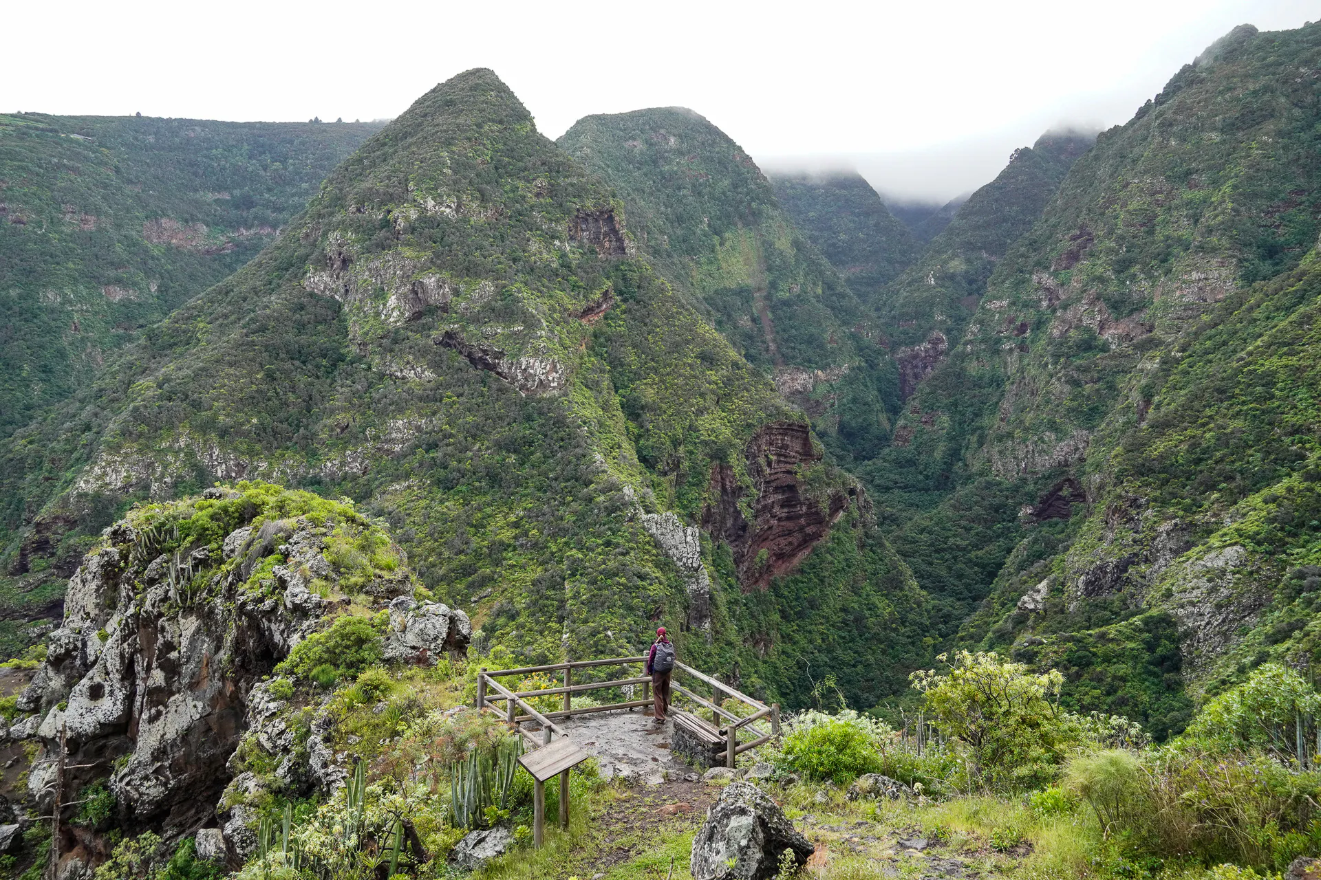
Deep barrancos cut through the landscape of La Palma, carving steep green ravines from the mountains down to the Atlantic.
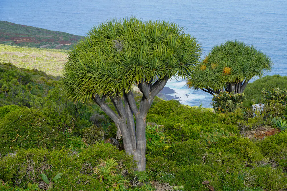
Dragon Trees
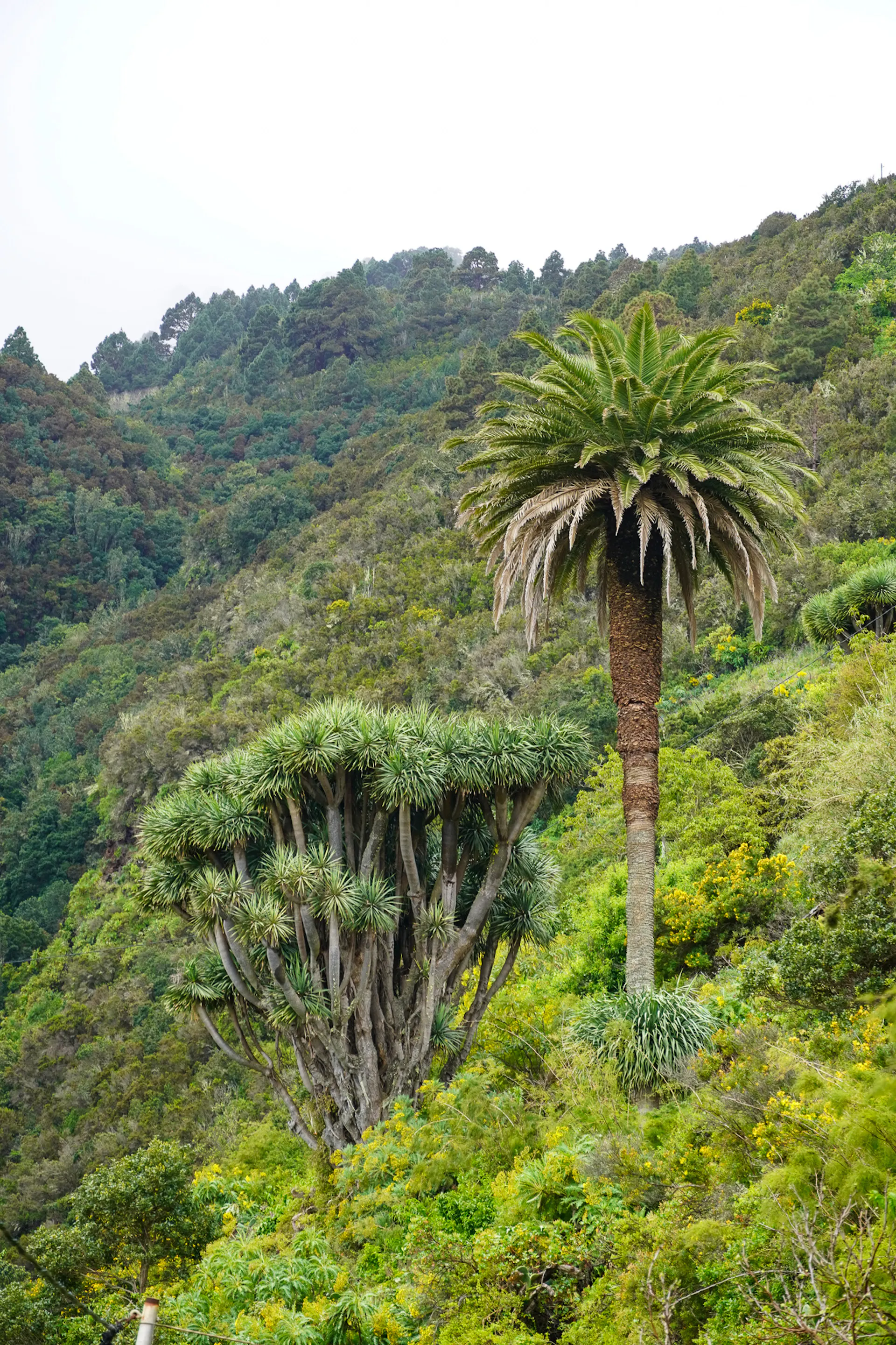
You'll encounter incredibly rich flora along the way, with many endemic species — but the Drago is one of the most special. An ancient tree native to the Canary Islands, with only a few rare specimens scattered across other Atlantic islands.
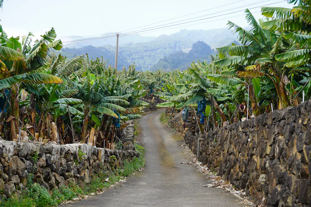
Banana Plantations
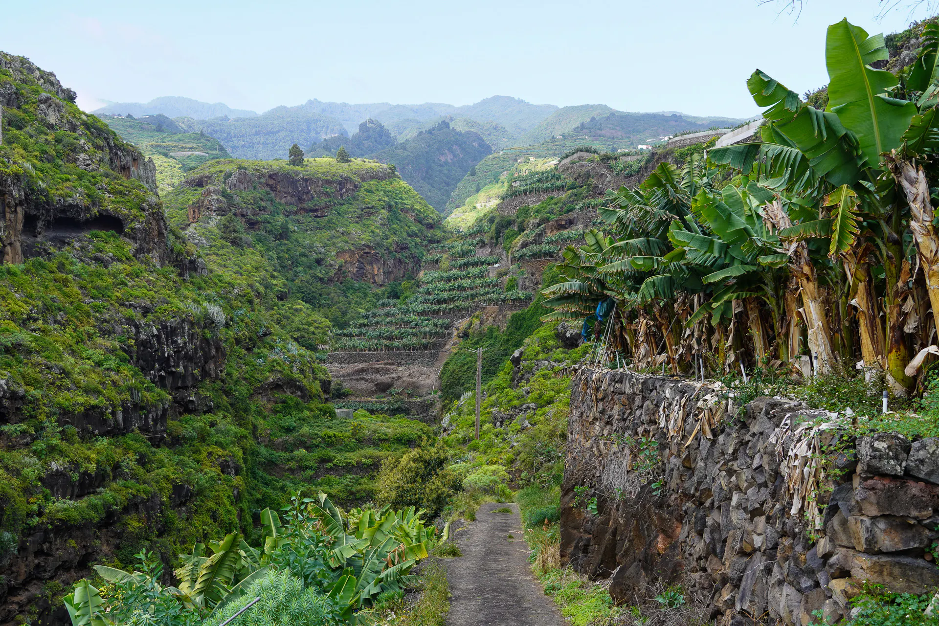
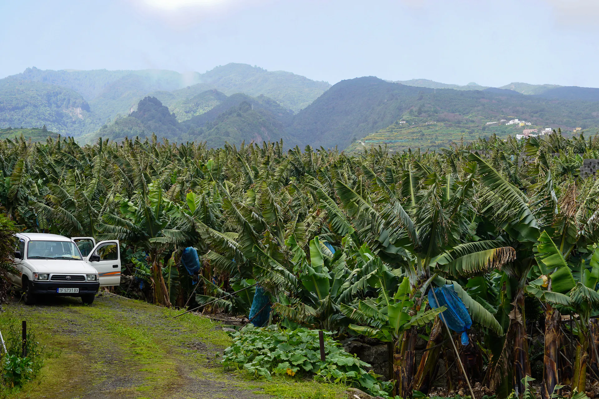
Defining features of La Palma and a major part of the island’s economy and landscape, commonly known as “Plátano de Canarias”.
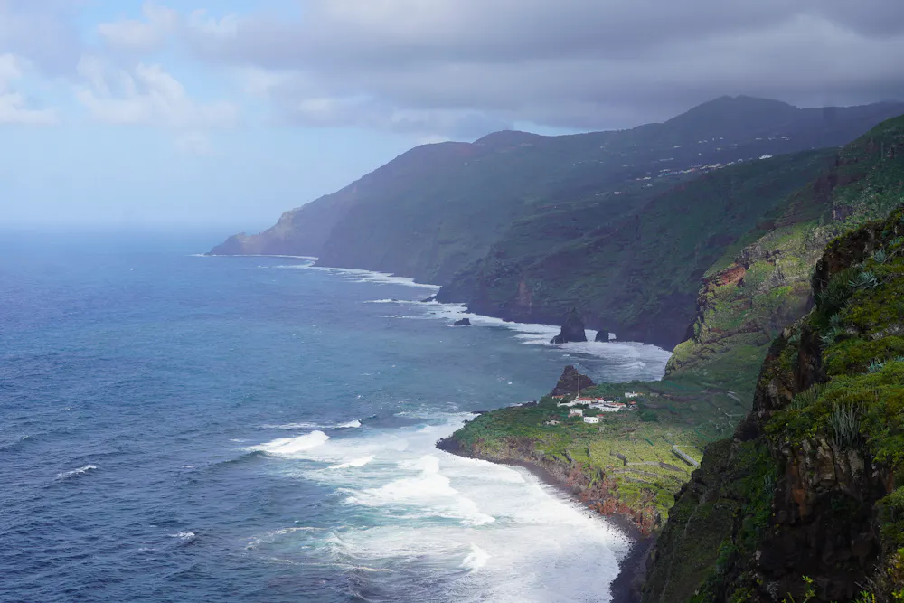
Cliffs
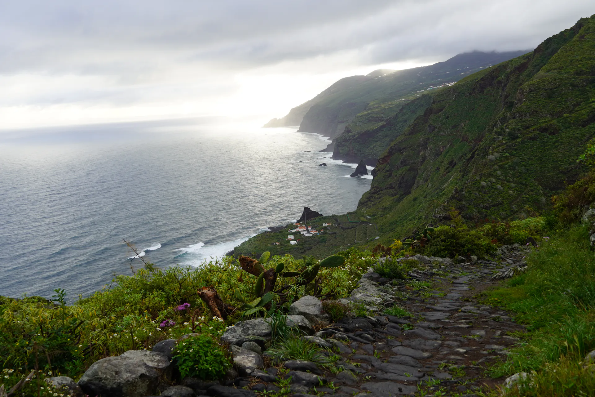
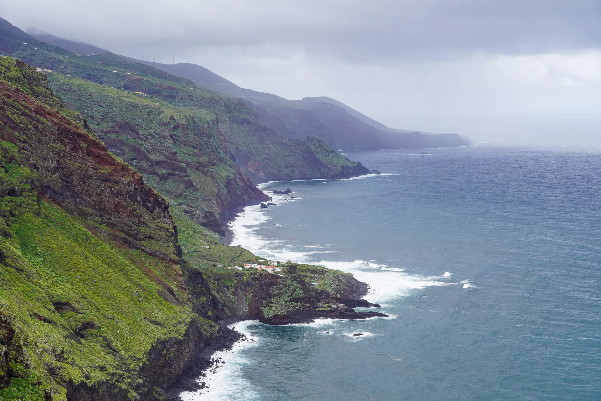
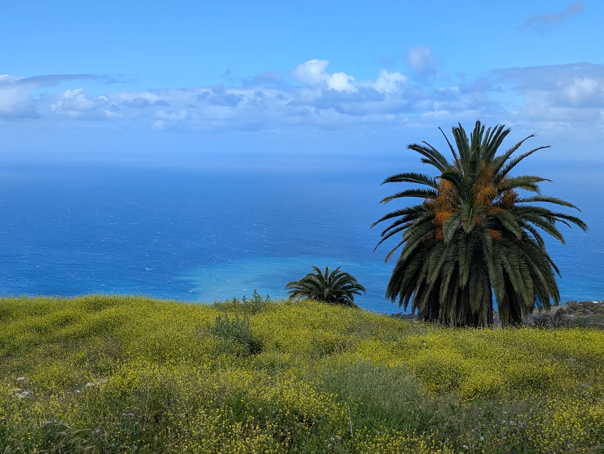
Along the northern coast, the Atlantic crashes into steep and beautiful cliffs.
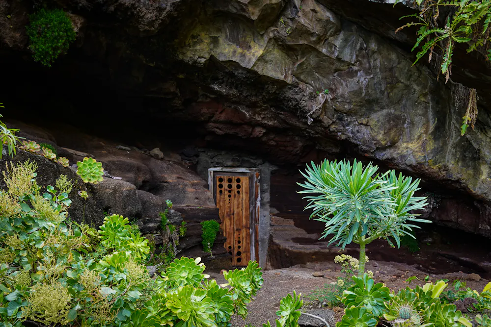
Cave Buildings
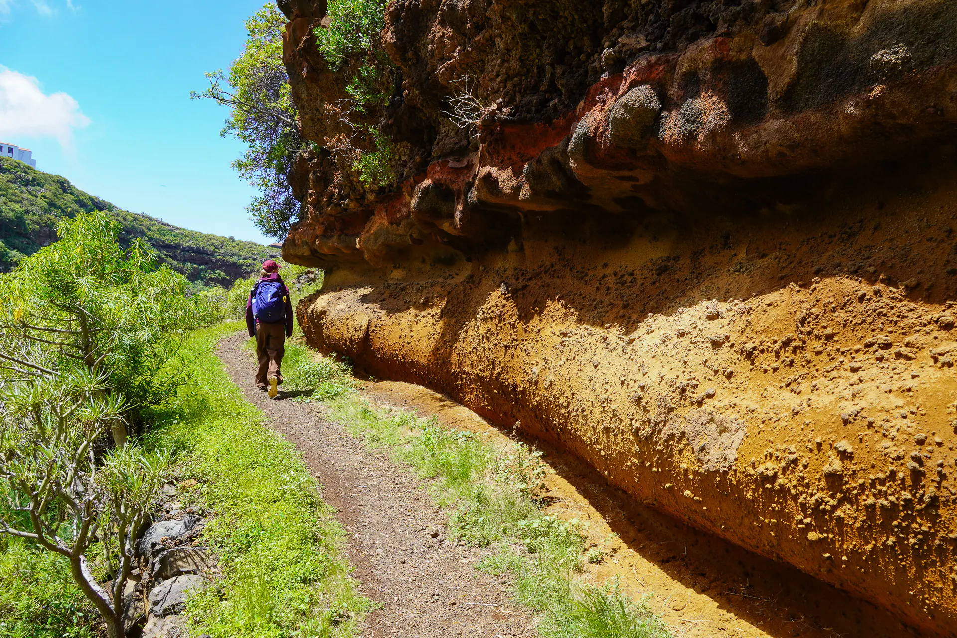
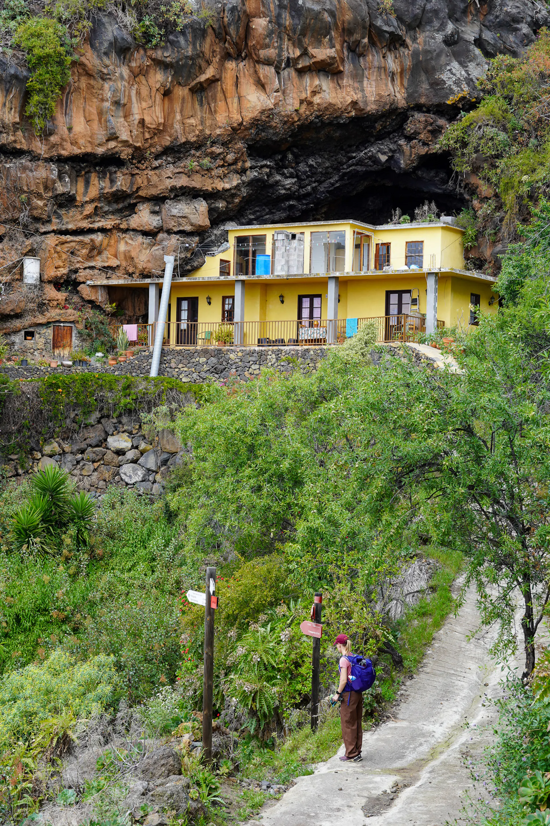
Along the north coast, you'll spot countless caves carved into the cliffs. Some were once inhabited by the island's indigenous people, and over time locals have continued that tradition — building shelters, storage spaces, and even full homes into the rock face.

The Elevation Profile
Total Distance
-km
Elevation Gain
m
Elevation Loss
m
Max Elevation
m
Min Elevation
m
- Stage
- Point of interest
The route map
Discover our Hike Planner
Create your perfect itinerary with our Hike Planner
Plan your long-distance hike stage by stage, with trail data verified by us on every route. All in one place.
- Curated hike data with official routes, variants, and more
- Design your hike stage by stage
- Find huts with real-time availability
- Download GPX files for your favorite navigation app
- Generate a printable PDF for your hike


Frequently asked questions
How to get there
La Palma has their own airport (Aeropuerto de La Palma SPC) but there are more flight connections to Tenerife which is right next to La Palma. From Tenerife there are daily ferry transfers from Los Cristianos to Santa Cruz de La Palma (journey time 2.5hr).
The hike starts from Santa Cruz de La Palma which is where the ferry arrives as well. Technically you could start from any town along the route and they are all connected by buses.
Water & Food
You will pass through many towns where you can find supermarkets and restaurants to get food. The only crucial place where there's no supermarket or restaurants is El Tablado (so bring your own food).
Water is also easy to find in the towns and water fountains along the trails. The only part where you can not find water is the Ruta de los Volcanes (GR131 between Los Canarios and Refugio Pilar).
Accommodations
Along the main route there's guesthouses and hostels. Along Ruta de los Volcanes there's one campsite (Refugio Pilar) with cooking shelters, water and toilets. It's free but you need to get a permit.
When to go
Technically you could hike anytime of the year but the more pleasant weather and temperature for hiking would be spring from March to May and autumn from September to November. Springtime is perfect to see the island blooming with wildflowers and the temperatures are usually 17°C-24°C. In autumn the temperatures are between 20°C-25°C.
Money
Card payments are widely accepted but it's good to carry cash for emergencies. You can find ATM's in the main towns: Santa Cruz, Los Llanos, Puntagorda, Barlovento, Los Sauces and Puntallana. For buses you need cash and you can only pay with bills smaller than €20.
Transport
All of the island’s towns are well connected by an efficient bus network. If you prefer to avoid some of the urban stretches or paved-road sections of the hike, it is easy to do so by taking a bus between stages. Most journeys cost around €2.40, and tickets must be paid for in cash.
Limited spots
Plan your hike with us: Custom Itinerary consultation
We help you build a custom itinerary, personalise your route, and get ready for logistics, hut bookings, gear and trail tips. Plus full access to the Hike Planner for your hike.
- Custom itinerary & personalised route
- Logistics, hut booking and gear tips
- Hike Planner access for your hike