If you're planning to hike the Walker's Haute Route in 2026, there's one thing you need to know before you finalize your itinerary: the Europaweg is partially closed, and the detours are more significant than they might look on a map. This isn't a minor trail diversion — one of the closures adds a full descent and re-ascent to your final days on the route.
Here's exactly what's closed, where the detours go, and what we'd factor in when planning.
What is the Europaweg and its current status
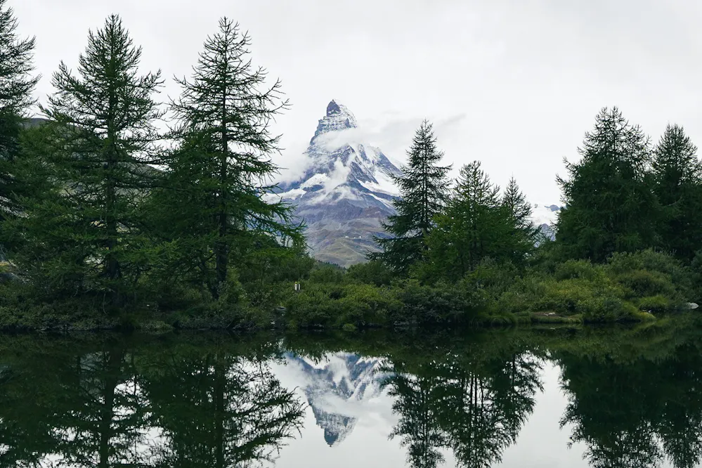
The Europaweg is the last section of the Walker's Haute Route, a 39km high-balcony trail that runs between Grächen and Zermatt. It's widely considered one of the most beautiful 2-day stretches in the Alps — you walk with a continuous panorama of the Valais giants including, at the end, the Matterhorn.
For most hikers, arriving in Zermatt via the Europaweg is the natural finish to the entire Haute Route. The trail rewards weeks of effort with some of the best views of the whole journey. So the closures hit at the worst possible moment.


The Balcony Section: between Grat and Galenberg (permanent)
In 2018, a major rockfall caused permanent damage to the high balcony section of the Europaweg. The authorities assessed the terrain and decided it was not safe or practical to rebuild. That section — between Grat and Galenberg — remains closed indefinitely.
This means hikers can no longer join the Europaweg directly from St. Niklaus, which is the traditional access point coming from the previous stage. Instead, from St. Niklaus you follow a lower trail that contours through the forest in the valley. You rejoin the Europaweg at Galenberg, just before Europahütte.
The detour is manageable and well-marked, but you miss the upper balcony section that most people come to walk. From Galenberg onwards to Zermatt, the trail is open and the iconic views are still there — but if you were hoping for the full high route, this part is gone for good.

Screenshot from our Hike Planner tool
The Tunnels Section: between Springelboden and Eggenstadel (2026)
In 2024, another rockfall damaged the tunnel section of the Europaweg between Springelboden (on the north side) and Eggenstadel (on the south side). As of 2026, this section remains closed until further notice, and it is widely expected to stay shut throughout the 2026 hiking season.
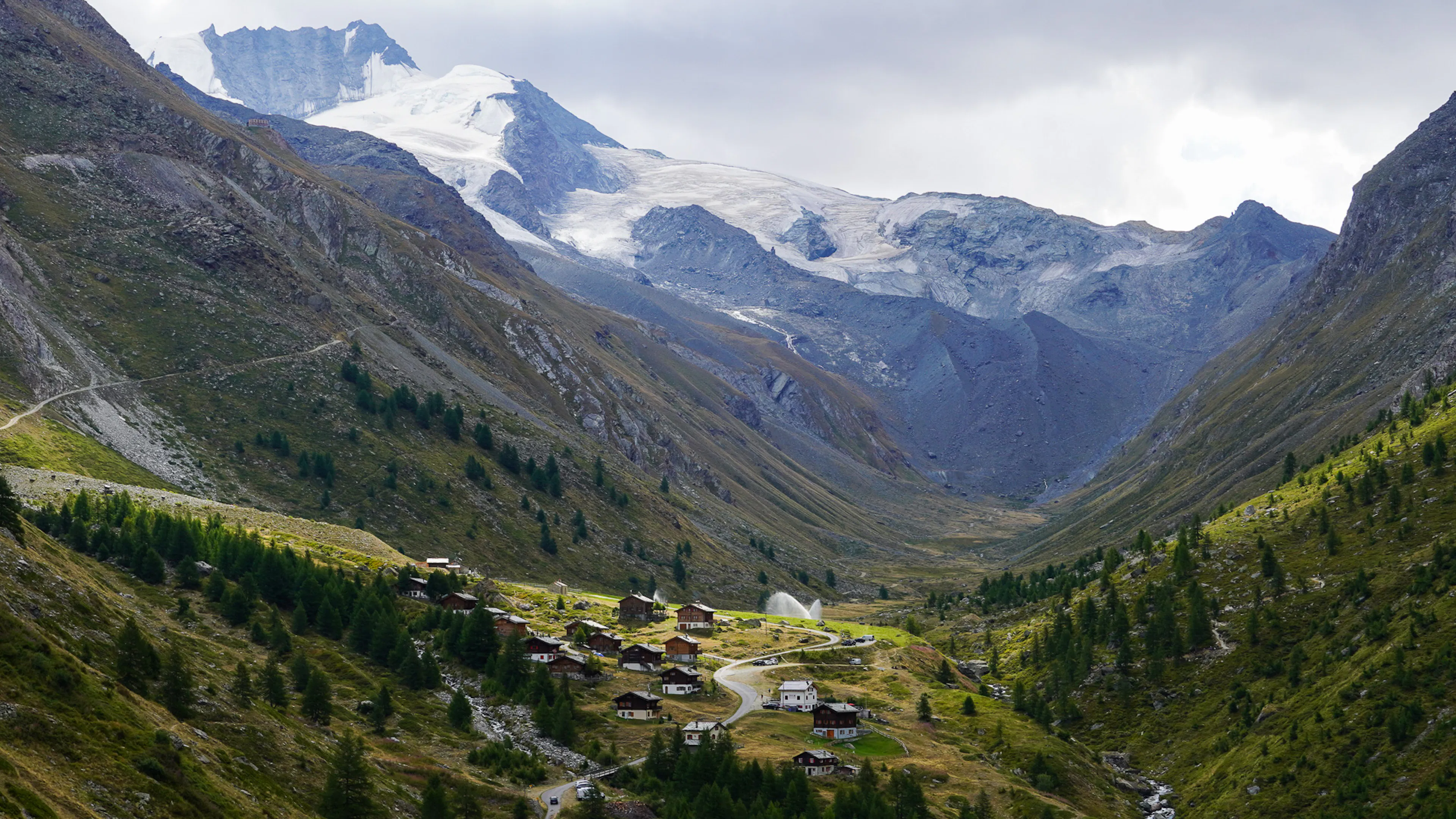
This closure forces a significant detour: hikers must descend all the way down to Täsch, the town in the valley, and then climb back up again to rejoin the trail. Täsch sits at around 1,450m, meaning 790m of descending and 720m of ascending back to the main trail.
This is the one that requires real planning. If you were hoping to complete the Europaweg over two comfortable days with a night at Europahütte, factor in the extra time and elevation change this detour adds.
The official closure page is here: zermatt.swiss — Europaweg. Check it before you go — the situation may evolve.

Screenshot from our Hike Planner tool
Plan your stages with the closures in mind
The Europaweg closures add real complexity to planning the final days of the Haute Route. If you're building your itinerary now, our Hike Planner lets you map out stages, select variants, adjust distances, which helps when you're trying to figure out where the Täsch detour falls relative to your planned overnight at Europahütte.
The Haute Route is still one of the great long-distance hikes in the Alps, and the Europaweg finish — even with detours — is still worth every step. Just go in knowing what to expect.
Create your perfect itinerary with our Hike Planner
Plan every stage of your hike with official routes, variants, and real-world trail data, all in one place.
- Curated hike data with official routes, variants, and more
- Design your hike stage by stage
- Find huts with real-time availability
- Download GPX files for your favorite navigation app
- Generate a printable PDF for your hike