Pyrenees
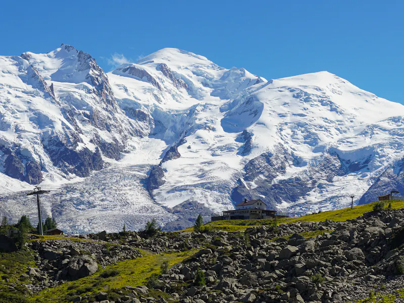
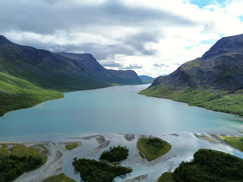
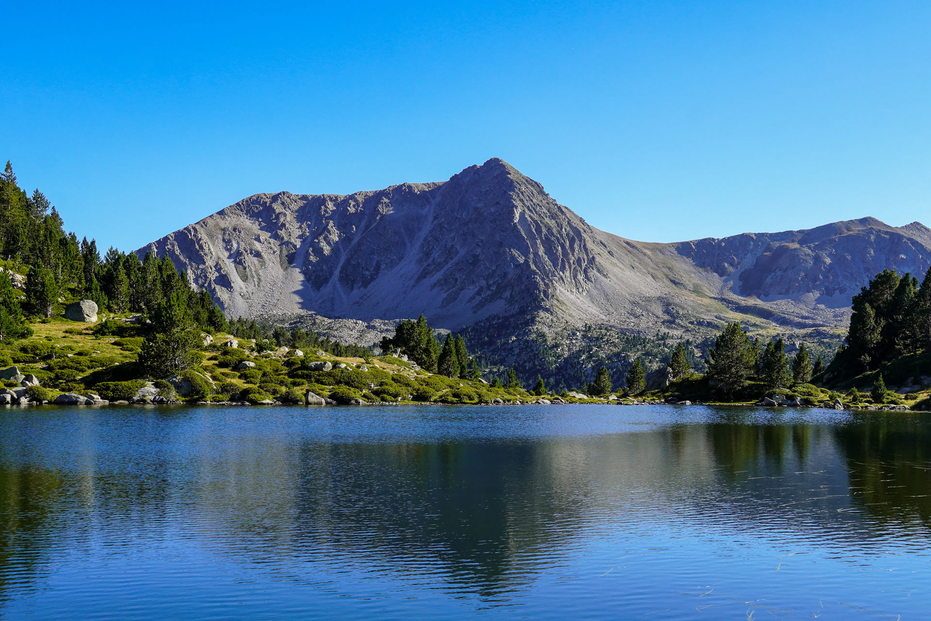
The mountain range between Spain and France, with hundreds of glacial lakes, high passes and a network of staffed refuges. Quieter than the Alps, wilder in places, and full of variety from one valley to the next.
- Southwestern Europe
- Region
- Spain, Andorra
- Countries we cover
- Late June to late September
- Best season
- Aneto, 3,404 m (Spain)
- Highest peak
- Staffed refuges, unstaffed shelters & campsites
- Accommodation
- Granite peaks & glacial lakes
- Landscape
A wild mountain range from the Atlantic to the Mediterranean
The Pyrenees stretch roughly 430 km from the Atlantic coast to the Mediterranean Sea, forming the natural border between Spain and France, with the tiny principality of Andorra tucked into the middle. Along the way, the range shifts from green, rain-soaked Atlantic valleys to high granite peaks, glacial lakes and sun-baked Mediterranean ridges, and the cultures change with the landscape, from Basque and Aragonese villages to Catalan and Occitan mountain communities.
The range is easy to explore in sections, with a few well-known bases to build a trip around. In the Spanish Pyrenees, Ordesa y Monte Perdido National Park and Aigüestortes i Estany de Sant Maurici National Park offer deep canyons, glacial lakes and high granite peaks, while Pyrénées Occidentales National Park covers the dramatic French side near Gavarnie. Mountain towns such as Torla, Benasque, Vielha, Jaca and Puigcerdà make good hubs, with hut networks, marked trails and plenty of day hikes nearby. Many of these places are connected by train and bus, so you can plan trips and even point-to-point routes without a car.
Best time to hike Pyrenees
- Best
- Shoulder
- Off season
- Jan January: Off season
- Feb February: Off season
- Mar March: Off season
- Apr April: Off season
- May May: Off season
- Jun June: Shoulder
- Jul July: Best
- Aug August: Best
- Sep September: Best
- Oct October: Shoulder
- Nov November: Off season
- Dec December: Off season
Most staffed refuges open from mid-June to late September. Early in the season, expect snow on high mountain passes.
Trail reports in Pyrenees

Carros de Foc
Adventurous route filled with pristine lakes in the Pyrenees
- LocationSpain
- Difficulty
- Distance63km
- Stages5 days
- Elevation Gain 4600m
- Elevation Loss 4600m

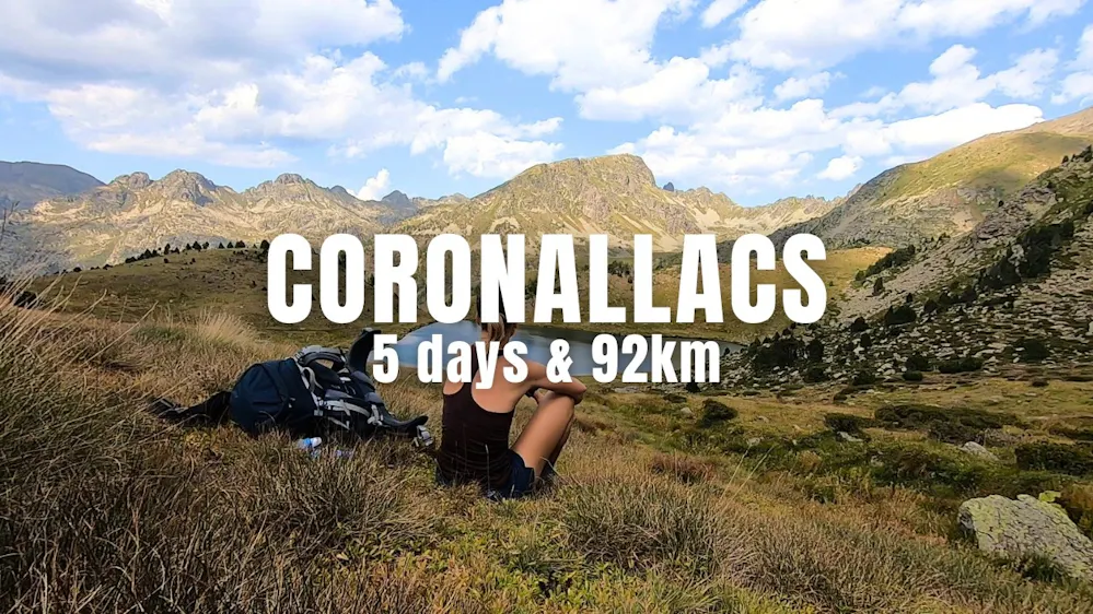
Coronallacs
Demanding hike connecting beautiful lakes in the Pyrenees.
- LocationAndorra
- Difficulty
- Distance92km
- Stages5 days
- Elevation Gain 6500m
- Elevation Loss 6500m
Good to know before hiking Pyrenees
Wild camping
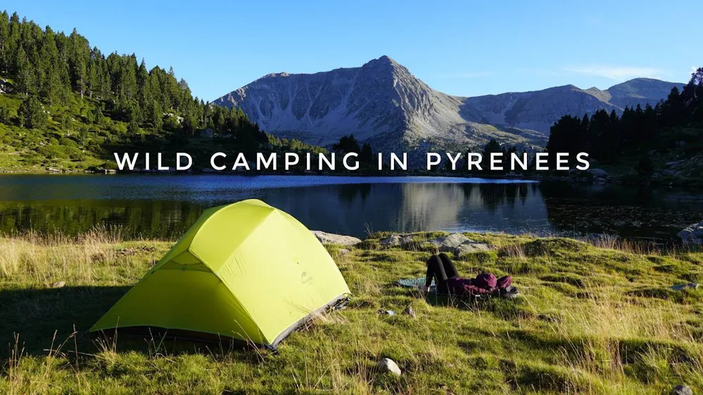
Rules depend on where you are. In some National Parks, pitching a tent is prohibited, including any sort of bivouacking. Outside protected areas, bivouacking is often tolerated on high altitudes.
Accommodations
Staffed huts across the Pyrenees offer a bed with half board (dinner & breakfast), so you can hike for days with a light pack and no need to carry food or camping gear.
Getting around
Many parks and valleys have buses to the trailheads, with ski lifts and trains serving some areas.
Money
The euro is used in Spain, France and Andorra. Most refuges accept cards, but carry some cash for small purchases.
Languages
Catalan, Spanish and French, with Basque in some western valleys. English is understood in most refuges.
Emergencies
Dial 112 in Spain, France and Andorra. Mountain rescue insurance is recommended.
Discover our Hike Planner
Create your perfect itinerary with our Hike Planner
Plan your long-distance hike stage by stage, with trail data verified by us on every route. All in one place.
- Curated hike data with official routes, variants, and more
- Design your hike stage by stage
- Find huts with real-time availability
- Download GPX files for your favorite navigation app
- Generate a printable PDF for your hike
Hiking stories from Pyrenees

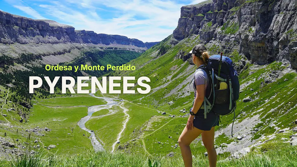
Discover the Majestic Waterfalls of Ordesa y Monte Perdido
Published on 14/02/2025
Explore the stunning trails of Ordesa y Monte Perdido National Park, from the classic Senda de los Cazadores loop to hidden waterfalls and wild camping tips.
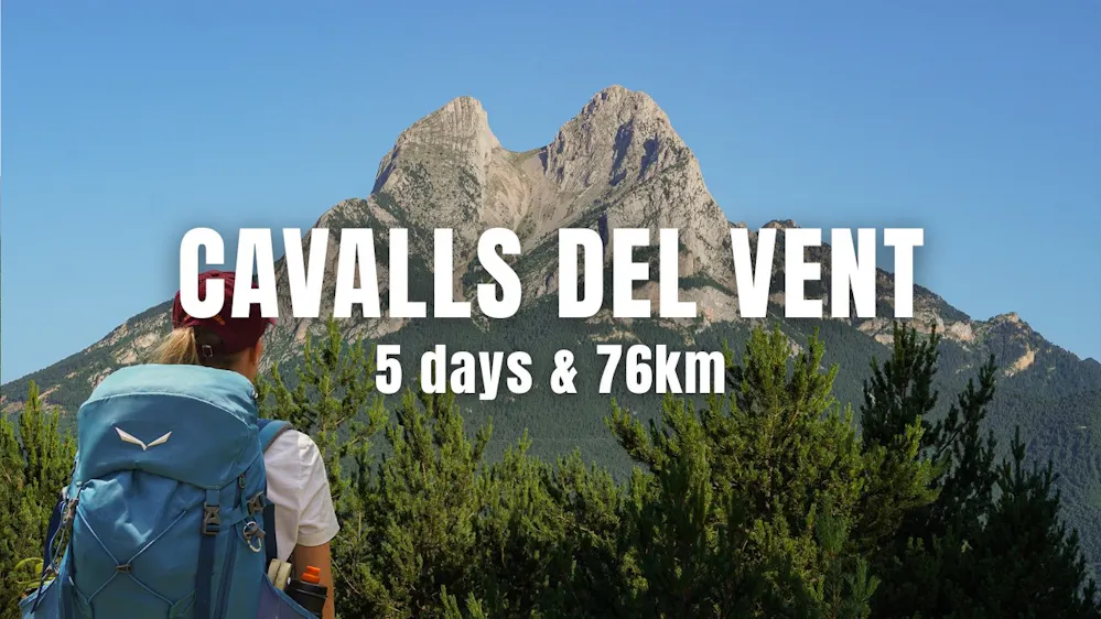
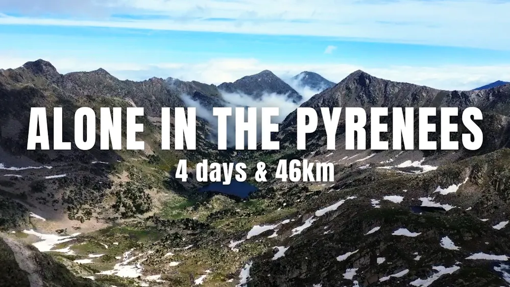
Watch Pyrenees
Hike news
Subscribe to our newsletter
Stay up to date with the latest hiking tips, trail guides, youtube videos, new blog posts and our product updates.