Nordic
Wide-open wilderness, open huts and the right to roam. From the fells of Swedish Lapland to Finland's forests and Iceland's volcanic highlands, the Nordic trails are about space, silence and long summer days.
- Northern Europe & the Arctic
- Region
- Sweden, Finland, Iceland
- Countries we cover
- July to early September
- Best season
- Kebnekaise, 2,097 m (Sweden)
- Highest peak
- Mountain huts, wilderness huts & camping
- Accommodation
- Arctic fells, forests & volcanic highlands
- Landscape
Endless light, open wilderness
Hiking in the Nordic countries feels different. Trails cross vast national parks with few roads and even fewer villages, and the right to roam means you can usually camp almost anywhere in Sweden and Finland, as long as you leave no trace.
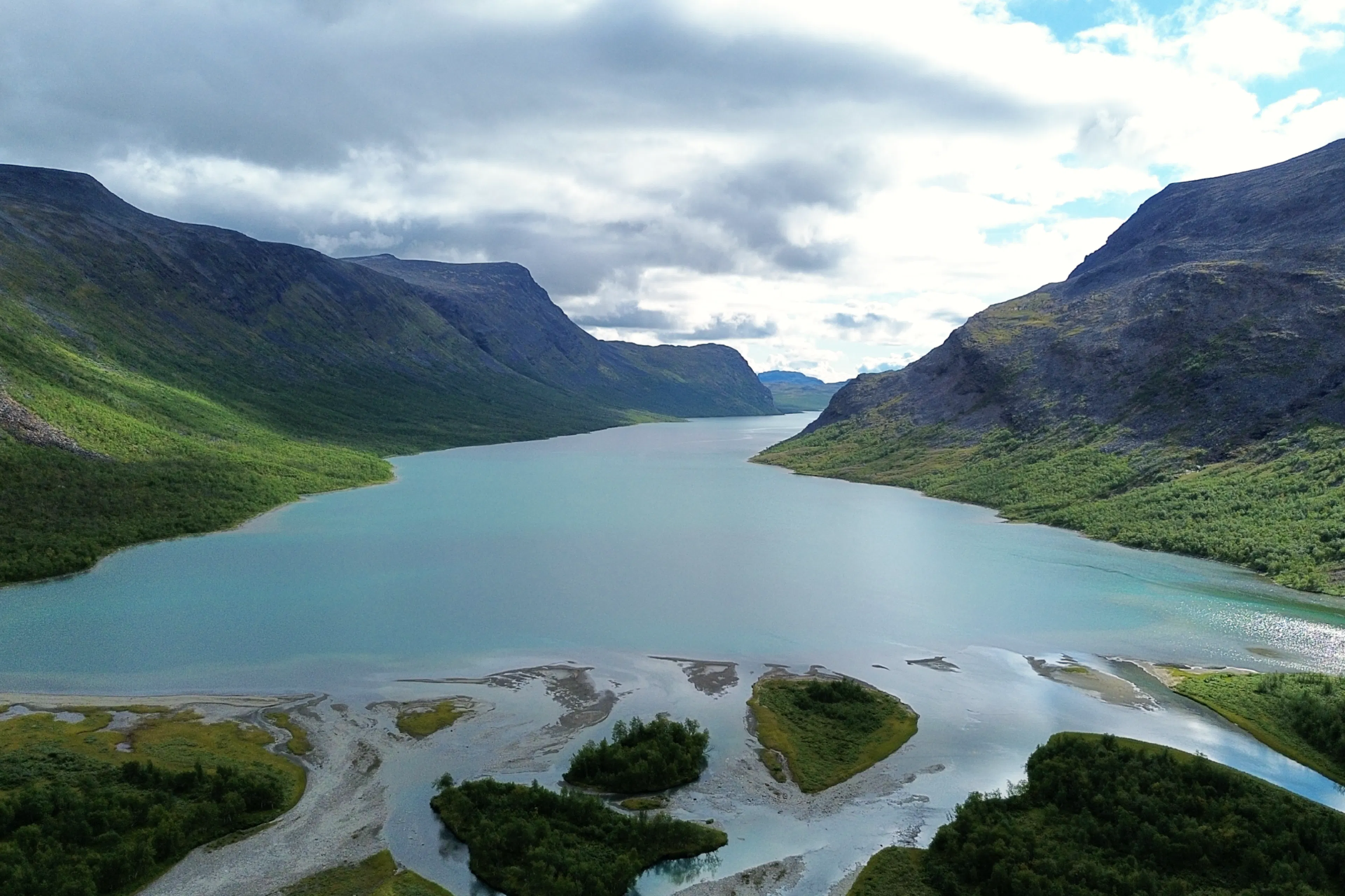
The landscape changes as you head north. Dense boreal forest and mirror-like lakes give way to open fells, treeless tundra and wide river valleys, with reindeer crossing the plateaus and the occasional glacier-fed stream cutting across your route. Above the Arctic Circle the horizon feels enormous, and you can walk for days without seeing a road.
The climbs are gentler, but the conditions ask more of you: changeable weather, cold rivers to wade and long stretches between supplies. In summer, the midnight sun keeps the sky bright, allowing long days of walk.
Best time to hike Nordic
- Best
- Shoulder
- Off season
- Jan January: Off season
- Feb February: Off season
- Mar March: Off season
- Apr April: Off season
- May May: Off season
- Jun June: Shoulder
- Jul July: Best
- Aug August: Best
- Sep September: Shoulder
- Oct October: Off season
- Nov November: Off season
- Dec December: Off season
July and August are the main hiking months. Snow can linger on the fells in June, and September brings autumn colours and fewer mosquitoes.
Trail reports in Nordic

Kungsleden
Arctic landscapes, remote valleys, and Sweden’s highest peak
- LocationSweden
- Difficulty
- Distance150km
- Stages9
- Elevation Gain 4650m
- Elevation Loss 4760m

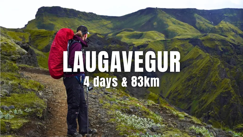
Laugavegur & Fimmvörðuháls
A hike of ice and fire - through glaciers and volcanoes
- LocationIceland
- Difficulty
- Distance83km
- Stages4 days
- Elevation Gain 3500m
- Elevation Loss 3000m
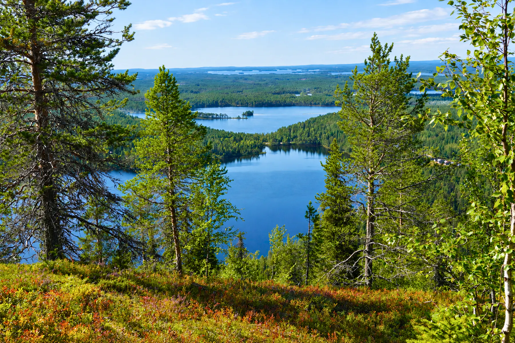
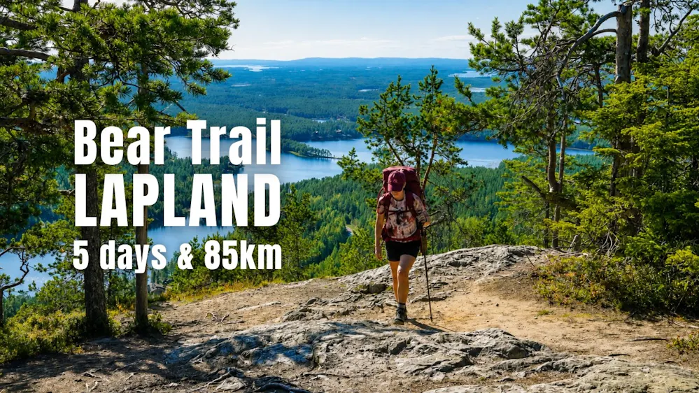
Iso Karhunkierros
"The Bear Trail" - Where forests, rivers, and reindeer meet
- LocationFinland
- Difficulty
- Distance85km
- Stages5
- Elevation Gain 2000m
- Elevation Loss 2100m
Good to know before hiking Nordic
Wild camping
The right to roam lets you camp on most land in Sweden and Finland. In Iceland, camp only at the designated sites or next to the huts.
Money
Swedish krona, Euro in Finland and Icelandic króna. Cards are accepted almost everywhere.
Wilderness facilities
In Sweden and Finland you can find many wilderness facilities along the trails such as shelters, toilets and fire pits.
Mosquitoes
Late June and July are peak mosquito season in Lapland. A head net and repellent make a big difference.
Getting around
Trains and buses reach most trailheads, but services are infrequent. Check timetables before you plan your stages.
Emergencies
Dial 112 in all three countries. Phone coverage can be low in remote areas.
Discover our Hike Planner
Create your perfect itinerary with our Hike Planner
Plan your long-distance hike stage by stage, with trail data verified by us on every route. All in one place.
- Curated hike data with official routes, variants, and more
- Design your hike stage by stage
- Find huts with real-time availability
- Download GPX files for your favorite navigation app
- Generate a printable PDF for your hike
Hiking stories from Nordic

How the STF Huts on the Kungsleden really work: shops, sauna, costs and more
Published on 25/10/2026
How the huts on the Kungsleden work: the self-service system, shops, sauna, prices, and when the STF membership pays off.
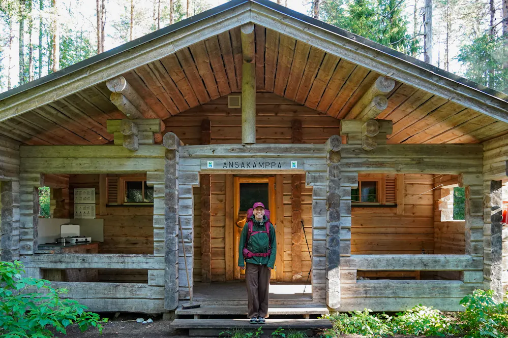
Finland's Right to Roam, Wild Camping and Wilderness Facilities
Published on 26/09/2026
Wondering if you can wild camp in Finland? Here's how the right to roam actually works, plus the huts and shelters you'll find on every trail.

We hiked in Iceland’s harsh weather and here’s what we learned
Published on 14/05/2025
Wind, rain, and river crossings - here’s what we learned hiking the Laugavegur Trail and how you can be ready for Iceland’s unpredictable weather.

Lapland’s winter wonderland: A hiker’s guide to Finland’s arctic trails
Published on 06/02/2025
Discover the best winter hikes in Lapland, Finland! From frozen waterfalls in Korouoma to fairy-tale forests in Riisitunturi and panoramic views from Levi Peak, this guide covers stunning trails, tips, and cozy local stops.

Hike news
Subscribe to our newsletter
Stay up to date with the latest hiking tips, trail guides, youtube videos, new blog posts and our product updates.