Pica d'Estats is the highest peak in Catalonia, at 3,143 m. The summit sits on the border with France, and the route crosses into French territory before the final climb.
This post covers how we did it in two days with a bivouac by a lake: when to go, how to get to the trailhead, the route to the summit, and what to pack. We also explain why you should avoid one specific day of the year.
When to go
The best season is July and August. The summit is high, and earlier in the season you can find snow on the upper part of the route. We'd also check the weather forecast closely, because afternoon storms are common in the high Pyrenees, so start early on summit day.
There's one date we suggest you avoid: 11 September, the National Day of Catalonia (the Diada). When we hiked it, it happened to be that day. On the Diada, many Catalans climb the peak as a symbol of pride for their territory. The atmosphere is special, but if you want a quiet mountain, with space on the trail and a free spot to pitch your tent, pick another weekend.
Getting to the trailhead
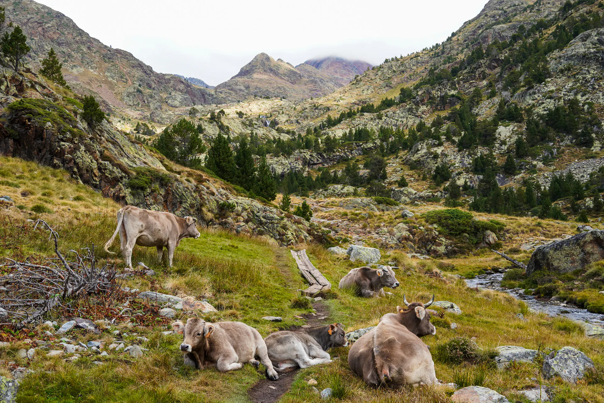
The hike starts in the Vall Ferrera, which you reach from the town of Àreu. Public transport doesn't get you there, so you'll need a car.
The road to the trailhead is a forest road. A 4x4 is recommended, but we did it with a normal car and it was fine, just a bit bumpy. When we went, the road was ok, but conditions change with the weather, so drive slowly and check recent reports. If you don't want to drive the forest road, you can park lower down at La Farga, a few kilometers past Àreu, and walk the extra distance to the refuge, which adds about two hours.
Parking in the Vall Ferrera is regulated and there's a reservation system for the parking areas, so check the parking reservation website before you go, especially during the high season.
The Route
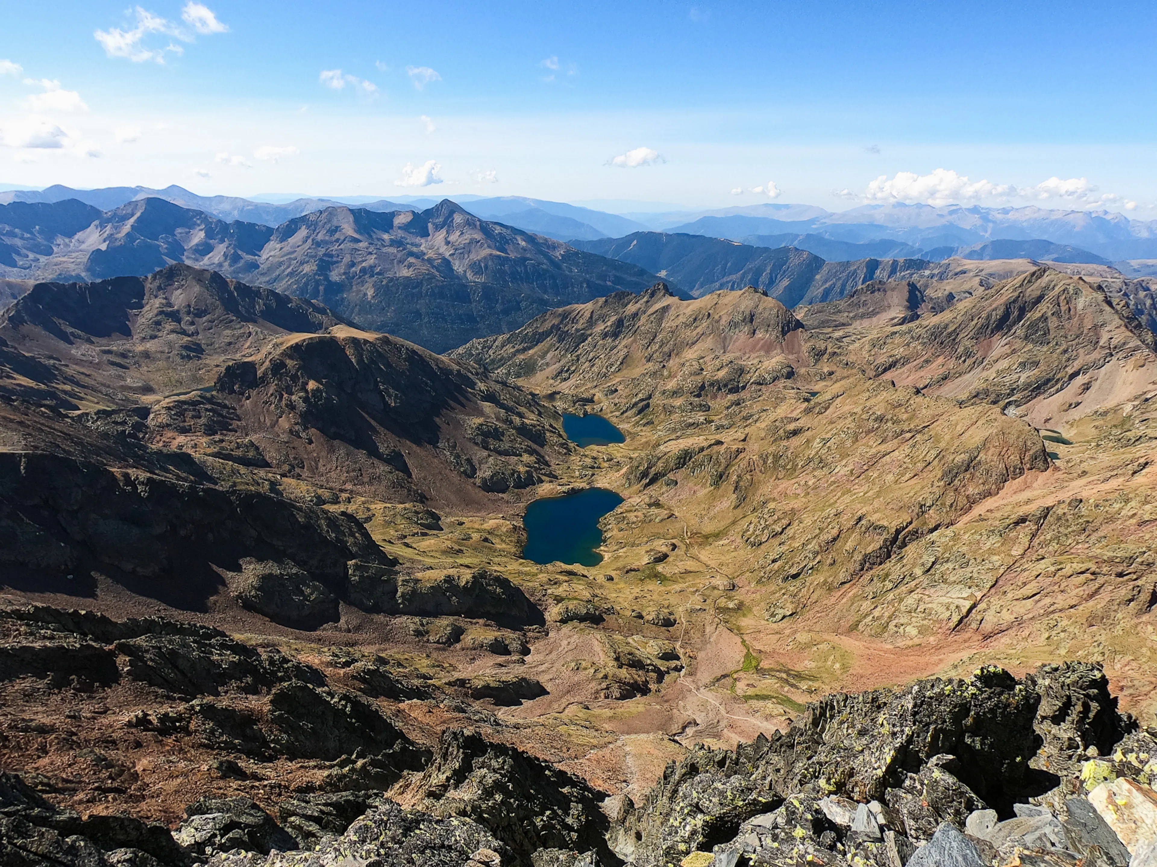
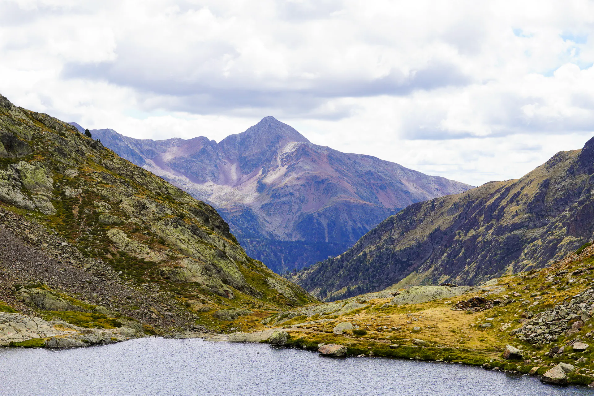
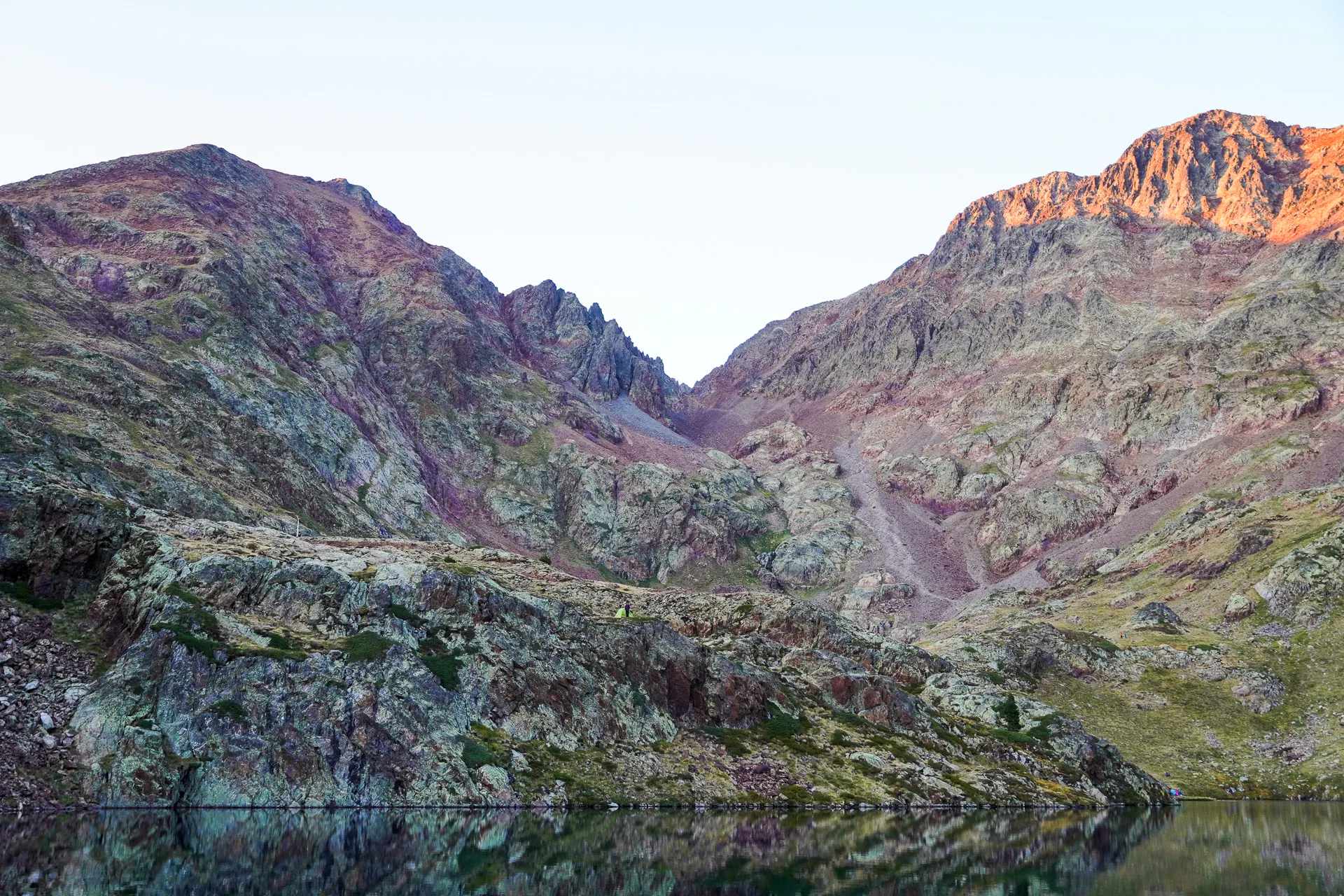
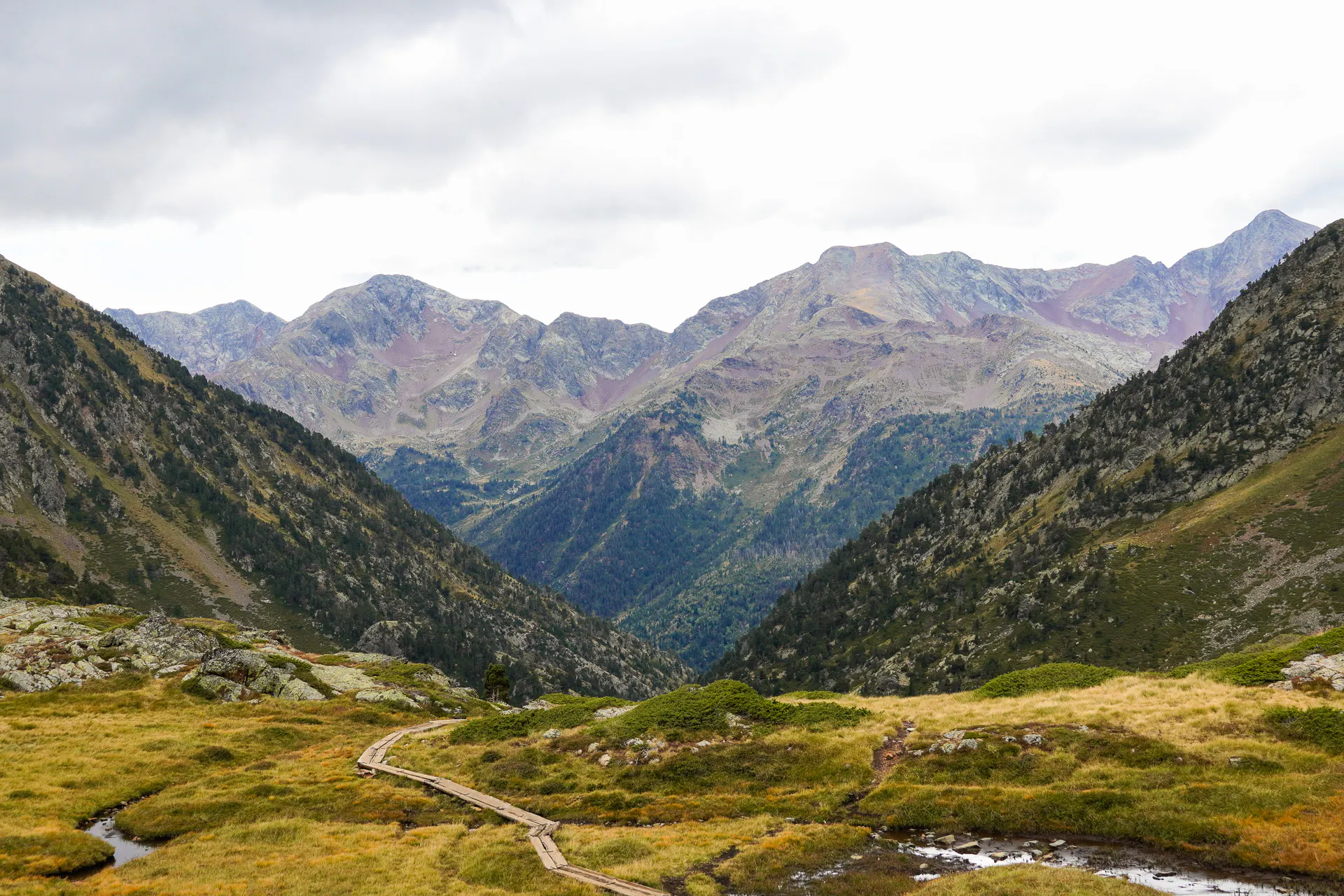
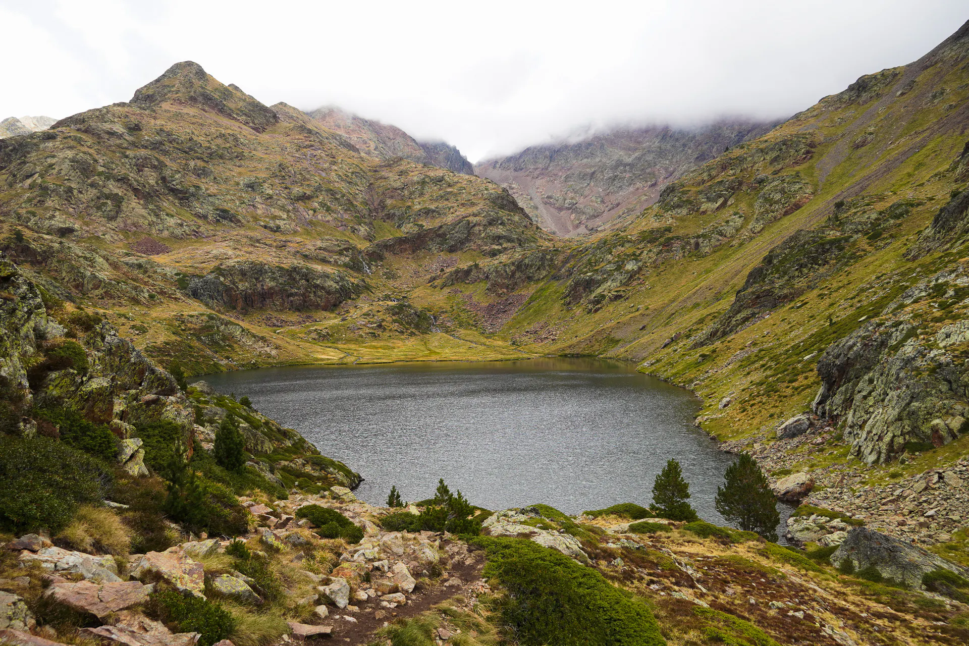
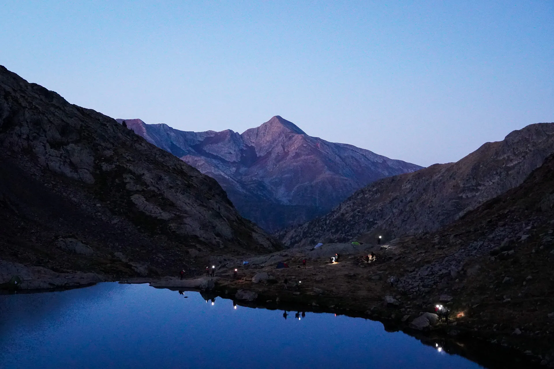
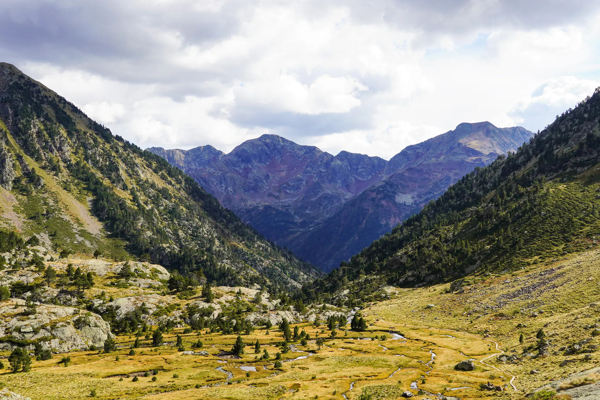
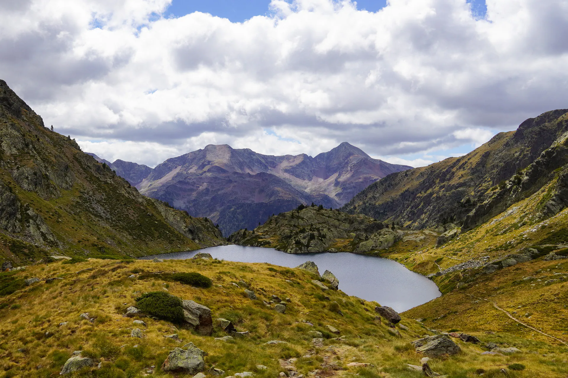
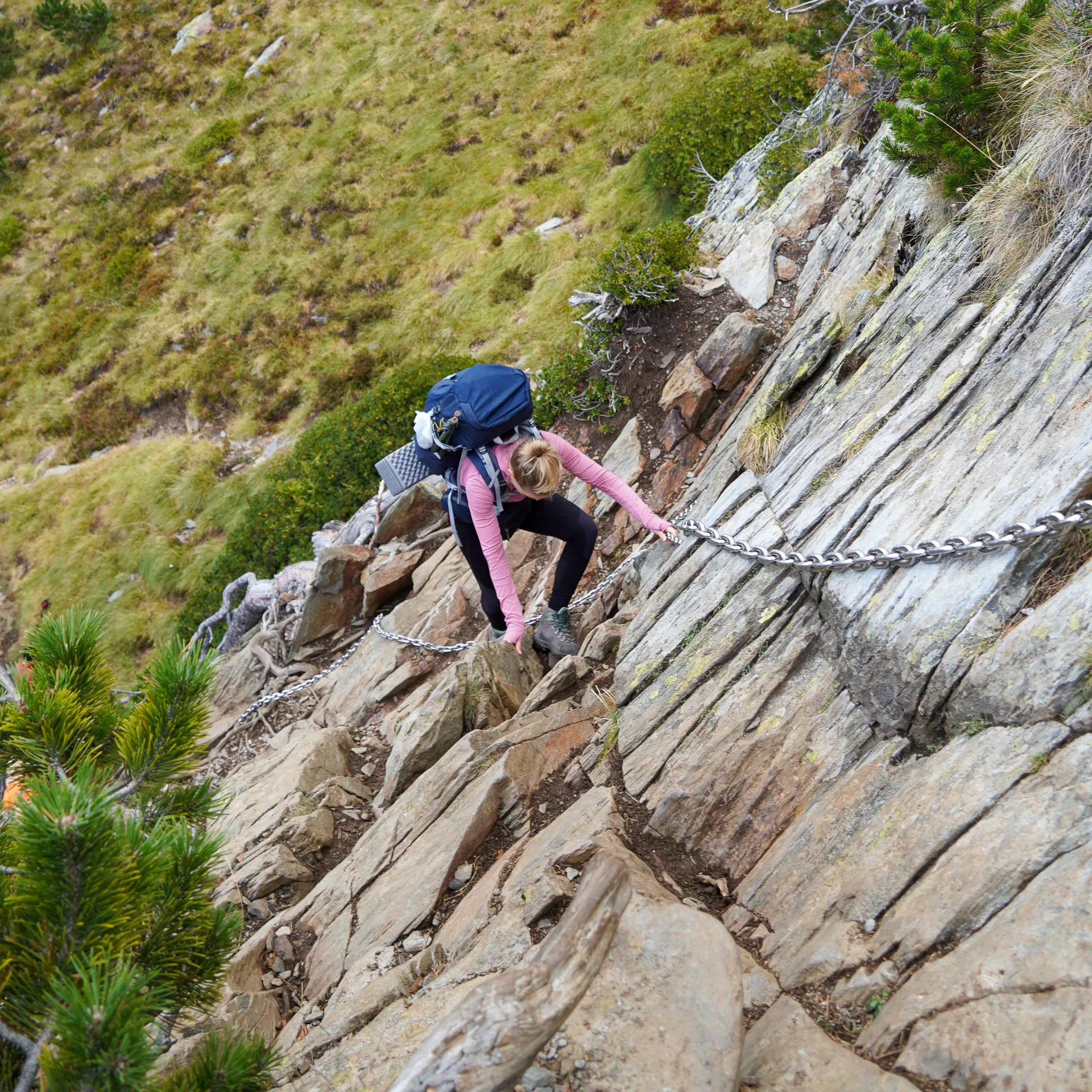
The route starts with a steady climb into the valley. Early on there are a few chains fixed to the rock. They're short, and you don't need to be a climber to use them, but take your time and use your hands, especially if the rock is wet. After the chains the trail continues along a river until you reach the first lake, Estany de Sotllo, and a bit higher up, the second one, Estany d’Estats. Both are good places for a break, to refill your water and to look at the terrain ahead. This is also where most people set up camp for the night if they split the hike in two days.
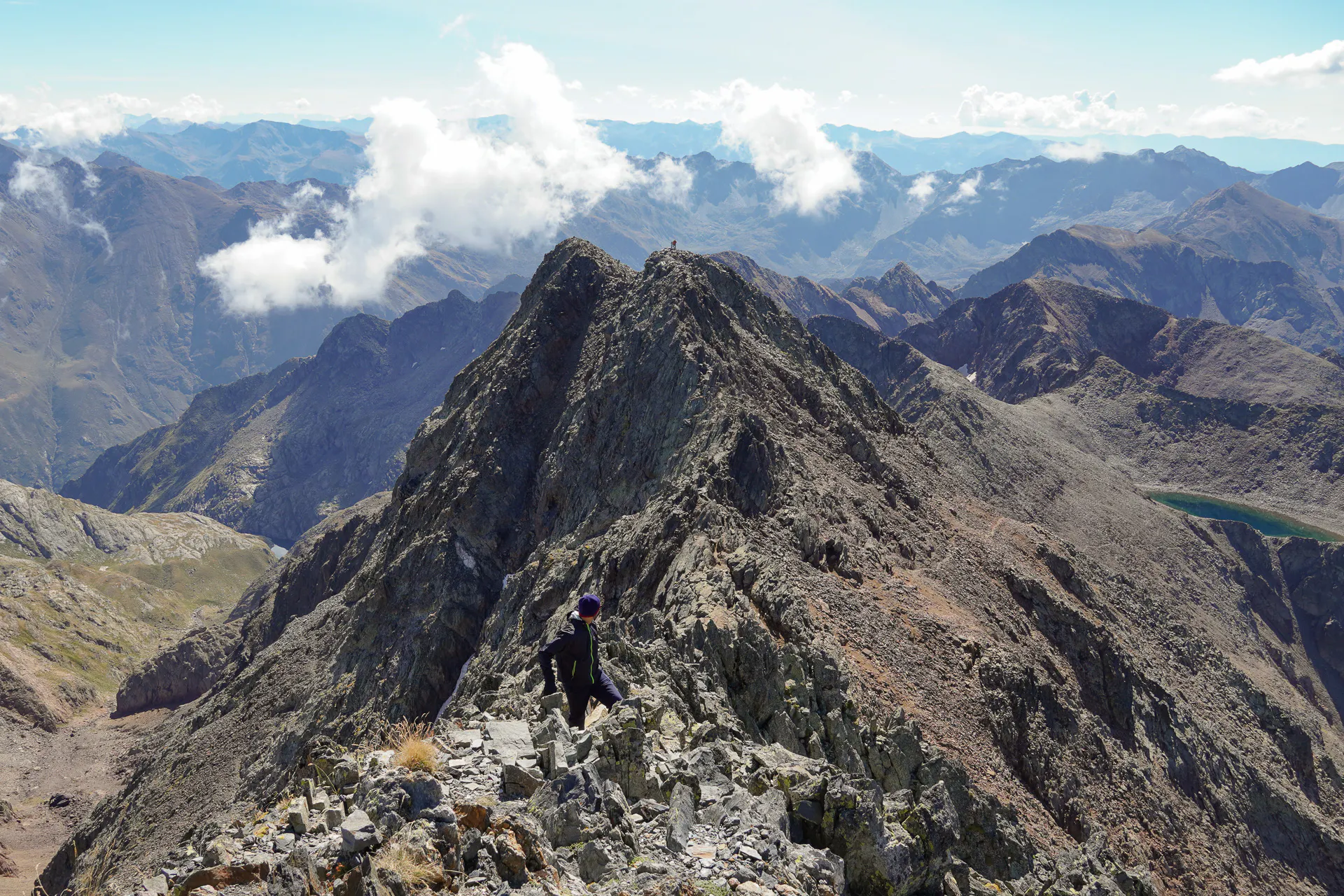
After the second lake the climb gets serious. The path goes up the mountain in a long series of steep zigzags, loose in places. At the top of the zigzags you reach the Port de Sotllo, the pass on the border, and from there you cross into France. The summit of the highest peak in Catalonia isn't reached from the Spanish side of the border, since you walk the last section on the French side to the top.
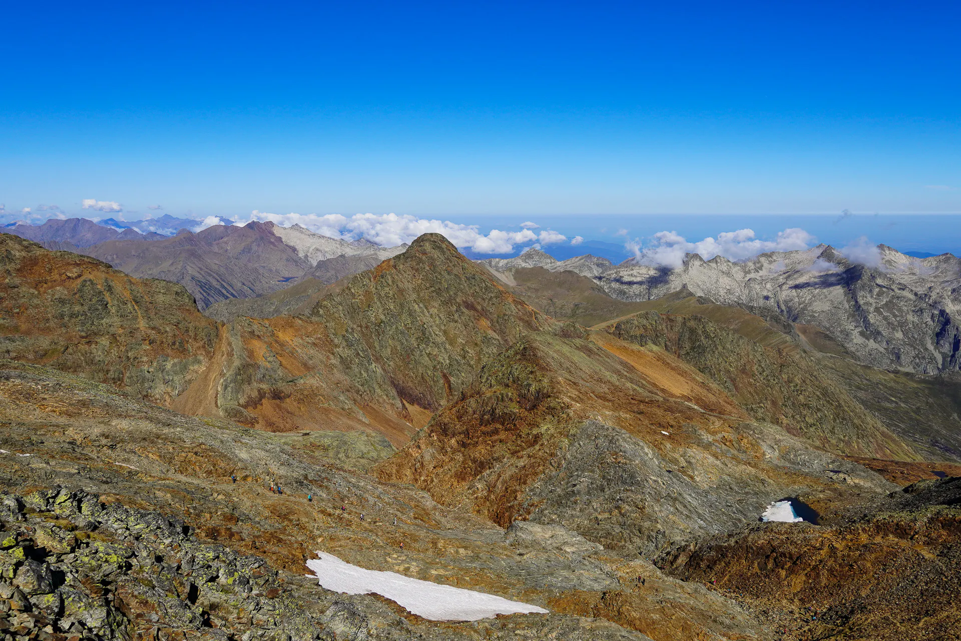
From the summit you have the border ridge, the other 3,000 m peaks of the massif, and a view over both countries. Then you go back the same way, down to the pass, the zigzags, and the lakes, until you reach the trailhead. The descent is long, so keep some energy for it.
The round trip is roughly 19 km, with over 1,600 m of ascent. So if you are planning to do it in one go, be ready for a very long day. We did the hike in two days, and we recommend it. Day one was the walk up to the second lake, and day two started early with the summit, and then the way back to the car.
Alt Pirineu Natural Park and bivouac rules
The hike is inside the Alt Pirineu Natural Park, and the park's official regulation tolerates bivouac above 2,000 m, from 20:00 to 08:00. In practice you pitch your tent in the evening and take it down early in the morning. Bring a good sleeping bag, because at that altitude the temperature at night can be close to 0 degrees, even in July and August, and a warm layer and a proper sleeping mat help too. And always follow the Leave No Trace principles.
An alternative for a overnight stay is the Vallferrera refuge, which is very close to the parking area. It's convenient if you arrive late: you sleep in the hut, start early the next morning, and go up to the summit travelling light, without a tent and camping gear on your back. The capacity is for 60 people and It can fill up in summer and on the weekends, so book in advance.
A few things worth knowing
- Start early. The weather in the high Pyrenees changes fast, and storms are common, especially in the afternoon.
- Pack for the mountain. Sturdy boots, warm layers, a rain jacket, sun protection, enough water and food for a long day.
- Stay on the path. The area has sensitive habitats, like peat bogs and the Pyrenean lizard, and shortcuts damage them.
- No swimming in the lakes. It's forbidden to swim in the lakes, even if you don't use soap. If you need to wash, take the water you need and do it far from the water source.
- No fires. Making a fire is completely forbidden.
For Catalans, Pica d'Estats is more than the highest point in the country. It's a symbol, and that's why so many climb it on the Diada. And even if you are not a local, it's still one of the best places in the Pyrenees for a weekend hike. In two days you get a real taste of the high mountain environment: a night by a lake, steep climbs, a border crossing and a summit above 3,000 m. It asks for effort and good preparation, but it pays you back.